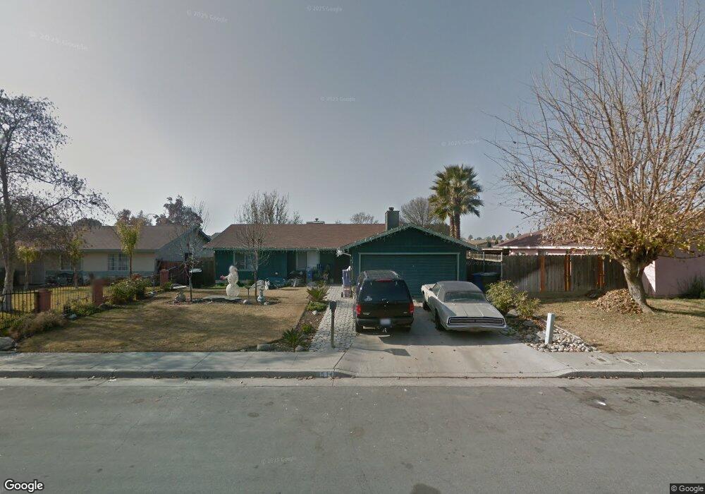
514 S 11 1/2 Ave Hanford, CA 93230
Estimated Value: $292,000 - $305,022
4
Beds
2
Baths
1,241
Sq Ft
$241/Sq Ft
Est. Value
About This Home
This home is located at 514 S 11 1/2 Ave, Hanford, CA 93230 and is currently estimated at $298,756, approximately $240 per square foot. 514 S 11 1/2 Ave is a home located in Kings County with nearby schools including Roosevelt Elementary School, Woodrow Wilson Junior High School, and Hanford West High School.
Ownership History
Date
Name
Owned For
Owner Type
Purchase Details
Closed on
Apr 8, 2002
Sold by
Howard Brandon
Bought by
Chase Manhattan Mtg Corp
Current Estimated Value
Purchase Details
Closed on
Jun 9, 1998
Sold by
Rincon Crescenciano and Hw Maria I
Bought by
Howard Brandon
Home Financials for this Owner
Home Financials are based on the most recent Mortgage that was taken out on this home.
Original Mortgage
$59,645
Interest Rate
6.91%
Mortgage Type
FHA
Create a Home Valuation Report for This Property
The Home Valuation Report is an in-depth analysis detailing your home's value as well as a comparison with similar homes in the area
Home Values in the Area
Average Home Value in this Area
Purchase History
| Date | Buyer | Sale Price | Title Company |
|---|---|---|---|
| Chase Manhattan Mtg Corp | $65,194 | First American Title Co | |
| Howard Brandon | $78,000 | Hanford Title Co |
Source: Public Records
Mortgage History
| Date | Status | Borrower | Loan Amount |
|---|---|---|---|
| Previous Owner | Howard Brandon | $59,645 | |
| Closed | Howard Brandon | $20,000 |
Source: Public Records
Tax History Compared to Growth
Tax History
| Year | Tax Paid | Tax Assessment Tax Assessment Total Assessment is a certain percentage of the fair market value that is determined by local assessors to be the total taxable value of land and additions on the property. | Land | Improvement |
|---|---|---|---|---|
| 2025 | $1,221 | $122,202 | $31,351 | $90,851 |
| 2023 | $1,221 | $117,459 | $30,135 | $87,324 |
| 2022 | $1,193 | $115,157 | $29,545 | $85,612 |
| 2021 | $1,166 | $112,900 | $28,966 | $83,934 |
| 2020 | $1,177 | $111,742 | $28,669 | $83,073 |
| 2019 | $1,156 | $109,551 | $28,107 | $81,444 |
| 2018 | $1,121 | $107,403 | $27,556 | $79,847 |
| 2017 | $1,103 | $105,297 | $27,016 | $78,281 |
| 2016 | $1,087 | $103,232 | $26,486 | $76,746 |
| 2015 | $1,079 | $101,681 | $26,088 | $75,593 |
| 2014 | $1,056 | $99,689 | $25,577 | $74,112 |
Source: Public Records
Map
Nearby Homes
- 573 Manor Ave
- 735 Manor Ave
- 626 Kimball Ln
- 1240 Washington St
- 558 Parsons St
- 152 Walnut St
- 165 Walnut St
- 670 Grant St
- 148 Walnut St
- 1405 Arthur St
- 650 S 11th Ave
- 930 W 7th St
- 1526 W Bison Ln Unit Ae 86
- 942 W 7th St
- 1121 W 6th St
- 1575 Bluejay Cir
- 1292 Monterey Ave
- 1292 S Monterey Ave
- 8.11 Acres W Lacey Blvd
- 0 Campus Dr
- 526 S 11 1/2 Ave
- 1303 Lombard St
- 1317 Lombard St
- 523 Manor Ave
- 548 S 11 1/2 Ave
- 519 S 11 1/2 Ave
- 1323 Lombard St
- 545 Manor Ave
- 260 Manor Ave
- 261 Manor Ave
- 259 Manor Ave
- 252 Manor Ave
- 1282 Sansome St
- 1281 Lombard St
- 559 Manor Ave
- 1308 Lombard St
- 1314 Lombard St
- 562 S 11 1/2 Ave
- 1302 Lombard St
- 1285 Sansome St