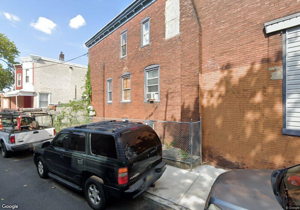
5141 Race St Philadelphia, PA 19139
Dunlap NeighborhoodEstimated Value: $167,000 - $220,000
--
Bed
--
Bath
1,870
Sq Ft
$103/Sq Ft
Est. Value
About This Home
This home is located at 5141 Race St, Philadelphia, PA 19139 and is currently estimated at $193,500, approximately $103 per square foot. 5141 Race St is a home located in Philadelphia County with nearby schools including James Rhoads Elementary School, Overbrook High School, and KIPP Philadelphia Octavius Catto CS.
Ownership History
Date
Name
Owned For
Owner Type
Purchase Details
Closed on
May 8, 2020
Sold by
Mitchell Tony
Bought by
Modern Legacy Brand Llc
Current Estimated Value
Home Financials for this Owner
Home Financials are based on the most recent Mortgage that was taken out on this home.
Original Mortgage
$148,800
Interest Rate
3.5%
Mortgage Type
Balloon
Purchase Details
Closed on
Sep 29, 2003
Sold by
Green Marlon J and Johnson Susie R
Bought by
Mitchell Tony
Create a Home Valuation Report for This Property
The Home Valuation Report is an in-depth analysis detailing your home's value as well as a comparison with similar homes in the area
Home Values in the Area
Average Home Value in this Area
Purchase History
| Date | Buyer | Sale Price | Title Company |
|---|---|---|---|
| Modern Legacy Brand Llc | $110,000 | Olde City Abstract Inc | |
| Mitchell Tony | $10,600 | -- |
Source: Public Records
Mortgage History
| Date | Status | Borrower | Loan Amount |
|---|---|---|---|
| Closed | Modern Legacy Brand Llc | $148,800 |
Source: Public Records
Tax History Compared to Growth
Tax History
| Year | Tax Paid | Tax Assessment Tax Assessment Total Assessment is a certain percentage of the fair market value that is determined by local assessors to be the total taxable value of land and additions on the property. | Land | Improvement |
|---|---|---|---|---|
| 2025 | $3,235 | $199,400 | $39,880 | $159,520 |
| 2024 | $3,235 | $199,400 | $39,880 | $159,520 |
| 2023 | $3,235 | $231,100 | $46,220 | $184,880 |
| 2022 | $1,327 | $231,100 | $46,220 | $184,880 |
| 2021 | $1,327 | $0 | $0 | $0 |
| 2020 | $1,327 | $0 | $0 | $0 |
| 2019 | $1,278 | $0 | $0 | $0 |
| 2018 | $983 | $0 | $0 | $0 |
| 2017 | $983 | $0 | $0 | $0 |
| 2016 | $983 | $0 | $0 | $0 |
| 2015 | $941 | $0 | $0 | $0 |
| 2014 | -- | $70,200 | $5,497 | $64,703 |
| 2012 | -- | $8,000 | $1,150 | $6,850 |
Source: Public Records
Map
Nearby Homes
- 226 N Paxon St
- 241 N Paxon St
- 5106 Race St
- 213 N Ramsey St
- 5216 Race St
- 5144 Haverford Ave
- 5146 Haverford Ave
- 1666 N Lindenwood St
- 141 N Lindenwood St
- 21 N Dearborn St
- 23 N Dearborn St
- 448 N Dearborn St
- 105 N 52nd St
- 248 N Wilton St
- 5148 Brown St
- 5039 Haverford Ave
- 44 Farson St
- 230 N 53rd St
- 133 N Farson St
- 5032 Aspen St
- 5139 Race St
- 5137 Race St
- 211 N Creighton St
- 5135 Race St
- 213 N Creighton St
- 215 N Creighton St
- 5133 Race St
- 210 N Paxon St
- 217 N Creighton St
- 212 N Paxon St
- 5131 Race St
- 219 N Creighton St
- 214 N Paxon St
- 211 N 52nd St
- 221 N Creighton St
- 218 N Paxon St
- 213 N 52nd St
- 223 N Creighton St
- 5138 Race St
- 149 N 52nd St