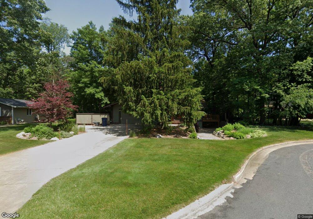
5146 Burning Tree Rd Kalamazoo, MI 49009
Estimated Value: $368,000 - $395,000
4
Beds
3
Baths
3,040
Sq Ft
$126/Sq Ft
Est. Value
About This Home
This home is located at 5146 Burning Tree Rd, Kalamazoo, MI 49009 and is currently estimated at $383,251, approximately $126 per square foot. 5146 Burning Tree Rd is a home located in Kalamazoo County with nearby schools including 12th Street Elementary School, Portage West Middle School, and Portage Central High School.
Ownership History
Date
Name
Owned For
Owner Type
Purchase Details
Closed on
Jan 30, 2025
Sold by
Olbrot John L and Olbrot Mary T
Bought by
John L Olbrot And Mary T Olbrot Joint Trust and Olbrot
Current Estimated Value
Purchase Details
Closed on
Jul 14, 2008
Sold by
Kline Mark R and Kline Karlene R
Bought by
Olbrot John L and Olbrot Mary T
Home Financials for this Owner
Home Financials are based on the most recent Mortgage that was taken out on this home.
Original Mortgage
$80,000
Interest Rate
6.15%
Mortgage Type
Purchase Money Mortgage
Create a Home Valuation Report for This Property
The Home Valuation Report is an in-depth analysis detailing your home's value as well as a comparison with similar homes in the area
Home Values in the Area
Average Home Value in this Area
Purchase History
| Date | Buyer | Sale Price | Title Company |
|---|---|---|---|
| John L Olbrot And Mary T Olbrot Joint Trust | -- | None Listed On Document | |
| Olbrot John L | $222,000 | Chicago Title |
Source: Public Records
Mortgage History
| Date | Status | Borrower | Loan Amount |
|---|---|---|---|
| Previous Owner | Olbrot John L | $80,000 |
Source: Public Records
Tax History Compared to Growth
Tax History
| Year | Tax Paid | Tax Assessment Tax Assessment Total Assessment is a certain percentage of the fair market value that is determined by local assessors to be the total taxable value of land and additions on the property. | Land | Improvement |
|---|---|---|---|---|
| 2025 | $1,453 | $157,400 | $0 | $0 |
| 2024 | $1,411 | $146,900 | $0 | $0 |
| 2023 | $1,345 | $137,100 | $0 | $0 |
| 2022 | $4,408 | $124,100 | $0 | $0 |
| 2021 | $4,283 | $117,300 | $0 | $0 |
| 2020 | $4,182 | $115,200 | $0 | $0 |
| 2019 | $3,825 | $111,800 | $0 | $0 |
| 2018 | $2,465 | $128,100 | $0 | $0 |
| 2017 | -- | $128,800 | $0 | $0 |
| 2016 | -- | $124,500 | $0 | $0 |
| 2015 | -- | $109,900 | $16,500 | $93,400 |
| 2014 | -- | $109,900 | $0 | $0 |
Source: Public Records
Map
Nearby Homes
- 5456 Stoney Brook Rd
- 6035 S 12th St
- 4610 Geneva Ave
- 5464 Cypress Bay Dr
- 4691 Ashton Farms Blvd
- 4704 Romence Rd
- 5928 Boxthorn Trail
- 4280 Romence Rd
- 8420 S 12th St
- 5353 Chickadee Dr
- 5950 Boxthorn Trail
- 7795 W Saint Andrews Cir Unit 10
- Traditions 3100 Plan at Applegate Pines
- 5978 Boxthorn Trail
- Traditions 3400 V8.0b Plan at Applegate Pines
- 5250 Queen Victoria Ln
- 6760 Annandale Dr
- 6061 Equestrian Woods Ct
- 6107 Equestrian Woods Ct Unit 267
- 6139 Delasala Ct
- 5156 Burning Tree Rd
- 5136 Burning Tree Rd
- 5166 Burning Tree Rd
- 5125 Burning Tree Rd
- 5143 Burning Tree Rd
- 5153 Burning Tree Rd
- 5140 Thrasher Ct
- 5133 Burning Tree Rd
- 5186 Foxcroft Dr
- 5121 Thrasher Ct
- 5176 Burning Tree Rd
- 5204 Foxcroft Dr
- 5154 Foxcroft Dr
- 5163 Burning Tree Rd
- 5222 Foxcroft Dr
- 5134 Foxcroft Dr
- 5132 Thrasher Ct
- 5173 Burning Tree Rd
- 7579 Hunters Ridge Dr
- 7595 Hunters Ridge Dr