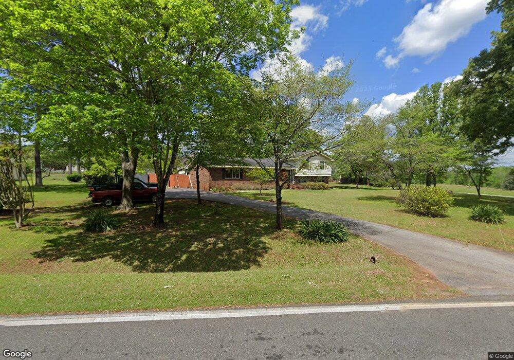
515 Daniel Rd Thomaston, GA 30286
Estimated Value: $288,000 - $359,000
4
Beds
2
Baths
2,400
Sq Ft
$137/Sq Ft
Est. Value
About This Home
This home is located at 515 Daniel Rd, Thomaston, GA 30286 and is currently estimated at $329,961, approximately $137 per square foot. 515 Daniel Rd is a home located in Upson County with nearby schools including Upson-Lee South Elementary School, Upson-Lee North Elementary School, and Upson-Lee Middle School.
Ownership History
Date
Name
Owned For
Owner Type
Purchase Details
Closed on
Aug 30, 2019
Sold by
Pippin Andrew M
Bought by
Trillich Allan G and Trillich Patricia A
Current Estimated Value
Purchase Details
Closed on
Nov 6, 2006
Sold by
Anglea Dodgen Meloun
Bought by
Pippin Andrew M
Home Financials for this Owner
Home Financials are based on the most recent Mortgage that was taken out on this home.
Original Mortgage
$112,500
Interest Rate
6.25%
Mortgage Type
New Conventional
Create a Home Valuation Report for This Property
The Home Valuation Report is an in-depth analysis detailing your home's value as well as a comparison with similar homes in the area
Home Values in the Area
Average Home Value in this Area
Purchase History
| Date | Buyer | Sale Price | Title Company |
|---|---|---|---|
| Trillich Allan G | $170,000 | -- | |
| Pippin Andrew M | -- | -- |
Source: Public Records
Mortgage History
| Date | Status | Borrower | Loan Amount |
|---|---|---|---|
| Previous Owner | Pippin Andrew M | $112,500 | |
| Previous Owner | Pippin Andrew M | $75,000 |
Source: Public Records
Tax History
| Year | Tax Paid | Tax Assessment Tax Assessment Total Assessment is a certain percentage of the fair market value that is determined by local assessors to be the total taxable value of land and additions on the property. | Land | Improvement |
|---|---|---|---|---|
| 2025 | $2,740 | $122,074 | $31,200 | $90,874 |
| 2024 | $2,740 | $115,224 | $31,200 | $84,024 |
| 2023 | $2,672 | $110,538 | $31,200 | $79,338 |
| 2022 | $2,327 | $93,478 | $31,200 | $62,278 |
| 2021 | $1,709 | $74,356 | $21,600 | $52,756 |
| 2020 | $1,903 | $67,456 | $17,600 | $49,856 |
| 2019 | $1,912 | $64,404 | $17,600 | $46,804 |
| 2018 | $1,913 | $64,404 | $17,600 | $46,804 |
| 2017 | $1,513 | $46,996 | $8,000 | $38,996 |
| 2016 | $1,493 | $45,691 | $8,000 | $37,691 |
| 2015 | $1,494 | $45,691 | $8,000 | $37,691 |
| 2014 | $1,478 | $45,166 | $8,000 | $37,166 |
Source: Public Records
Map
Nearby Homes
- 121 David Dr
- 202 Daniel Rd
- 107 Maynard St
- 121 Salbar St
- 0 Daniel Rd Unit 10644862
- 215 Denham St
- 115 Hillside Dr
- 318 North St
- 0 Glenwood Dr Unit 10568562
- 124 Brookfield Dr
- 109 Salter Rd
- 100 Beaver Run Trace
- 458 E St
- 19 Fallin Rd
- 422 Heath Dr
- 134 Church Rd
- 0 12th Ave Unit 10630351
- 431 Heath Dr
- 322 Pardue Dr
- 505 Heath Dr
Your Personal Tour Guide
Ask me questions while you tour the home.