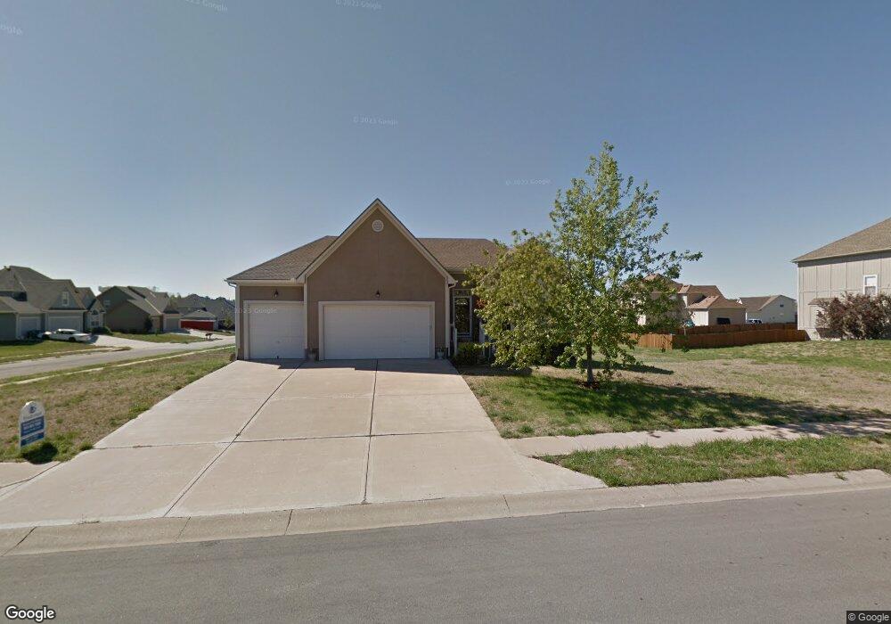
515 E Ash Raymore, MO 64083
Estimated Value: $359,000 - $433,000
3
Beds
3
Baths
1,217
Sq Ft
$321/Sq Ft
Est. Value
About This Home
This home is located at 515 E Ash, Raymore, MO 64083 and is currently estimated at $390,199, approximately $320 per square foot. 515 E Ash is a home located in Cass County with nearby schools including Bridle Ridge Intermediate School, Raymore-Peculiar South Middle School, and Raymore-Peculiar Senior High School.
Ownership History
Date
Name
Owned For
Owner Type
Purchase Details
Closed on
Jul 11, 2014
Sold by
Sloan Lorie Ann and Sloan Brian E
Bought by
Sloan Mary Susan and Mcglothlin Stan
Current Estimated Value
Home Financials for this Owner
Home Financials are based on the most recent Mortgage that was taken out on this home.
Original Mortgage
$125,000
Outstanding Balance
$94,727
Interest Rate
4.18%
Mortgage Type
New Conventional
Estimated Equity
$295,472
Purchase Details
Closed on
Mar 21, 2007
Sold by
Woods Clint E
Bought by
Woods Lorie A
Home Financials for this Owner
Home Financials are based on the most recent Mortgage that was taken out on this home.
Original Mortgage
$167,920
Interest Rate
7.25%
Mortgage Type
Adjustable Rate Mortgage/ARM
Create a Home Valuation Report for This Property
The Home Valuation Report is an in-depth analysis detailing your home's value as well as a comparison with similar homes in the area
Home Values in the Area
Average Home Value in this Area
Purchase History
| Date | Buyer | Sale Price | Title Company |
|---|---|---|---|
| Sloan Mary Susan | -- | Secured Title Of Kansas City | |
| Woods Lorie A | -- | -- |
Source: Public Records
Mortgage History
| Date | Status | Borrower | Loan Amount |
|---|---|---|---|
| Open | Sloan Mary Susan | $125,000 | |
| Previous Owner | Woods Lorie A | $167,920 |
Source: Public Records
Tax History
| Year | Tax Paid | Tax Assessment Tax Assessment Total Assessment is a certain percentage of the fair market value that is determined by local assessors to be the total taxable value of land and additions on the property. | Land | Improvement |
|---|---|---|---|---|
| 2025 | $3,756 | $52,120 | $7,000 | $45,120 |
| 2024 | $3,756 | $46,150 | $6,370 | $39,780 |
| 2023 | $3,751 | $46,150 | $6,370 | $39,780 |
| 2022 | $3,412 | $41,700 | $6,370 | $35,330 |
| 2021 | $3,412 | $41,700 | $6,370 | $35,330 |
| 2020 | $3,359 | $40,320 | $6,370 | $33,950 |
| 2019 | $3,242 | $40,320 | $6,370 | $33,950 |
| 2018 | $3,004 | $36,080 | $5,440 | $30,640 |
| 2017 | $2,762 | $36,080 | $5,440 | $30,640 |
| 2016 | $2,762 | $34,430 | $5,440 | $28,990 |
| 2015 | $2,764 | $34,430 | $5,440 | $28,990 |
| 2014 | $2,765 | $34,430 | $5,440 | $28,990 |
| 2013 | -- | $34,430 | $5,440 | $28,990 |
Source: Public Records
Map
Nearby Homes
- 720 Sandpiper St
- 804 S Washington St
- 605 S Franklin St
- 702 Twilight Ct
- 528 S Saturn Dr
- 522 Neptune Dr
- 503 S Harrison Ave
- 1024 S Madison St
- 515 S Saturn Dr
- 709 Derby St
- Lot 12 Municipal Cir
- Lot 6 Municipal Cir
- Lot 13 Municipal Cir
- 405 S Monroe St
- 506 S Adams St
- 305 E Olive St
- 211 S Franklin St
- 713 S Sunset Ln
- 0 Missouri 58
- 600 W Buena Vista Dr
Your Personal Tour Guide
Ask me questions while you tour the home.