515 Fosters Point Rd West Bath, ME 04530
Estimated Value: $523,000 - $784,000
4
Beds
1
Bath
1,392
Sq Ft
$479/Sq Ft
Est. Value
About This Home
This home is located at 515 Fosters Point Rd, West Bath, ME 04530 and is currently estimated at $666,865, approximately $479 per square foot. 515 Fosters Point Rd is a home located in Sagadahoc County with nearby schools including Morse High School.
Ownership History
Date
Name
Owned For
Owner Type
Purchase Details
Closed on
Jul 22, 2019
Sold by
Bartholomay Ret
Bought by
Bartholomay Francis E
Current Estimated Value
Purchase Details
Closed on
Oct 20, 2017
Sold by
Bartholomay Francis E and Bartholomay Helyn C
Bought by
Bartholomay Ret
Purchase Details
Closed on
Sep 2, 2005
Sold by
Bartholomay Francis E and Bartholomay Dolores G
Bought by
Bartholomay Francis E and Bartholomay Helyn C
Create a Home Valuation Report for This Property
The Home Valuation Report is an in-depth analysis detailing your home's value as well as a comparison with similar homes in the area
Home Values in the Area
Average Home Value in this Area
Purchase History
| Date | Buyer | Sale Price | Title Company |
|---|---|---|---|
| Bartholomay Francis E | -- | -- | |
| Bartholomay Ret | -- | -- | |
| Bartholomay Francis E | -- | -- |
Source: Public Records
Tax History Compared to Growth
Tax History
| Year | Tax Paid | Tax Assessment Tax Assessment Total Assessment is a certain percentage of the fair market value that is determined by local assessors to be the total taxable value of land and additions on the property. | Land | Improvement |
|---|---|---|---|---|
| 2024 | $4,422 | $539,300 | $323,800 | $215,500 |
| 2023 | $4,768 | $701,200 | $485,700 | $215,500 |
| 2022 | $4,007 | $374,500 | $305,200 | $69,300 |
| 2021 | $3,932 | $374,500 | $305,200 | $69,300 |
| 2020 | $3,872 | $368,800 | $305,200 | $63,600 |
| 2019 | $3,872 | $368,800 | $305,200 | $63,600 |
| 2018 | $1,810 | $368,800 | $305,200 | $63,600 |
| 2017 | $4,131 | $368,800 | $305,200 | $63,600 |
| 2016 | $3,449 | $338,100 | $274,500 | $63,600 |
| 2015 | $3,516 | $338,100 | $274,500 | $63,600 |
| 2014 | $3,449 | $338,100 | $274,500 | $63,600 |
| 2013 | $3,432 | $338,100 | $274,500 | $63,600 |
Source: Public Records
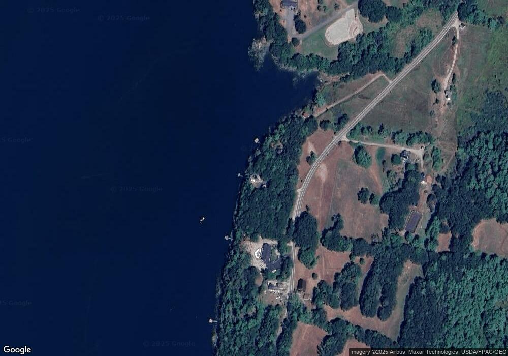
Map
Nearby Homes
- 51 & 53 Rock Haven Dr
- Lot 27 Howards Point Ln
- 47 Cluf Bay Rd
- 60 Rosedale Rd
- 19 Ward Cir
- 6 Balsam Ave
- 38 Ward Cir
- 260 Coombs Rd
- 29 & 30 Nob Hill Ave
- 646 Gurnet Rd
- Lot 18 Beacon Dr
- Lot 11 Beacon Dr
- Lot 23 Beacon Dr
- 11 Beacon Dr
- 2 Chickadee Cir Unit 2
- 31 Beacon Dr
- 11 Neptune Dr
- 15 Neptune Dr
- 46 Dam Cove Rd
- 42 Guadalcanal St Unit 42
- 511 Fosters Point Rd
- 501 Fosters Point Rd
- 529 Fosters Point Rd
- 537 Fosters Point Rd
- 479 Fosters Point Rd
- 500 Fosters Point Rd
- 557 Fosters Point Rd
- 557 Foster's Point Rd
- 480 Fosters Point Rd
- 571 Fosters Point Rd
- 581 Fosters Point Rd
- 5 Broad Cove Rd
- 581 Foster Point
- 581 Foster's Point
- 11 Cottage Dr
- 583 Fosters Point Rd
- 585 Fosters Point Rd
- 585 Fosters Point Rd
- 3 Broad Cove
- 88 Fosters Point Rd