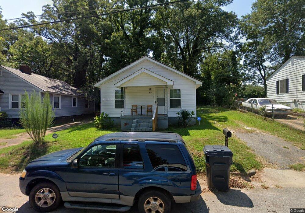
515 Johnson St Anderson, SC 29624
Estimated Value: $61,682 - $122,000
2
Beds
--
Bath
746
Sq Ft
$108/Sq Ft
Est. Value
About This Home
This home is located at 515 Johnson St, Anderson, SC 29624 and is currently estimated at $80,921, approximately $108 per square foot. 515 Johnson St is a home located in Anderson County with nearby schools including Varennes Elementary School, Robert Anderson Middle School, and Westside High School.
Ownership History
Date
Name
Owned For
Owner Type
Purchase Details
Closed on
Aug 27, 2024
Sold by
Thompson Darryl Alexander
Bought by
Thompson Darryl Alexander and Thompson Stephen Patrick
Current Estimated Value
Purchase Details
Closed on
Apr 4, 2024
Sold by
Thompson Harry Randolph
Bought by
Thompson Beatrice
Purchase Details
Closed on
Apr 11, 2019
Sold by
Thompson Beatrice and Thompson Beatrice
Bought by
Thompson Harry Randolph and Thompson Stephen Patrick
Purchase Details
Closed on
Apr 10, 2007
Sold by
Thompson Harry S
Bought by
Thompson Beatrice
Create a Home Valuation Report for This Property
The Home Valuation Report is an in-depth analysis detailing your home's value as well as a comparison with similar homes in the area
Home Values in the Area
Average Home Value in this Area
Purchase History
| Date | Buyer | Sale Price | Title Company |
|---|---|---|---|
| Thompson Darryl Alexander | -- | None Listed On Document | |
| Thompson Darryl Alexander | -- | None Listed On Document | |
| Thompson Beatrice | -- | None Listed On Document | |
| Thompson Harry Randolph | -- | None Available | |
| Thompson Beatrice | -- | None Available |
Source: Public Records
Tax History Compared to Growth
Tax History
| Year | Tax Paid | Tax Assessment Tax Assessment Total Assessment is a certain percentage of the fair market value that is determined by local assessors to be the total taxable value of land and additions on the property. | Land | Improvement |
|---|---|---|---|---|
| 2024 | $414 | $880 | $300 | $580 |
| 2023 | $414 | $880 | $300 | $580 |
| 2022 | $379 | $880 | $300 | $580 |
| 2021 | $373 | $830 | $210 | $620 |
| 2020 | $367 | $830 | $210 | $620 |
| 2019 | $367 | $830 | $210 | $620 |
| 2018 | $364 | $830 | $210 | $620 |
| 2017 | -- | $830 | $210 | $620 |
| 2016 | $323 | $1,020 | $210 | $810 |
| 2015 | $323 | $1,020 | $210 | $810 |
| 2014 | $315 | $1,020 | $210 | $810 |
Source: Public Records
Map
Nearby Homes
- 1103 Scott Dr
- 00 W Franklin St
- 0 W Franklin St
- 701 Delia St
- 701 Delia St Unit B
- 701 Delia St Unit A
- 0 W Reed St
- 428 W Reed St Unit A&B
- 720 722 Gary St
- 426 W Reed St Unit A&B
- 00 Ila St
- 424 W Reed St Unit A&B
- 422 W Reed St Unit A&B
- 719 Dora Dr
- 310 W Hampton St
- 308 W Hampton St
- 404 Montague St
- 1105 W Franklin St
- 403 Rose Hill
- Lot 1 S Towers St