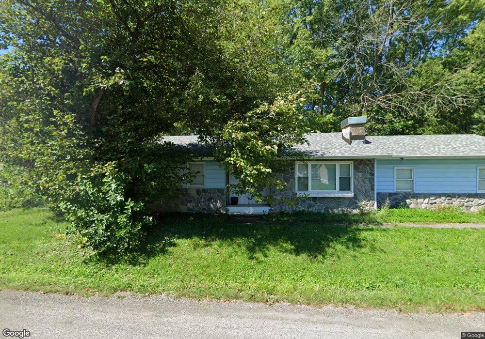
515 N 10th St Unit 1 Riverton, IL 62561
Estimated Value: $128,000 - $184,324
3
Beds
3
Baths
2,554
Sq Ft
$58/Sq Ft
Est. Value
About This Home
This home is located at 515 N 10th St Unit 1, Riverton, IL 62561 and is currently estimated at $148,081, approximately $57 per square foot. 515 N 10th St Unit 1 is a home located in Sangamon County with nearby schools including Riverton Middle School and Riverton High School.
Ownership History
Date
Name
Owned For
Owner Type
Purchase Details
Closed on
Apr 23, 2020
Sold by
Burcham Jamie A
Bought by
Sheppard Traci R and Sheppard Steve
Current Estimated Value
Home Financials for this Owner
Home Financials are based on the most recent Mortgage that was taken out on this home.
Original Mortgage
$55,200
Interest Rate
5.5%
Mortgage Type
New Conventional
Purchase Details
Closed on
Dec 27, 2011
Purchase Details
Closed on
Jul 19, 2011
Purchase Details
Closed on
Sep 30, 2009
Purchase Details
Closed on
Oct 2, 2008
Purchase Details
Closed on
Sep 18, 2007
Purchase Details
Closed on
May 22, 1996
Purchase Details
Closed on
Mar 7, 1996
Create a Home Valuation Report for This Property
The Home Valuation Report is an in-depth analysis detailing your home's value as well as a comparison with similar homes in the area
Home Values in the Area
Average Home Value in this Area
Purchase History
| Date | Buyer | Sale Price | Title Company |
|---|---|---|---|
| Sheppard Traci R | $69,000 | Prairie Land Title | |
| -- | $65,000 | -- | |
| -- | -- | -- | |
| -- | -- | -- | |
| -- | -- | -- | |
| -- | -- | -- | |
| -- | $89,900 | -- | |
| -- | $80,000 | -- |
Source: Public Records
Mortgage History
| Date | Status | Borrower | Loan Amount |
|---|---|---|---|
| Closed | Sheppard Traci R | $55,200 |
Source: Public Records
Tax History Compared to Growth
Tax History
| Year | Tax Paid | Tax Assessment Tax Assessment Total Assessment is a certain percentage of the fair market value that is determined by local assessors to be the total taxable value of land and additions on the property. | Land | Improvement |
|---|---|---|---|---|
| 2024 | $1,831 | $27,247 | $8,074 | $19,173 |
| 2023 | $1,707 | $25,203 | $7,468 | $17,735 |
| 2022 | $1,698 | $23,458 | $6,951 | $16,507 |
| 2021 | $1,652 | $22,478 | $6,661 | $15,817 |
| 2020 | $2,585 | $41,770 | $6,618 | $35,152 |
| 2019 | $2,514 | $41,583 | $6,588 | $34,995 |
| 2018 | $2,412 | $40,812 | $6,466 | $34,346 |
| 2017 | $2,347 | $39,689 | $6,288 | $33,401 |
| 2016 | $2,280 | $38,470 | $6,095 | $32,375 |
| 2015 | $2,230 | $37,404 | $5,926 | $31,478 |
| 2014 | $2,173 | $36,818 | $5,833 | $30,985 |
| 2013 | $2,167 | $37,164 | $5,888 | $31,276 |
Source: Public Records
Map
Nearby Homes
- 1000 E Washington St Unit 1
- 984 E Washington St Unit 1
- 0 E Lincoln St
- 205 S 8th St Unit 1
- 500 E Jefferson St
- 232 S 8th St Unit 1
- 14 Spring St
- 5324 River View Rd Unit 1
- 22 Mary Ln Unit 1
- 5915 County Rd 1a N
- 2675 Overpass Rd
- 2428 Normal Dr
- 3909 Mccormick Dr
- 2405 Grom Dr
- 108 Delta Dawn Unit BV108
- 56 Castings Rd Unit BV56
- 9320 Dawson Ln
- 9 Acadia Ct Unit 1
- 3617 N Grand Ave E Unit 244
- 3617 N Grand Ave E Unit 126
- 942 E Kinzie St Unit 1
- 940 E Kinzie St Unit 1
- 513 N 10th St
- 512 N 10th St
- 1000 E Kinzie St
- 900 E Kinzie St
- 1000 E Kinzie St Unit 1
- 900 E Kinzie St
- 900 E Kinzie St Unit 83
- 947 E Madison St
- 500 N 10th St
- 932 E Kinzie St
- 945 E Madison St Unit 1
- 937 E Madison St
- 930 E Kinzie St
- 928 E Kinzie St Unit 1
- 935 E Madison St Unit 1
- 948 E Madison St
- 407 N 10th St Unit 1
- 925 E Madison St Unit 1