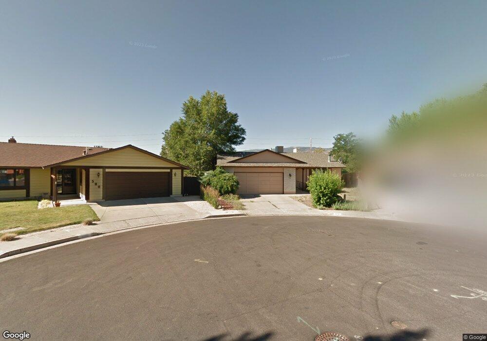
515 Peter Cir Reno, NV 89503
Kings Row NeighborhoodEstimated Value: $458,000 - $516,000
3
Beds
2
Baths
1,756
Sq Ft
$278/Sq Ft
Est. Value
About This Home
This home is located at 515 Peter Cir, Reno, NV 89503 and is currently estimated at $488,700, approximately $278 per square foot. 515 Peter Cir is a home located in Washoe County with nearby schools including Elmcrest Elementary School, Archie Clayton Pre-AP Academy, and Reno High School.
Ownership History
Date
Name
Owned For
Owner Type
Purchase Details
Closed on
Aug 21, 2008
Sold by
Bank Of America Nevada
Bought by
Delongchamps Matthew E and Delongchamps Jennifer J
Current Estimated Value
Home Financials for this Owner
Home Financials are based on the most recent Mortgage that was taken out on this home.
Original Mortgage
$221,578
Outstanding Balance
$143,776
Interest Rate
6.27%
Mortgage Type
VA
Estimated Equity
$344,924
Purchase Details
Closed on
Aug 22, 1995
Sold by
Bank Of America Nevada
Bought by
Bank Of America Nevada
Create a Home Valuation Report for This Property
The Home Valuation Report is an in-depth analysis detailing your home's value as well as a comparison with similar homes in the area
Home Values in the Area
Average Home Value in this Area
Purchase History
| Date | Buyer | Sale Price | Title Company |
|---|---|---|---|
| Delongchamps Matthew E | $214,500 | First Centennial Reno | |
| Bank Of America Nevada | -- | -- |
Source: Public Records
Mortgage History
| Date | Status | Borrower | Loan Amount |
|---|---|---|---|
| Open | Delongchamps Matthew E | $221,578 |
Source: Public Records
Tax History
| Year | Tax Paid | Tax Assessment Tax Assessment Total Assessment is a certain percentage of the fair market value that is determined by local assessors to be the total taxable value of land and additions on the property. | Land | Improvement |
|---|---|---|---|---|
| 2026 | $1,206 | $61,826 | $34,242 | $27,584 |
| 2024 | $1,567 | $60,745 | $33,737 | $27,009 |
| 2023 | $1,522 | $61,795 | $35,280 | $26,515 |
| 2022 | $1,478 | $51,253 | $28,350 | $22,903 |
| 2021 | $1,436 | $42,544 | $19,121 | $23,423 |
| 2020 | $1,392 | $42,447 | $17,987 | $24,460 |
| 2019 | $2,386 | $42,618 | $18,270 | $24,348 |
| 2018 | $1,312 | $37,461 | $13,010 | $24,451 |
| 2017 | $1,274 | $36,686 | $11,624 | $25,062 |
| 2016 | $1,880 | $36,314 | $10,206 | $26,108 |
| 2015 | $1,712 | $35,345 | $8,663 | $26,682 |
| 2014 | $1,203 | $33,954 | $7,718 | $26,236 |
| 2013 | -- | $31,810 | $5,513 | $26,297 |
Source: Public Records
Map
Nearby Homes
- 1801 Carlin St
- 2071 W 4th St Unit 42
- 2091 W 4th St
- 505 Northstar Dr
- 880 Ruby Ave
- 1840 Windsor Way
- 2300 Dickerson Rd Unit 16
- 2720 Judith Ln
- 1510 Majestic Dr Unit one
- 820 Wyoming Ave
- 2601 Powder Dr
- 2562 River Hatchling Ln
- 4232 Fawnridge Place
- 1340 Jones St
- 4128 Scenic Dr
- 176 Rissone Ln
- 166 Rissone Ln
- 745 Akard Dr
- 160 Rissone Ln
- 160 Rissone Ln Unit LOT 32
Your Personal Tour Guide
Ask me questions while you tour the home.