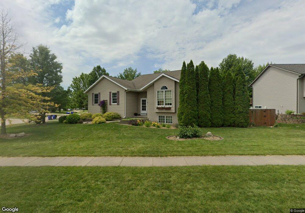
515 Pinehurst Ln North Liberty, IA 52317
Estimated Value: $326,000 - $370,000
4
Beds
4
Baths
1,288
Sq Ft
$273/Sq Ft
Est. Value
About This Home
This home is located at 515 Pinehurst Ln, North Liberty, IA 52317 and is currently estimated at $351,554, approximately $272 per square foot. 515 Pinehurst Ln is a home located in Johnson County with nearby schools including James Van Allen Elementary School, North Central Junior High School, and Liberty High School.
Ownership History
Date
Name
Owned For
Owner Type
Purchase Details
Closed on
Apr 29, 2013
Sold by
Ditch Timothy J and Ditch Kristina D
Bought by
Rees Kimberly A and Rees Timothy R
Current Estimated Value
Home Financials for this Owner
Home Financials are based on the most recent Mortgage that was taken out on this home.
Original Mortgage
$22,300
Outstanding Balance
$4,721
Interest Rate
3.51%
Mortgage Type
Stand Alone Second
Estimated Equity
$346,833
Create a Home Valuation Report for This Property
The Home Valuation Report is an in-depth analysis detailing your home's value as well as a comparison with similar homes in the area
Home Values in the Area
Average Home Value in this Area
Purchase History
| Date | Buyer | Sale Price | Title Company |
|---|---|---|---|
| Rees Kimberly A | $223,000 | None Available |
Source: Public Records
Mortgage History
| Date | Status | Borrower | Loan Amount |
|---|---|---|---|
| Open | Rees Kimberly A | $22,300 |
Source: Public Records
Tax History Compared to Growth
Tax History
| Year | Tax Paid | Tax Assessment Tax Assessment Total Assessment is a certain percentage of the fair market value that is determined by local assessors to be the total taxable value of land and additions on the property. | Land | Improvement |
|---|---|---|---|---|
| 2025 | $5,468 | $352,700 | $73,400 | $279,300 |
| 2024 | $5,346 | $328,200 | $73,400 | $254,800 |
| 2023 | $5,012 | $328,200 | $73,400 | $254,800 |
| 2022 | $4,750 | $267,200 | $41,300 | $225,900 |
| 2021 | $4,594 | $267,200 | $41,300 | $225,900 |
| 2020 | $4,594 | $246,700 | $41,300 | $205,400 |
| 2019 | $4,394 | $246,700 | $41,300 | $205,400 |
| 2018 | $4,308 | $236,400 | $41,300 | $195,100 |
| 2017 | $3,896 | $236,400 | $41,300 | $195,100 |
| 2016 | $3,790 | $213,600 | $41,300 | $172,300 |
| 2015 | $3,790 | $213,600 | $41,300 | $172,300 |
| 2014 | $3,668 | $188,000 | $45,900 | $142,100 |
Source: Public Records
Map
Nearby Homes
- 120 Shannon Dr Unit 4
- 1105 Franklin Dr
- 820 Club House Rd Unit 4E
- 1500 Harvest St
- 455 Heritage Place
- 445 Heritage Place
- 1315 Franklin St
- 425 Heritage Place
- 160 Elm Ridge Ct
- 415 Heritage Place Unit 417
- 835 Prairie St
- 115 N Colton Dr
- 142 Elm Ridge Dr
- 144 Elm Ridge Dr
- 420 W Zeller St
- 805 Blue Sky Dr Unit 301
- 855 Blue Sky Dr Unit 304
- 285 Autumn Ct
- 270 N Mckenzie Ln
- 70 Heidi Ln
- 960 Fairview Ln
- 964 Fairview Ln
- 835 Kiowa Dr
- 546 Pinehurst Ln
- 526 Pinehurst Ln
- 810 Kiowa Dr
- 978 Fairview Ln
- 820 Kiowa Dr
- 940 Fairview Ln
- 506 Pinehurst Ln
- 845 Kiowa Dr
- 830 Kiowa Dr
- 982 Fairview Ln
- 498 Pinehurst Ln
- 645 Sugar Creek Ln
- 665 Sugar Creek Ln
- 965 Fairview Ln
- 15 Pinehurst Ct
- 545 Sugar Creek Ln
- 25 Pinehurst Ct