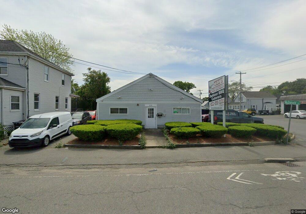
515 Sprague St Dedham, MA 02026
The Manor NeighborhoodEstimated Value: $871,667
Studio
1
Bath
1,000
Sq Ft
$872/Sq Ft
Est. Value
About This Home
This home is located at 515 Sprague St, Dedham, MA 02026 and is currently estimated at $871,667, approximately $871 per square foot. 515 Sprague St is a home located in Norfolk County with nearby schools including Greenlodge Elementary School, Dedham Middle School, and Dedham High School.
Ownership History
Date
Name
Owned For
Owner Type
Purchase Details
Closed on
Mar 30, 2007
Sold by
Sprague Street 515 Rt and Stadelmann Amy
Bought by
John L Hall Realty Llc
Current Estimated Value
Home Financials for this Owner
Home Financials are based on the most recent Mortgage that was taken out on this home.
Original Mortgage
$333,750
Outstanding Balance
$203,784
Interest Rate
6.33%
Mortgage Type
Commercial
Estimated Equity
$667,883
Create a Home Valuation Report for This Property
The Home Valuation Report is an in-depth analysis detailing your home's value as well as a comparison with similar homes in the area
Home Values in the Area
Average Home Value in this Area
Purchase History
| Date | Buyer | Sale Price | Title Company |
|---|---|---|---|
| John L Hall Realty Llc | $445,000 | -- |
Source: Public Records
Mortgage History
| Date | Status | Borrower | Loan Amount |
|---|---|---|---|
| Open | John L Hall Realty Llc | $333,750 |
Source: Public Records
Tax History
| Year | Tax Paid | Tax Assessment Tax Assessment Total Assessment is a certain percentage of the fair market value that is determined by local assessors to be the total taxable value of land and additions on the property. | Land | Improvement |
|---|---|---|---|---|
| 2025 | $14,224 | $542,900 | $298,900 | $244,000 |
| 2024 | $13,372 | $516,700 | $284,600 | $232,100 |
| 2023 | $12,962 | $488,200 | $256,100 | $232,100 |
| 2022 | $13,080 | $468,300 | $236,200 | $232,100 |
| 2021 | $12,860 | $445,600 | $213,500 | $232,100 |
| 2020 | $11,776 | $410,300 | $191,900 | $218,400 |
| 2019 | $12,223 | $410,300 | $191,900 | $218,400 |
| 2018 | $12,588 | $410,300 | $191,900 | $218,400 |
| 2017 | $12,742 | $406,300 | $187,900 | $218,400 |
| 2016 | $12,851 | $389,200 | $170,800 | $218,400 |
| 2015 | $12,792 | $376,800 | $170,800 | $206,000 |
| 2014 | $13,082 | $376,800 | $170,800 | $206,000 |
Source: Public Records
Map
Nearby Homes
- 36 Lancaster Rd
- 51 Lancaster Rd
- 2 Leominster Rd
- 397 Sprague St
- 88 Durham Rd
- 391 Sprague St
- 24 Prescott St Unit 3
- 44 Holmes Rd
- 13 W Milton Place
- 45 Como Rd
- 51 Como Rd
- 15 Yuill Cir Unit 2
- 15 Yuill Cir Unit 1
- 000 Danny Rd
- 241 Neponset Valley Pkwy Unit 241
- 71 Vallaro Rd
- 12 Norton St
- 1892 River St
- 1864 River St
- 1896 River St
- 21 Lakeside Ave
- 519 Sprague St
- 22 Lakeside Ave Unit 2
- 16 McDonald St
- 13 McDonald St
- 9 Lakeside Ave
- 511 Sprague St
- 377 Sprague St
- 18 Lakeside Ave
- 102 Sprague St
- 18 McDonald St
- 17 McDonald St
- 11 Kunkel Place
- 11 Kunkel Place Unit 2
- 16 Lakeside Ave
- 98 Sprague St
- 497 Sprague St
- 21 McDonald St
- 28 McDonald St
- 96 Sprague St
Your Personal Tour Guide
Ask me questions while you tour the home.