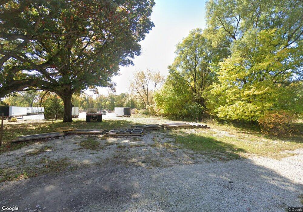
515 Spring St Streator, IL 61364
Estimated Value: $47,000 - $81,000
--
Bed
--
Bath
888
Sq Ft
$74/Sq Ft
Est. Value
About This Home
This home is located at 515 Spring St, Streator, IL 61364 and is currently estimated at $65,667, approximately $73 per square foot. 515 Spring St is a home located in LaSalle County with nearby schools including Kimes Elementary School, Northlawn Junior High School, and Streator Township High School.
Ownership History
Date
Name
Owned For
Owner Type
Purchase Details
Closed on
Jul 1, 2021
Sold by
Merdith Martin A
Bought by
Usa Pallet & Warehousing Inc
Current Estimated Value
Home Financials for this Owner
Home Financials are based on the most recent Mortgage that was taken out on this home.
Original Mortgage
$345,000
Outstanding Balance
$313,034
Interest Rate
2.9%
Mortgage Type
Seller Take Back
Estimated Equity
-$247,367
Purchase Details
Closed on
Oct 4, 2019
Sold by
Granados Linda P
Bought by
Meredith Martin A
Create a Home Valuation Report for This Property
The Home Valuation Report is an in-depth analysis detailing your home's value as well as a comparison with similar homes in the area
Home Values in the Area
Average Home Value in this Area
Purchase History
| Date | Buyer | Sale Price | Title Company |
|---|---|---|---|
| Usa Pallet & Warehousing Inc | $350,000 | None Available | |
| Meredith Martin A | $2,000 | None Available |
Source: Public Records
Mortgage History
| Date | Status | Borrower | Loan Amount |
|---|---|---|---|
| Open | Usa Pallet & Warehousing Inc | $345,000 |
Source: Public Records
Tax History Compared to Growth
Tax History
| Year | Tax Paid | Tax Assessment Tax Assessment Total Assessment is a certain percentage of the fair market value that is determined by local assessors to be the total taxable value of land and additions on the property. | Land | Improvement |
|---|---|---|---|---|
| 2024 | $295 | $2,762 | $2,762 | $0 |
| 2023 | $273 | $2,372 | $2,372 | $0 |
| 2022 | $250 | $2,072 | $2,072 | $0 |
| 2021 | $239 | $1,955 | $1,955 | $0 |
| 2020 | $231 | $1,893 | $1,893 | $0 |
| 2019 | $220 | $1,773 | $1,773 | $0 |
| 2018 | $221 | $1,690 | $1,690 | $0 |
| 2017 | $217 | $1,681 | $1,681 | $0 |
| 2016 | $222 | $1,805 | $1,805 | $0 |
| 2015 | -- | $1,777 | $1,777 | $0 |
| 2012 | -- | $11,004 | $2,043 | $8,961 |
Source: Public Records
Map
Nearby Homes
- 701 Lundy St
- 708 Lundy St
- 804 Lundy St
- 709 E Livingston St
- 312 S Everett St
- 717 S Monroe St
- 705 E Wilson St
- 801 S Monroe St
- 709 S Park St
- 312 S Monroe St
- 218 S Vermillion St
- 804 E Wilson St
- 511 S Bloomington St
- 124 S Everett St
- 408 Powell St
- 211 S Bloomington St
- 1007 E Bridge St
- 116 Lasalle St
- 1012 Cable St
- 1012 E Wilson St
- 519 Spring St
- 516 Spring St
- 510 Spring St
- 514 Spring St
- 512 Spring St
- 508 Spring St
- 601 S Sterling St
- 603 S Sterling St
- 513 S Sterling St
- 607 S Sterling St
- 513 Lundy St
- 513 Lundy St
- 511 Lundy St
- 511 S Sterling St
- 507 Lundy St
- 509 Lundy St
- 503 1/2 S Sterling St
- 0000 S Everett St
- 505 Lundy St
- 514 S Sterling St