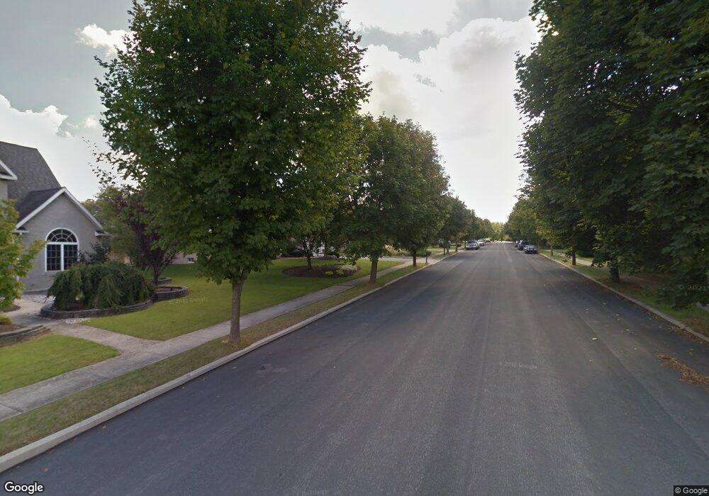
5150 Jarrett Farm Rd Macungie, PA 18062
Lower Macungie Township East NeighborhoodEstimated Value: $502,000 - $664,000
3
Beds
4
Baths
2,603
Sq Ft
$224/Sq Ft
Est. Value
About This Home
This home is located at 5150 Jarrett Farm Rd, Macungie, PA 18062 and is currently estimated at $584,010, approximately $224 per square foot. 5150 Jarrett Farm Rd is a home located in Lehigh County with nearby schools including Macungie Elementary School, Eyer Middle School, and Emmaus High School.
Ownership History
Date
Name
Owned For
Owner Type
Purchase Details
Closed on
May 25, 2001
Sold by
Reed Benjamin D and Reed June E
Bought by
Suleman Shabir and Sulman Fatima
Current Estimated Value
Purchase Details
Closed on
Oct 29, 1981
Bought by
Lehrich Ira
Create a Home Valuation Report for This Property
The Home Valuation Report is an in-depth analysis detailing your home's value as well as a comparison with similar homes in the area
Home Values in the Area
Average Home Value in this Area
Purchase History
| Date | Buyer | Sale Price | Title Company |
|---|---|---|---|
| Suleman Shabir | $235,000 | -- | |
| Lehrich Ira | $100,000 | -- |
Source: Public Records
Tax History Compared to Growth
Tax History
| Year | Tax Paid | Tax Assessment Tax Assessment Total Assessment is a certain percentage of the fair market value that is determined by local assessors to be the total taxable value of land and additions on the property. | Land | Improvement |
|---|---|---|---|---|
| 2025 | $7,113 | $278,600 | $38,000 | $240,600 |
| 2024 | $6,881 | $278,600 | $38,000 | $240,600 |
| 2023 | $6,744 | $278,600 | $38,000 | $240,600 |
| 2022 | $6,584 | $278,600 | $240,600 | $38,000 |
| 2021 | $6,444 | $278,600 | $38,000 | $240,600 |
| 2020 | $6,383 | $278,600 | $38,000 | $240,600 |
| 2019 | $6,274 | $278,600 | $38,000 | $240,600 |
| 2018 | $6,192 | $278,600 | $38,000 | $240,600 |
| 2017 | $6,084 | $278,600 | $38,000 | $240,600 |
| 2016 | -- | $278,600 | $38,000 | $240,600 |
| 2015 | -- | $278,600 | $38,000 | $240,600 |
| 2014 | -- | $278,600 | $38,000 | $240,600 |
Source: Public Records
Map
Nearby Homes
- 5257 Brunswick Ln
- 5288 Brocton Ct
- 5357 Bradford Ln Unit 173
- 4804 Parkview Dr S
- 2691 Terrwood Dr W Unit 176
- 2969 Aronimink Place
- 2992 Aronimink Place
- 5192 Spring Ridge Dr E
- 4490 Canterbury Dr
- 3721 Samantha Ln
- 3721 Samantha Ln Unit 76
- 3045 Sheffield Dr
- 5640 Merion Ln
- 3149 Sheffield Dr
- 2834 Sheffield Dr
- 5706 Whitemarsh Dr
- 2878 Whitemarsh Place
- 5691 Merion Ln
- 5289 Princeton Rd
- 2560 Gracie Lone
- 5154 Jarrett Farm Rd
- 5146 Jarrett Farm Rd
- 3270 MacUngie Rd
- 3296 MacUngie Rd
- 5142 Jarrett Farm Rd
- 5160 Jarrett Farm Rd
- 3175 Watermill Dr
- 3247 Watermill Dr
- 3263 Watermill Dr
- 3231 Watermill Dr
- 3157 Watermill Dr
- 3211 Watermill Dr
- 3279 Watermill Dr
- 5166 Jarrett Farm Rd
- 3324 MacUngie Rd
- 3295 Watermill Dr
- 3291 MacUngie Rd
- 5116 Jarrett Farm Rd
- 3182 Watermill Dr
- 5170 Jarrett Farm Rd
