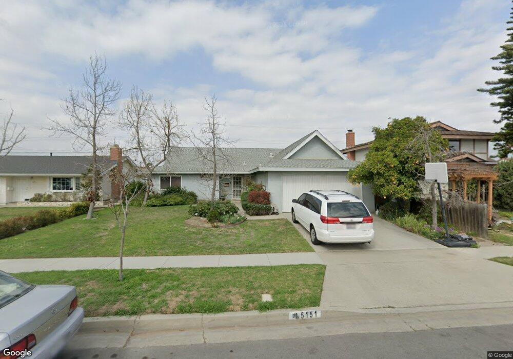
5151 Tripoli Ave Los Alamitos, CA 90720
Estimated Value: $1,020,008 - $1,176,000
3
Beds
2
Baths
1,225
Sq Ft
$923/Sq Ft
Est. Value
About This Home
This home is located at 5151 Tripoli Ave, Los Alamitos, CA 90720 and is currently estimated at $1,131,002, approximately $923 per square foot. 5151 Tripoli Ave is a home located in Orange County with nearby schools including Los Alamitos Elementary School, Jack L. Weaver Elementary School, and Sharon Christa Mcauliffe Middle School.
Ownership History
Date
Name
Owned For
Owner Type
Purchase Details
Closed on
Dec 17, 1998
Sold by
Paul Kubiatko and Paul June E
Bought by
Kubiatko Paul and Gee June E
Current Estimated Value
Home Financials for this Owner
Home Financials are based on the most recent Mortgage that was taken out on this home.
Original Mortgage
$176,000
Interest Rate
6.73%
Create a Home Valuation Report for This Property
The Home Valuation Report is an in-depth analysis detailing your home's value as well as a comparison with similar homes in the area
Home Values in the Area
Average Home Value in this Area
Purchase History
| Date | Buyer | Sale Price | Title Company |
|---|---|---|---|
| Kubiatko Paul | -- | Southland Title Corporation |
Source: Public Records
Mortgage History
| Date | Status | Borrower | Loan Amount |
|---|---|---|---|
| Closed | Kubiatko Paul | $176,000 |
Source: Public Records
Tax History
| Year | Tax Paid | Tax Assessment Tax Assessment Total Assessment is a certain percentage of the fair market value that is determined by local assessors to be the total taxable value of land and additions on the property. | Land | Improvement |
|---|---|---|---|---|
| 2025 | $4,901 | $399,990 | $304,767 | $95,223 |
| 2024 | $4,901 | $392,148 | $298,792 | $93,356 |
| 2023 | $4,783 | $384,459 | $292,933 | $91,526 |
| 2022 | $4,753 | $376,921 | $287,189 | $89,732 |
| 2021 | $4,648 | $369,531 | $281,558 | $87,973 |
| 2020 | $4,655 | $365,742 | $278,671 | $87,071 |
| 2019 | $4,491 | $358,571 | $273,207 | $85,364 |
| 2018 | $4,277 | $351,541 | $267,850 | $83,691 |
| 2017 | $4,185 | $344,649 | $262,599 | $82,050 |
| 2016 | $4,102 | $337,892 | $257,450 | $80,442 |
| 2015 | $4,051 | $332,817 | $253,583 | $79,234 |
| 2014 | $3,910 | $326,298 | $248,616 | $77,682 |
Source: Public Records
Map
Nearby Homes
- 11091 Ranger Dr
- 10947 Carrillo Ct
- 4461 Farquhar Ave
- 4412 Green Ave
- 10446 Julie Beth Cir
- 5971 Paradise Cir
- 10441 Rexford Dr
- 10292 Ethel St
- 5865 Rexford Ave
- 6056 Palau St
- 6022 Santa Barbara Ave
- 6051 Santa Barbara Ave
- 6347 Sombrero Ave
- 5732 Belgrave Ave
- 11665 Mindanao St
- 10410 Hester Ave
- 10403 Stratton Ct
- 3878 Howard Ave Unit 8
- 10232 Hialeah Dr
- 3845 Farquhar Ave Unit 110
- 5161 Tripoli Ave
- 5131 Tripoli Ave
- 5152 Kearsarge Ave
- 5162 Kearsarge Ave
- 5132 Kearsarge Ave
- 5171 Tripoli Ave
- 5121 Tripoli Ave
- 5122 Kearsarge Ave
- 5172 Kearsarge Ave
- 5152 Tripoli Ave
- 5162 Tripoli Ave
- 5132 Tripoli Ave
- 5181 Tripoli Ave
- 5111 Tripoli Ave
- 5172 Tripoli Ave
- 5122 Tripoli Ave
- 5182 Kearsarge Ave
- 5112 Kearsarge Ave
- 5112 Tripoli Ave
- 5182 Tripoli Ave