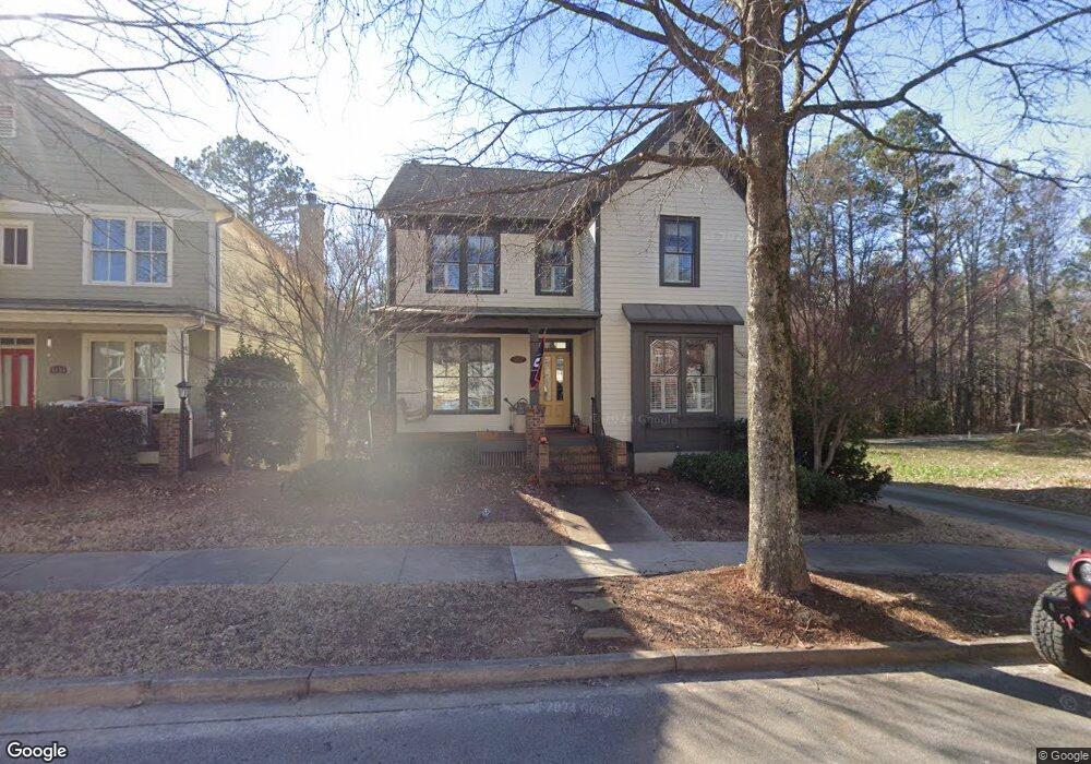
5152 Pratt St SW Unit 1 Covington, GA 30014
Estimated Value: $388,965 - $536,000
--
Bed
2
Baths
2,227
Sq Ft
$207/Sq Ft
Est. Value
About This Home
This home is located at 5152 Pratt St SW Unit 1, Covington, GA 30014 and is currently estimated at $460,741, approximately $206 per square foot. 5152 Pratt St SW Unit 1 is a home located in Newton County with nearby schools including Porterdale Elementary School, Clements Middle School, and Newton High School.
Ownership History
Date
Name
Owned For
Owner Type
Purchase Details
Closed on
Jun 1, 2007
Sold by
Richport Props Inc
Bought by
Moss Samuel L and Moss Karen Y
Current Estimated Value
Home Financials for this Owner
Home Financials are based on the most recent Mortgage that was taken out on this home.
Original Mortgage
$212,000
Outstanding Balance
$129,511
Interest Rate
6.16%
Mortgage Type
New Conventional
Estimated Equity
$331,230
Purchase Details
Closed on
Mar 17, 2006
Sold by
Clarks Grove Llc
Bought by
Richport Props Inc
Create a Home Valuation Report for This Property
The Home Valuation Report is an in-depth analysis detailing your home's value as well as a comparison with similar homes in the area
Home Values in the Area
Average Home Value in this Area
Purchase History
| Date | Buyer | Sale Price | Title Company |
|---|---|---|---|
| Moss Samuel L | $265,000 | -- | |
| Richport Props Inc | $97,000 | -- |
Source: Public Records
Mortgage History
| Date | Status | Borrower | Loan Amount |
|---|---|---|---|
| Open | Moss Samuel L | $212,000 |
Source: Public Records
Tax History Compared to Growth
Tax History
| Year | Tax Paid | Tax Assessment Tax Assessment Total Assessment is a certain percentage of the fair market value that is determined by local assessors to be the total taxable value of land and additions on the property. | Land | Improvement |
|---|---|---|---|---|
| 2024 | $4,707 | $161,040 | $27,200 | $133,840 |
| 2023 | $4,855 | $149,400 | $19,600 | $129,800 |
| 2022 | $4,733 | $130,320 | $19,600 | $110,720 |
| 2021 | $4,413 | $121,520 | $15,200 | $106,320 |
| 2020 | $4,145 | $103,920 | $15,200 | $88,720 |
| 2019 | $4,164 | $102,480 | $15,200 | $87,280 |
| 2018 | $4,050 | $98,560 | $16,400 | $82,160 |
| 2017 | $3,912 | $95,200 | $16,400 | $78,800 |
| 2016 | $3,902 | $94,960 | $12,000 | $82,960 |
| 2015 | $3,413 | $82,960 | $12,000 | $70,960 |
| 2014 | $3,412 | $82,960 | $0 | $0 |
Source: Public Records
Map
Nearby Homes
- 5168 Pratt St SW
- 5125 Swann St SW
- 5102 Park St SW
- 5135 Arnold St
- 4105 Washington St SW
- 163 Kingfisher Walk
- 3107 Hendrix Cir SW
- 0 S Highway 81 Unit 10621341
- 12109 Brown Bridge Rd
- 12103 Brown Bridge Rd
- 7205 Lakeview Dr SW
- 5103 Berry St NW
- 2220 Lee St SW
- 2222 Lee St SW
- 13709 Whitman Ln
- 3132 Lunsford Cir SW
- 0 Old Covered Bridge Rd Unit 10618938
- 9250 Scarlett Dr SW
- 5156 Pratt St SW Unit 32
- 5156 Pratt St SW
- 0 Pratt St SW Unit 8838510
- 0 Pratt St SW Unit 7581540
- 0 Pratt St SW Unit 8052445
- 0 Pratt St SW Unit 8200340
- 5146 Pratt St SW Unit 49
- 5142 Pratt St SW
- 5142 Pratt St SW Unit 50
- 5126 Swann St SW
- 5164 Pratt St SW
- 5153 Pratt St SW Unit 91
- 5153 Pratt St SW
- 5157 Pratt St SW Unit 90
- 5157 Pratt St SW
- 5122 Swann St SW
- 5145 Pratt St SW Unit 48
- 5145 Pratt St SW
- 5168 Pratt St SW Unit 29
- 5134 Pratt St SW Unit 52