5153 State Highway 17 Alamosa, CO 81101
Estimated Value: $303,000 - $356,000
3
Beds
2
Baths
1,741
Sq Ft
$194/Sq Ft
Est. Value
About This Home
This home is located at 5153 State Highway 17, Alamosa, CO 81101 and is currently estimated at $338,333, approximately $194 per square foot. 5153 State Highway 17 is a home located in Alamosa County with nearby schools including Alamosa Elementary School, Ortega Middle School, and Alamosa High School.
Ownership History
Date
Name
Owned For
Owner Type
Purchase Details
Closed on
Aug 16, 2012
Sold by
Alamosa Police Department Money Pusrchas
Bought by
Martinez Matthew F and Martinez Amanda W
Current Estimated Value
Home Financials for this Owner
Home Financials are based on the most recent Mortgage that was taken out on this home.
Original Mortgage
$133,536
Outstanding Balance
$97,061
Interest Rate
4.75%
Mortgage Type
FHA
Estimated Equity
$241,272
Purchase Details
Closed on
Mar 20, 1995
Bought by
Apd Money Purchase Pension Trust Fund
Create a Home Valuation Report for This Property
The Home Valuation Report is an in-depth analysis detailing your home's value as well as a comparison with similar homes in the area
Home Values in the Area
Average Home Value in this Area
Purchase History
| Date | Buyer | Sale Price | Title Company |
|---|---|---|---|
| Martinez Matthew F | -- | None Available | |
| Apd Money Purchase Pension Trust Fund | $114,000 | -- |
Source: Public Records
Mortgage History
| Date | Status | Borrower | Loan Amount |
|---|---|---|---|
| Open | Martinez Matthew F | $133,536 |
Source: Public Records
Tax History Compared to Growth
Tax History
| Year | Tax Paid | Tax Assessment Tax Assessment Total Assessment is a certain percentage of the fair market value that is determined by local assessors to be the total taxable value of land and additions on the property. | Land | Improvement |
|---|---|---|---|---|
| 2024 | $842 | $15,279 | $672 | $14,607 |
| 2023 | $864 | $15,428 | $679 | $14,749 |
| 2022 | $897 | $11,852 | $601 | $11,251 |
| 2021 | $922 | $11,852 | $601 | $11,251 |
| 2020 | $806 | $11,852 | $601 | $11,251 |
| 2019 | $809 | $10,180 | $588 | $9,592 |
| 2018 | $792 | $9,790 | $592 | $9,198 |
| 2017 | $793 | $9,790 | $592 | $9,198 |
| 2016 | $851 | $10,555 | $655 | $9,900 |
| 2015 | $850 | $10,555 | $655 | $9,900 |
| 2014 | -- | $10,820 | $655 | $10,165 |
| 2013 | -- | $10,820 | $655 | $10,165 |
Source: Public Records
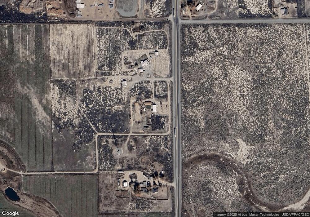
Map
Nearby Homes
- TBD County Road 6 S
- 0 McKinney White Pine Unit REC1813333
- 15 Sunnybrook Place Unit B
- 6755 Trinchera Ln
- 10 Sunnybrook Place
- TBD Oxbow Loop
- 6 Bellwood Dr
- 911 Duke Dr
- 6 Mountain View Place
- 00 E Us Highway 160
- 125 Lots Cottonwoods Phase II
- 0 Douglas Dr
- 735 First St
- 0 Mountain View Blvd Unit 23881373
- 80 El Rio Dr
- 631 2nd St
- 24 Alamosa Ave
- 808 Weber Dr
- 61 Conejos Ave
- 2611 Park Ave
- 5153 Colorado 17
- 5153 State Highway 17
- S Highway 17
- S Hwy 17
- 0 S Highway 17
- 0 Pioneer Way Unit 727521
- 9933 Pioneer Way
- 5315 State Highway 17
- 5319 State Highway 17
- 5341 S Road 5 45
- 5 MBVR County Road 5 S
- 4958 State Highway 17
- 4892 State Highway 17 Unit 25
- 4892 State Highway 17 Unit 18
- 4892 State Highway 17 Unit 23
- 4892 State Highway 17 Unit 20
- 4892 State Highway 17 Unit 14
- 4892 State Highway 17 Unit 19
- 4892 State Highway 17 Unit 16
- 4892 State Highway 17 Unit 4