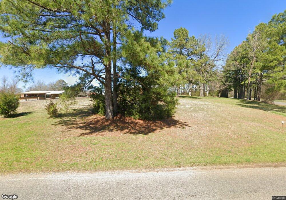
5156 Damascus Rd Walnut Grove, MS 39189
Estimated Value: $135,000 - $191,000
--
Bed
--
Bath
1,510
Sq Ft
$105/Sq Ft
Est. Value
About This Home
This home is located at 5156 Damascus Rd, Walnut Grove, MS 39189 and is currently estimated at $158,842, approximately $105 per square foot. 5156 Damascus Rd is a home located in Scott County.
Ownership History
Date
Name
Owned For
Owner Type
Purchase Details
Closed on
Feb 15, 2022
Sold by
Ogletree Daniel and Ogletree Lacey
Bought by
Sistrunk Nolen and Sistrunk Elaine Elaine
Current Estimated Value
Home Financials for this Owner
Home Financials are based on the most recent Mortgage that was taken out on this home.
Original Mortgage
$165,000
Outstanding Balance
$146,241
Interest Rate
0.37%
Mortgage Type
Construction
Estimated Equity
$12,601
Purchase Details
Closed on
Apr 16, 2021
Sold by
Ogletree and Lacey
Bought by
Cushman Dustin M
Home Financials for this Owner
Home Financials are based on the most recent Mortgage that was taken out on this home.
Original Mortgage
$26,945
Interest Rate
3%
Mortgage Type
Construction
Create a Home Valuation Report for This Property
The Home Valuation Report is an in-depth analysis detailing your home's value as well as a comparison with similar homes in the area
Home Values in the Area
Average Home Value in this Area
Purchase History
| Date | Buyer | Sale Price | Title Company |
|---|---|---|---|
| Sistrunk Nolen | $206,250 | Attorney Only | |
| Cushman Dustin M | $33,681 | Attorney Only |
Source: Public Records
Mortgage History
| Date | Status | Borrower | Loan Amount |
|---|---|---|---|
| Open | Sistrunk Nolen | $165,000 | |
| Previous Owner | Cushman Dustin M | $26,945 |
Source: Public Records
Tax History Compared to Growth
Tax History
| Year | Tax Paid | Tax Assessment Tax Assessment Total Assessment is a certain percentage of the fair market value that is determined by local assessors to be the total taxable value of land and additions on the property. | Land | Improvement |
|---|---|---|---|---|
| 2024 | $1,745 | $14,265 | $0 | $0 |
| 2023 | $1,694 | $14,265 | $0 | $0 |
| 2022 | $1,694 | $14,265 | $0 | $0 |
| 2021 | $1,631 | $13,736 | $0 | $0 |
| 2020 | $1,631 | $13,736 | $0 | $0 |
| 2019 | $1,631 | $13,736 | $0 | $0 |
| 2018 | $1,598 | $13,736 | $0 | $0 |
| 2017 | $1,440 | $12,373 | $0 | $0 |
| 2015 | $1,337 | $12,373 | $0 | $0 |
| 2014 | $1,322 | $12,373 | $0 | $0 |
Source: Public Records
Map
Nearby Homes
- 790 Clyde B Rd
- 786 Clyde B Rd
- - Morehead Rd
- Morehead Rd
- 11281 Mississippi 21
- 11281 Highway 21
- 0 Mississippi 492
- 126 Mac Rd
- 0 Highway 492 Unit 11412625
- 11041 Road 206
- 978 Mississippi 487
- 325 Reeves Ave
- 0 Highway 35 Unit 4126739
- 0 Pettey Rd
- -- Pettey Rd
- --- Pettey Rd
- - Pettey Rd
- 99 Burkes Cir
- 2971 Conehatta-Prospect Rd
- 0 Futch Rd
- 5136 Damascus Rd
- 5084 Damascus Rd
- 5332 Damascus Rd
- 5095 Damascus Rd
- 8 Crossroads Rd Unit 1
- 8 Crossroads Rd
- 316 Madi McDill Rd
- 328 Crossroads Rd
- 328 Crossroads Rd
- 0 Crossroads Rd Unit 1 1327489
- 320 Crossroads Rd
- 4889 Damascus Rd
- 322 Madi McDill Rd
- 15623 Highway 21
- 4925 Damascus Rd
- 328 Madi McDill Rd
- 4846 Damascus Rd
- 330 Madi McDill Rd
- 4861 Damascus Rd
- 15543 Highway 21
