516 Birch Point Rd West Bath, ME 04530
Estimated Value: $1,053,000 - $1,556,374
3
Beds
2
Baths
3,026
Sq Ft
$436/Sq Ft
Est. Value
About This Home
This home is located at 516 Birch Point Rd, West Bath, ME 04530 and is currently estimated at $1,319,094, approximately $435 per square foot. 516 Birch Point Rd is a home located in Sagadahoc County with nearby schools including Morse High School.
Ownership History
Date
Name
Owned For
Owner Type
Purchase Details
Closed on
Jul 23, 2010
Sold by
Redlon Richard O
Bought by
Broomhead Edmund M and Bromhead Susan R
Current Estimated Value
Purchase Details
Closed on
Jul 21, 2010
Sold by
Redlon Richard O
Bought by
Broomhead Edmund M and Broomhead Susan R
Create a Home Valuation Report for This Property
The Home Valuation Report is an in-depth analysis detailing your home's value as well as a comparison with similar homes in the area
Home Values in the Area
Average Home Value in this Area
Purchase History
| Date | Buyer | Sale Price | Title Company |
|---|---|---|---|
| Broomhead Edmund M | -- | -- | |
| Redlon Stephen A | -- | -- | |
| Broomhead Susan R | -- | -- | |
| Broomhead Edmund M | -- | -- | |
| Broomhead Edmund M | -- | -- | |
| Broomhead Edmund M | -- | -- | |
| Redlon Stephen A | -- | -- | |
| Broomhead Edmund M | -- | -- | |
| Broomhead Susan R | -- | -- |
Source: Public Records
Mortgage History
| Date | Status | Borrower | Loan Amount |
|---|---|---|---|
| Previous Owner | Broomhead Susan R | $354,000 | |
| Previous Owner | Broomhead Susan R | $240,000 |
Source: Public Records
Tax History Compared to Growth
Tax History
| Year | Tax Paid | Tax Assessment Tax Assessment Total Assessment is a certain percentage of the fair market value that is determined by local assessors to be the total taxable value of land and additions on the property. | Land | Improvement |
|---|---|---|---|---|
| 2024 | $11,359 | $1,385,300 | $1,005,600 | $379,700 |
| 2023 | $9,420 | $1,385,300 | $1,005,600 | $379,700 |
| 2022 | $8,098 | $756,800 | $477,000 | $279,800 |
| 2021 | $7,946 | $756,800 | $477,000 | $279,800 |
| 2020 | $7,946 | $756,800 | $477,000 | $279,800 |
| 2019 | $7,946 | $756,800 | $477,000 | $279,800 |
| 2018 | $8,400 | $756,800 | $477,000 | $279,800 |
| 2017 | $8,476 | $756,800 | $477,000 | $279,800 |
| 2016 | $7,719 | $756,800 | $477,000 | $279,800 |
| 2015 | $7,871 | $756,800 | $477,000 | $279,800 |
| 2014 | $7,719 | $756,800 | $477,000 | $279,800 |
| 2013 | $7,682 | $756,800 | $477,000 | $279,800 |
Source: Public Records
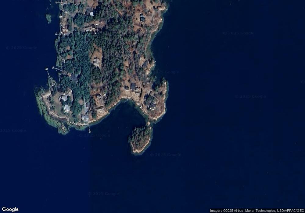
Map
Nearby Homes
- 93 Abbot Cove Rd
- 10 Birch Point Rd
- 25 Echo Ln
- 136 Bethel Point Rd
- 46 Dam Cove Rd
- 37 & 38 S Dyers Cove Rd
- 943 Cundys Harbor Rd
- 15 Church Ln
- 88 Campbell Pond Rd
- 550 Main Rd
- 242 Long Reach Ln
- 140 Clifford Rd
- 51 & 53 Rock Haven Dr
- 11 Orion Point Way
- 29 & 30 Nob Hill Ave
- 646 Gurnet Rd
- 197 Main Rd
- 0 Main Rd
- Lot #2 Rte 209 Main Rd
- 218 Sam Day Hill Rd
- 518 Birch Point Rd
- 514 Birch Point Rd
- 520 & 522 Birch Point Rd
- 522 Birch Point Rd
- 526 Birch Point Rd
- 5 Noble Ave
- 508 Birch Point Rd
- 544 Birch Point Rd
- 566 Birch Point Rd
- 7 Liza Ln
- 131 Loop Rd
- 455 Birch Point Rd
- 111 Loop Rd
- 580 Birch Point Rd
- 586 Birch Point Rd
- 117 Loop Rd
- 452 Birch Point Rd
- 30 Loop Rd
- 91 Loop Rd
- 54 Loop Rd