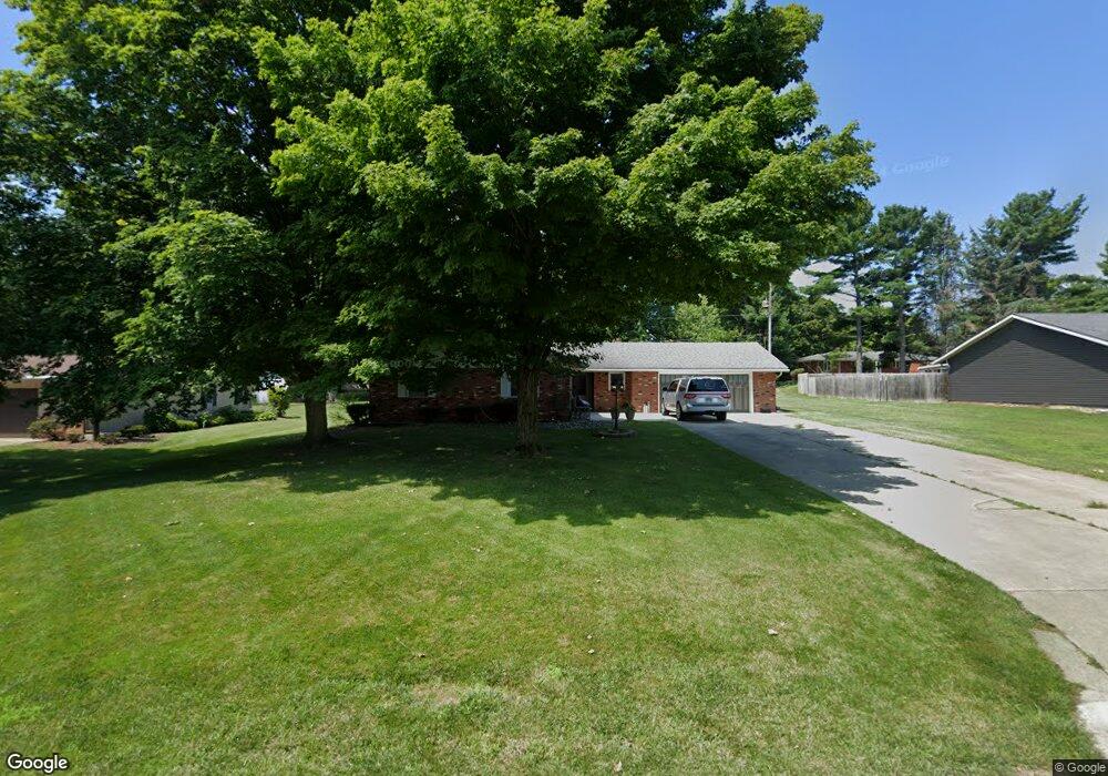
516 Linda Dr West Unity, OH 43570
Estimated Value: $166,633 - $192,000
3
Beds
2
Baths
1,548
Sq Ft
$118/Sq Ft
Est. Value
About This Home
This home is located at 516 Linda Dr, West Unity, OH 43570 and is currently estimated at $183,158, approximately $118 per square foot. 516 Linda Dr is a home located in Williams County with nearby schools including Hilltop Elementary School and Hilltop High School.
Ownership History
Date
Name
Owned For
Owner Type
Purchase Details
Closed on
Sep 12, 1995
Sold by
Randall Paul E And
Bought by
Trisel Jay A And
Current Estimated Value
Purchase Details
Closed on
Oct 14, 1994
Bought by
Randall Paul E And
Create a Home Valuation Report for This Property
The Home Valuation Report is an in-depth analysis detailing your home's value as well as a comparison with similar homes in the area
Home Values in the Area
Average Home Value in this Area
Purchase History
| Date | Buyer | Sale Price | Title Company |
|---|---|---|---|
| Trisel Jay A And | $71,500 | -- | |
| Randall Paul E And | -- | -- |
Source: Public Records
Tax History Compared to Growth
Tax History
| Year | Tax Paid | Tax Assessment Tax Assessment Total Assessment is a certain percentage of the fair market value that is determined by local assessors to be the total taxable value of land and additions on the property. | Land | Improvement |
|---|---|---|---|---|
| 2024 | $1,915 | $47,850 | $6,060 | $41,790 |
| 2023 | $1,915 | $39,240 | $6,060 | $33,180 |
| 2022 | $1,867 | $39,240 | $6,060 | $33,180 |
| 2021 | $1,867 | $39,240 | $6,060 | $33,180 |
| 2020 | $1,680 | $34,090 | $5,250 | $28,840 |
| 2019 | $1,654 | $34,090 | $5,250 | $28,840 |
| 2018 | $1,556 | $34,090 | $5,250 | $28,840 |
| 2017 | $1,510 | $30,840 | $5,010 | $25,830 |
| 2016 | $1,440 | $30,840 | $5,010 | $25,830 |
| 2015 | $1,642 | $30,840 | $5,010 | $25,830 |
| 2014 | $1,642 | $32,450 | $5,250 | $27,200 |
| 2013 | $1,621 | $32,450 | $5,250 | $27,200 |
Source: Public Records
Map
Nearby Homes
- 340 S Main St
- 000 W Jackson
- 205 Taylor Dr
- 311 W Rings St
- 22227 Us Highway 20a
- 16806 US Highway 20a
- 18 Cobblestone Rd
- 15664 County Road K
- 305 W Mulberry St
- 301 Horton St
- 3063 County Road 26-2
- 22018 County Road F
- 16228 County Road N-30
- 5065 County Road 20-50
- 0 County Road F
- 10628 Ohio 15
- 0 St Rt 15 Unit 10001011
- 24218 State Route 2
- 0 U S 20
- 0 County Road 18