516 Rimrock Dr Mount Vernon, OR 97865
Estimated Value: $352,000
--
Bed
--
Bath
1,344
Sq Ft
$262/Sq Ft
Est. Value
About This Home
This home is located at 516 Rimrock Dr, Mount Vernon, OR 97865 and is currently estimated at $352,000, approximately $261 per square foot. 516 Rimrock Dr is a home located in Grant County with nearby schools including Grant Union Junior/Senior High School.
Ownership History
Date
Name
Owned For
Owner Type
Purchase Details
Closed on
Jan 26, 2022
Sold by
Hensley Katie B and Thunell David M
Bought by
Hensley Katie B
Current Estimated Value
Home Financials for this Owner
Home Financials are based on the most recent Mortgage that was taken out on this home.
Original Mortgage
$180,000
Outstanding Balance
$167,164
Interest Rate
3.56%
Mortgage Type
New Conventional
Estimated Equity
$184,836
Purchase Details
Closed on
Sep 10, 2014
Sold by
Hughus Wana M
Bought by
Hughus Nathan E
Purchase Details
Closed on
May 30, 2008
Sold by
Freeman Chad C and Freeman Chad Christopher
Bought by
Stone Dana M and Hughes Nathan E
Home Financials for this Owner
Home Financials are based on the most recent Mortgage that was taken out on this home.
Original Mortgage
$228,415
Interest Rate
6.05%
Mortgage Type
FHA
Create a Home Valuation Report for This Property
The Home Valuation Report is an in-depth analysis detailing your home's value as well as a comparison with similar homes in the area
Home Values in the Area
Average Home Value in this Area
Purchase History
| Date | Buyer | Sale Price | Title Company |
|---|---|---|---|
| Hensley Katie B | -- | None Listed On Document | |
| Hughus Nathan E | -- | None Available | |
| Stone Dana M | $232,000 | None Available |
Source: Public Records
Mortgage History
| Date | Status | Borrower | Loan Amount |
|---|---|---|---|
| Open | Hensley Katie B | $180,000 | |
| Previous Owner | Stone Dana M | $228,415 |
Source: Public Records
Tax History Compared to Growth
Tax History
| Year | Tax Paid | Tax Assessment Tax Assessment Total Assessment is a certain percentage of the fair market value that is determined by local assessors to be the total taxable value of land and additions on the property. | Land | Improvement |
|---|---|---|---|---|
| 2024 | $2,314 | $158,641 | $30,779 | $127,862 |
| 2023 | $2,244 | $154,130 | $29,992 | $124,138 |
| 2022 | $2,182 | $149,732 | $29,209 | $120,523 |
| 2021 | $3,115 | $213,270 | $96,250 | $117,020 |
| 2020 | $3,274 | $207,059 | $93,450 | $113,609 |
| 2019 | $3,182 | $201,029 | $102,092 | $98,937 |
| 2018 | $3,092 | $24,115 | $24,115 | $0 |
| 2017 | $374 | $23,413 | $23,413 | $0 |
| 2016 | $363 | $22,732 | $22,732 | $0 |
| 2015 | $354 | $21,428 | $21,428 | $0 |
| 2014 | $354 | $21,428 | $21,428 | $0 |
| 2013 | $333 | $20,804 | $20,804 | $0 |
Source: Public Records
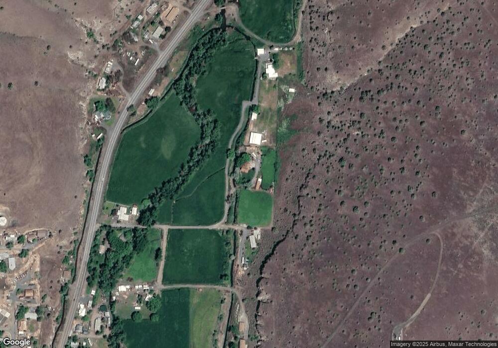
Map
Nearby Homes
- 440 N Mountain Blvd
- 410 N Mountain Blvd
- 210 Mountain Blvd
- 54797 U S Highway 26
- 251 SE Council Dr
- 809 Ingle St
- 55550 McKern Ln
- 54797 U S 26
- 59720 Highway 26
- 0 Hwy 395 Unit 220203788
- 0 Hwy 395 Unit 603386933
- 58392 Antelope Ln
- 59920 Highway 26
- 59920 Hwy 26
- 31367 Clarks Creek Rd
- 27637 La Costa Rd
- 27637 La Costa Ave
- 59591 High Ridge Ln
- 0 E Side Ln Unit 201102803
- 0 County Rd 74b Unit 11554207
- 516 Rim Rock Dr
- 0 U S 395
- 615 N Mountain Blvd
- 512 Rimrock Ln
- 633 N Mountain Blvd
- 711 N Mountain Blvd
- 512 Rimrock Dr
- 512 Rim Rock Ln
- 463 N Mountain Blvd
- 430 N Mountain Blvd
- 410 Mt Blvd
- 380 N Mountain Blvd
- 350 N Mountain Blvd
- 394 Highlan Terrace
- 490 Juniper Dr
- 381 E Main St
- 470 Highlan Dr
- 392 Highlan Terrace
- 330 N Mountain Blvd
- 382 E Main St