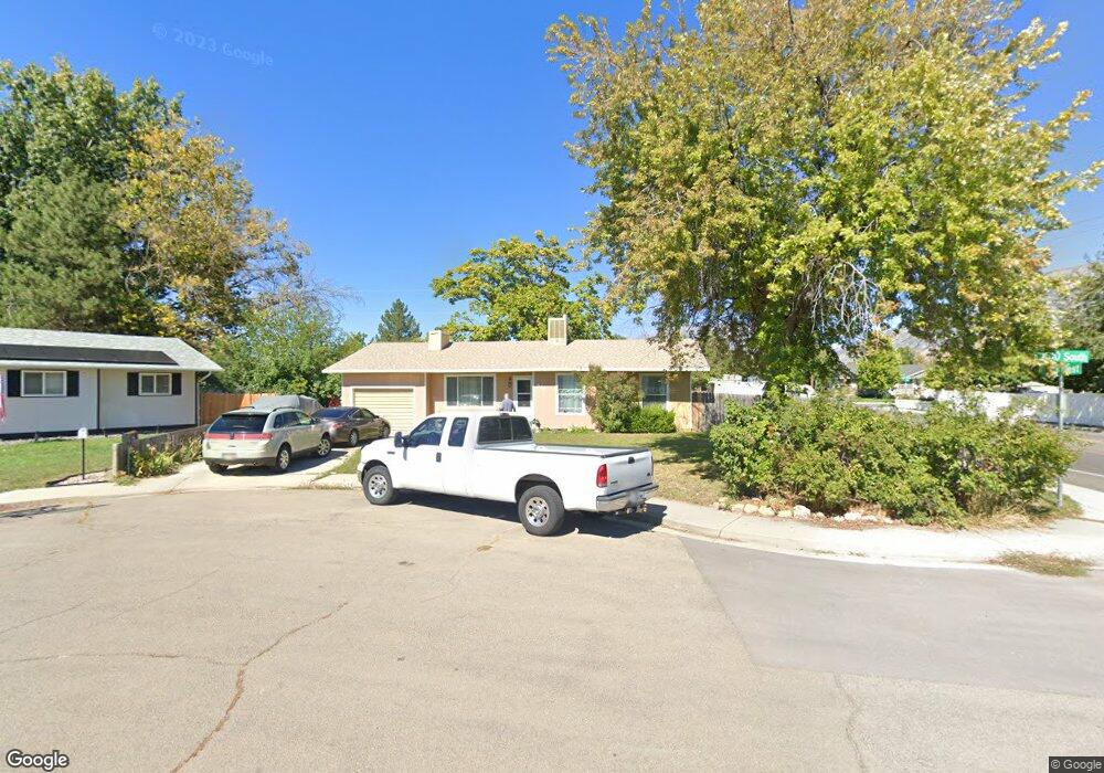
516 W 1610 S Provo, UT 84601
Franklin NeighborhoodEstimated Value: $408,000 - $467,000
3
Beds
2
Baths
1,140
Sq Ft
$381/Sq Ft
Est. Value
About This Home
This home is located at 516 W 1610 S, Provo, UT 84601 and is currently estimated at $433,806, approximately $380 per square foot. 516 W 1610 S is a home located in Utah County with nearby schools including Franklin Elementary School, Dixon Middle School, and Provo High School.
Ownership History
Date
Name
Owned For
Owner Type
Purchase Details
Closed on
Nov 28, 2023
Sold by
Cory Fred E
Bought by
Cory Fred E and Cory Inna L
Current Estimated Value
Purchase Details
Closed on
Jun 13, 2001
Sold by
Mendenhall Jeffory James and Jensen Sharee Lee M
Bought by
Cory Fred E
Home Financials for this Owner
Home Financials are based on the most recent Mortgage that was taken out on this home.
Original Mortgage
$90,000
Interest Rate
7.14%
Purchase Details
Closed on
Feb 3, 2000
Sold by
Nelson Scott W
Bought by
Nelson Tammy
Create a Home Valuation Report for This Property
The Home Valuation Report is an in-depth analysis detailing your home's value as well as a comparison with similar homes in the area
Home Values in the Area
Average Home Value in this Area
Purchase History
| Date | Buyer | Sale Price | Title Company |
|---|---|---|---|
| Cory Fred E | -- | Pro Title & Escrow | |
| Cory Fred E | -- | First American Title Insuran | |
| Nelson Tammy | -- | -- |
Source: Public Records
Mortgage History
| Date | Status | Borrower | Loan Amount |
|---|---|---|---|
| Previous Owner | Cory Fred E | $90,000 |
Source: Public Records
Tax History
| Year | Tax Paid | Tax Assessment Tax Assessment Total Assessment is a certain percentage of the fair market value that is determined by local assessors to be the total taxable value of land and additions on the property. | Land | Improvement |
|---|---|---|---|---|
| 2025 | $1,961 | $214,720 | -- | -- |
| 2024 | $1,961 | $192,995 | $0 | $0 |
| 2023 | $1,879 | $182,325 | $0 | $0 |
| 2022 | $2,022 | $197,890 | $0 | $0 |
| 2021 | $1,529 | $260,900 | $92,600 | $168,300 |
| 2020 | $1,483 | $237,200 | $84,200 | $153,000 |
| 2019 | $1,330 | $221,200 | $84,200 | $137,000 |
| 2018 | $1,163 | $196,300 | $77,200 | $119,100 |
| 2017 | $1,069 | $99,165 | $0 | $0 |
| 2016 | $1,005 | $86,845 | $0 | $0 |
| 2015 | $890 | $77,715 | $0 | $0 |
| 2014 | $817 | $74,360 | $0 | $0 |
Source: Public Records
Map
Nearby Homes
- 1094 S 450 W
- 588 W 1720 S
- 311 W 1610 S
- 1799 S 730 W
- 641 W 1280 S
- 655 W 1280 S
- 1864 S 730 W Unit 1009
- 1163 S 680 W
- 1095 S 500 W Unit 11
- 991 S 500 W
- 1956 E 1700 S
- 1951 E 1700 S
- 914 W 1150 S Unit 2
- 939 S Freedom Blvd Unit 11
- 939 S Freedom Blvd Unit 13
- 933 S Blvd W
- 933 S Freedom Blvd Unit 7
- 340 W 920 S Unit 16
- 131 S Meadow Dr Unit 20
- 151 S Meadow Dr Unit 19
Your Personal Tour Guide
Ask me questions while you tour the home.