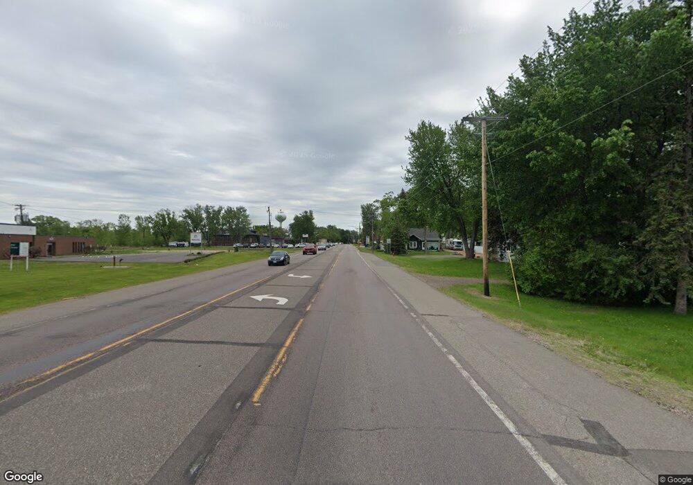
5164 U S Hwy No 12 Maple Plain, MN 55359
Estimated Value: $346,820 - $410,000
3
Beds
2
Baths
1,800
Sq Ft
$210/Sq Ft
Est. Value
About This Home
This home is located at 5164 U S Hwy No 12, Maple Plain, MN 55359 and is currently estimated at $378,205, approximately $210 per square foot. 5164 U S Hwy No 12 is a home located in Hennepin County with nearby schools including Schumann Elementary School, Orono Intermediate Elementary School, and Orono Middle School.
Ownership History
Date
Name
Owned For
Owner Type
Purchase Details
Closed on
Feb 15, 2011
Sold by
Federal National Mortgage Association
Bought by
Vassar Neil J and Vassar Katherine J
Current Estimated Value
Home Financials for this Owner
Home Financials are based on the most recent Mortgage that was taken out on this home.
Original Mortgage
$169,575
Outstanding Balance
$116,201
Interest Rate
4.81%
Mortgage Type
New Conventional
Estimated Equity
$262,004
Purchase Details
Closed on
Feb 11, 2011
Sold by
Federal National Mortgage Association
Bought by
Vassar Neil J and Vassar Katherine J
Home Financials for this Owner
Home Financials are based on the most recent Mortgage that was taken out on this home.
Original Mortgage
$169,575
Outstanding Balance
$116,201
Interest Rate
4.81%
Mortgage Type
New Conventional
Estimated Equity
$262,004
Create a Home Valuation Report for This Property
The Home Valuation Report is an in-depth analysis detailing your home's value as well as a comparison with similar homes in the area
Home Values in the Area
Average Home Value in this Area
Purchase History
| Date | Buyer | Sale Price | Title Company |
|---|---|---|---|
| Vassar Neil J | $178,500 | -- | |
| Vassar Neil J | -- | Rels Title |
Source: Public Records
Mortgage History
| Date | Status | Borrower | Loan Amount |
|---|---|---|---|
| Open | Vassar Neil J | $169,575 |
Source: Public Records
Tax History Compared to Growth
Tax History
| Year | Tax Paid | Tax Assessment Tax Assessment Total Assessment is a certain percentage of the fair market value that is determined by local assessors to be the total taxable value of land and additions on the property. | Land | Improvement |
|---|---|---|---|---|
| 2024 | $4,841 | $290,400 | $77,400 | $213,000 |
| 2023 | $3,557 | $298,600 | $84,200 | $214,400 |
| 2022 | $3,255 | $285,000 | $79,000 | $206,000 |
| 2021 | $3,116 | $239,000 | $71,000 | $168,000 |
| 2020 | $3,145 | $229,000 | $61,000 | $168,000 |
| 2019 | $3,019 | $220,000 | $60,000 | $160,000 |
| 2018 | $3,052 | $205,000 | $55,000 | $150,000 |
| 2017 | $3,173 | $198,000 | $57,000 | $141,000 |
| 2016 | $3,104 | $194,000 | $57,000 | $137,000 |
| 2015 | $2,895 | $180,000 | $51,000 | $129,000 |
| 2014 | -- | $196,000 | $67,000 | $129,000 |
Source: Public Records
Map
Nearby Homes
- 5183 Independence St
- 5249 Main St E
- 1635 Delano Ave
- 5245 Clayton Dr
- 5029 Oak St E
- 5293 Manchester Dr Unit 4
- 5295 Manchester Dr Unit 3
- 5299 Manchester Dr Unit 1
- 4837 Baker Reserve Ln
- 4835 Drake St
- Reiley Plan at Baker Park Estates - Classic and Heritage Collections
- Huntington Plan at Baker Park Estates - Classic and Heritage Collections
- Virginia Plan at Baker Park Estates - Classic and Heritage Collections
- Finland Plan at Baker Park Estates - Classic and Heritage Collections
- Brookston Plan at Baker Park Estates - Classic and Heritage Collections
- Whitney Plan at Baker Park Estates - Classic and Heritage Collections
- Somerset Plan at Baker Park Estates - Classic and Heritage Collections
- 4819 Baker Reserve Ln
- Fraser Plan at Baker Park Estates - Classic and Heritage Collections
- Brookfield Plan at Baker Park Estates - Classic and Heritage Collections
- 5164 Us 12 Hwy
- 5164 Us Highway 12
- 5164 Highway 12
- 5149 Independence St
- 5180 Highway 12
- 5150 Main St E
- 5139 Independence St
- 1644 Budd Ave
- 5140 Main St E
- 5130 Main St E
- 5121 Independence St
- 5120 Main St E
- 5159 Main St E Unit 120
- 5159 Main St E
- 1649 Budd Ave
- 5189 Main St E
- 5104 Main St E
- 1665 Budd Ave
- 1574 Budd Ave
- 1675 Budd Ave
