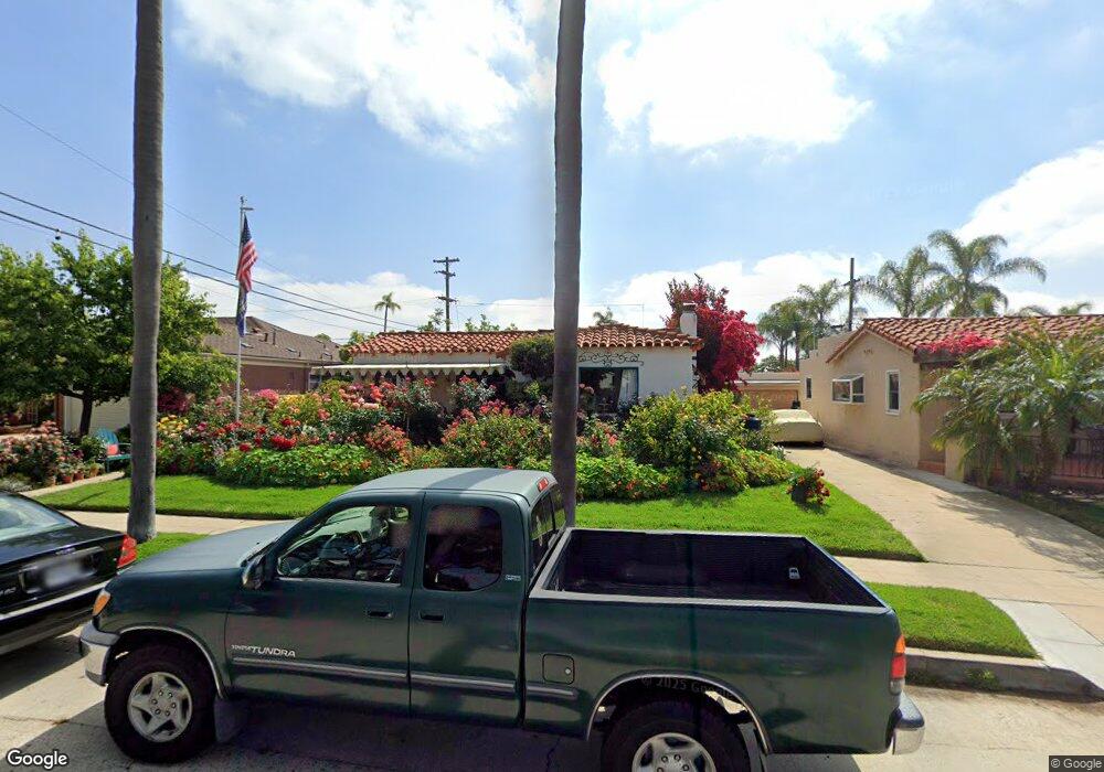
5167 Roxbury Rd San Diego, CA 92116
Kensington NeighborhoodEstimated Value: $1,497,884 - $1,769,000
3
Beds
2
Baths
1,552
Sq Ft
$1,078/Sq Ft
Est. Value
About This Home
This home is located at 5167 Roxbury Rd, San Diego, CA 92116 and is currently estimated at $1,672,721, approximately $1,077 per square foot. 5167 Roxbury Rd is a home located in San Diego County with nearby schools including Franklin Elementary School, Wilson Middle School, and Lewis Middle School.
Ownership History
Date
Name
Owned For
Owner Type
Purchase Details
Closed on
Aug 12, 2008
Sold by
Stout Natalie Jean
Bought by
Stout Natalie Jean
Current Estimated Value
Home Financials for this Owner
Home Financials are based on the most recent Mortgage that was taken out on this home.
Original Mortgage
$70,000
Interest Rate
5.89%
Mortgage Type
New Conventional
Purchase Details
Closed on
Jan 18, 2005
Sold by
Lunt Elizabeth J
Bought by
Elizabeth J Lunt Family Trust
Purchase Details
Closed on
Jun 21, 2003
Sold by
Lunt Elizabeth J
Bought by
Lunt Elizabeth J
Home Financials for this Owner
Home Financials are based on the most recent Mortgage that was taken out on this home.
Original Mortgage
$421,123
Interest Rate
2.47%
Mortgage Type
Reverse Mortgage Home Equity Conversion Mortgage
Create a Home Valuation Report for This Property
The Home Valuation Report is an in-depth analysis detailing your home's value as well as a comparison with similar homes in the area
Home Values in the Area
Average Home Value in this Area
Purchase History
| Date | Buyer | Sale Price | Title Company |
|---|---|---|---|
| Stout Natalie Jean | -- | Stewart Title Of California | |
| Elizabeth J Lunt Family Trust | -- | -- | |
| Lunt Elizabeth J | -- | First Southwestern Title Co |
Source: Public Records
Mortgage History
| Date | Status | Borrower | Loan Amount |
|---|---|---|---|
| Closed | Stout Natalie Jean | $70,000 | |
| Closed | Lunt Elizabeth J | $421,123 | |
| Closed | Lunt Elizabeth J | $421,123 |
Source: Public Records
Tax History Compared to Growth
Tax History
| Year | Tax Paid | Tax Assessment Tax Assessment Total Assessment is a certain percentage of the fair market value that is determined by local assessors to be the total taxable value of land and additions on the property. | Land | Improvement |
|---|---|---|---|---|
| 2025 | $2,471 | $192,474 | $135,876 | $56,598 |
| 2024 | $2,471 | $188,701 | $133,212 | $55,489 |
| 2023 | $2,413 | $185,001 | $130,600 | $54,401 |
| 2022 | $2,345 | $181,375 | $128,040 | $53,335 |
| 2021 | $2,323 | $177,820 | $125,530 | $52,290 |
| 2020 | $2,295 | $175,997 | $124,243 | $51,754 |
| 2019 | $2,254 | $172,547 | $121,807 | $50,740 |
| 2018 | $2,112 | $169,165 | $119,419 | $49,746 |
| 2017 | $2,061 | $165,849 | $117,078 | $48,771 |
| 2016 | $2,027 | $162,598 | $114,783 | $47,815 |
| 2015 | $1,996 | $160,156 | $113,059 | $47,097 |
| 2014 | $1,967 | $157,020 | $110,845 | $46,175 |
Source: Public Records
Map
Nearby Homes
- 4417 Braeburn Rd
- 5150 Bristol Rd
- 5216 Caminito Solitario
- 4223 Middlesex Dr
- 4336 Caminito de la Escena
- 4192 Rochester Rd
- 4205 Caminito Pintoresco
- 5050 Marlborough Dr (-70)
- 4386 Argos Dr
- 4860 Marlborough Dr
- 4613 Janet Place
- 4306 Aldine Dr Unit 1 to 6, 1 to 3 total
- 4136 Palisades Rd
- 4354 N Talmadge Dr
- 4664 Yerba Santa Dr
- 4010 S Hempstead Cir
- 4033 S Hempstead Cir
- 4386 Adams Ave
- 4349 Adams Ave
- 4153 1/2 Adams Ave
- 5159 Roxbury Rd
- 5175 Roxbury Rd
- 4362 Hilldale Rd
- 4368 Hilldale Rd
- 5151 Roxbury Rd
- 5183 Roxbury Rd
- 4348 Hilldale Rd
- 4374 Hilldale Rd
- 5166 Roxbury Rd
- 5156 Roxbury Rd
- 5168 Roxbury Rd
- 4321 Middlesex Dr
- 4380 Hilldale Rd
- 5150 Roxbury Rd
- 5182 Roxbury Rd
- 412 Hillale Rd
- 5190 Roxbury Rd
- 4353 Hilldale Rd
- 4329 Hilldale Rd
- 4401 Braeburn Rd