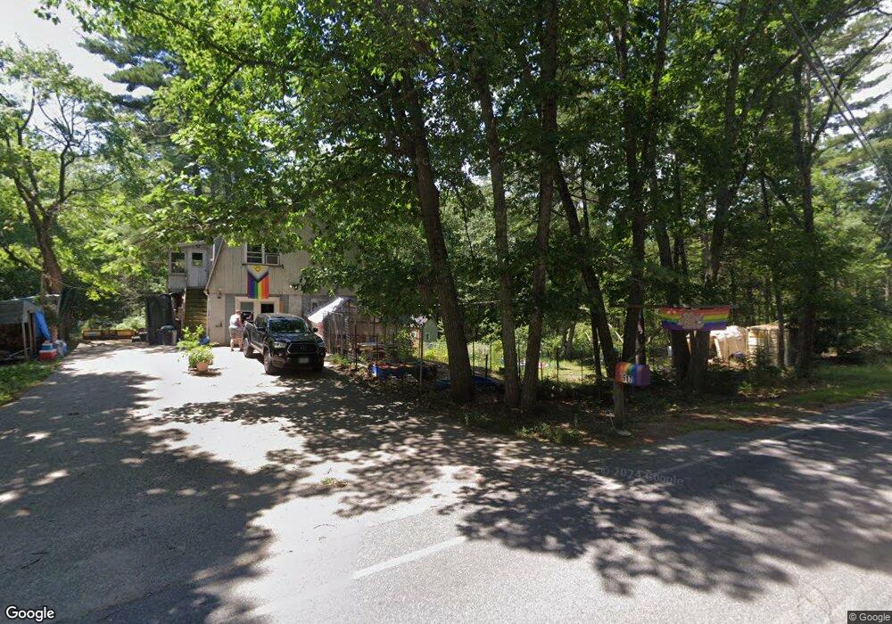
517 2nd Crown Point Rd Strafford, NH 03884
Estimated Value: $425,000 - $493,000
2
Beds
2
Baths
1,560
Sq Ft
$302/Sq Ft
Est. Value
About This Home
This home is located at 517 2nd Crown Point Rd, Strafford, NH 03884 and is currently estimated at $470,744, approximately $301 per square foot. 517 2nd Crown Point Rd is a home with nearby schools including Strafford School and Coe-Brown Northwood Academy.
Ownership History
Date
Name
Owned For
Owner Type
Purchase Details
Closed on
Nov 1, 2006
Sold by
Graffam Stephen A and Graffam Sharon T
Bought by
Devine Charlene J and Devine Jessica
Current Estimated Value
Home Financials for this Owner
Home Financials are based on the most recent Mortgage that was taken out on this home.
Original Mortgage
$187,200
Outstanding Balance
$66,575
Interest Rate
6.47%
Estimated Equity
$404,169
Create a Home Valuation Report for This Property
The Home Valuation Report is an in-depth analysis detailing your home's value as well as a comparison with similar homes in the area
Home Values in the Area
Average Home Value in this Area
Purchase History
| Date | Buyer | Sale Price | Title Company |
|---|---|---|---|
| Devine Charlene J | $234,000 | -- | |
| Devine Charlene J | $234,000 | -- |
Source: Public Records
Mortgage History
| Date | Status | Borrower | Loan Amount |
|---|---|---|---|
| Open | Devine Charlene J | $187,200 | |
| Closed | Devine Charlene J | $187,200 |
Source: Public Records
Tax History Compared to Growth
Tax History
| Year | Tax Paid | Tax Assessment Tax Assessment Total Assessment is a certain percentage of the fair market value that is determined by local assessors to be the total taxable value of land and additions on the property. | Land | Improvement |
|---|---|---|---|---|
| 2024 | $4,426 | $224,000 | $69,400 | $154,600 |
| 2023 | $4,175 | $224,000 | $69,400 | $154,600 |
| 2022 | $3,849 | $224,700 | $70,100 | $154,600 |
| 2021 | $4,048 | $219,300 | $70,200 | $149,100 |
| 2020 | $3,694 | $144,000 | $63,500 | $80,500 |
| 2019 | $3,377 | $143,900 | $63,400 | $80,500 |
| 2018 | $3,096 | $131,000 | $63,200 | $67,800 |
| 2016 | $2,792 | $131,400 | $63,600 | $67,800 |
| 2015 | $2,796 | $128,200 | $77,500 | $50,700 |
| 2014 | $2,969 | $128,200 | $77,500 | $50,700 |
| 2013 | $2,914 | $128,500 | $77,800 | $50,700 |
| 2012 | $2,896 | $129,400 | $78,000 | $51,400 |
Source: Public Records
Map
Nearby Homes
- 948 Strafford Rd
- 243 Second Crown Point Rd
- 345 Dry Hill Rd
- 86 Long Shores Dr
- 68 Berry River Rd
- 0 Long Shores Dr Unit 5057687
- 83 Sloper Rd
- 0 Sloper Rd Unit 6
- 38 Strafford Rd
- 217-13 Washington St
- 212-0003-01 Washington St
- 207-002 Washington St
- 272 Walnut St
- 00 Squire Rd
- 10 Blue Hills Dr
- 40 Dry Hill Rd Unit Lot 0250/0006/0000
- 28-1 Range Rd
- Map 220 Lot 16 Four Rod Rd
- 30 Avalon Rd
- 8 Juniper Ln
- 455 2nd Crown Point Rd
- 506 2nd Crown Point Rd
- 534 2nd Crown Point Rd
- 497 2nd Crown Point Rd
- 494 2nd Crown Point Rd
- 548 2nd Crown Point Rd
- 476 2nd Crown Point Rd
- 564 2nd Crown Point Rd
- 306 Second Crown Point Rd
- 456 2nd Crown Point Rd
- 590 2nd Crown Point Rd
- 589 2nd Crown Point Rd
- 595 2nd Crown Point Rd
- 567 2nd Crown Point Rd
- 199 2nd Crown Point Rd
- 565 2nd Crown Point Rd
- 604 2nd Crown Point Rd
- 36 Jennifer Ln
- 197 2nd Crown Point Rd
- 38 Jennifer Ln