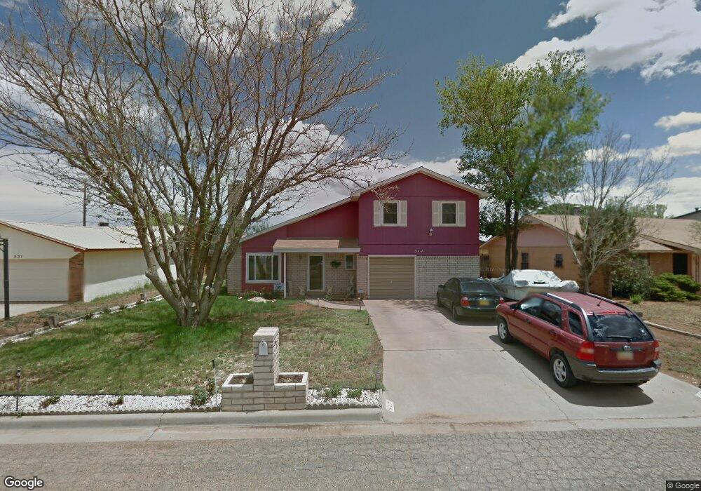
517 Merrill Dr Clovis, NM 88101
Clovis AreaEstimated Value: $169,901 - $219,000
Studio
--
Bath
--
Sq Ft
6,882
Sq Ft Lot
About This Home
This home is located at 517 Merrill Dr, Clovis, NM 88101 and is currently estimated at $186,475. 517 Merrill Dr is a home with nearby schools including Sandia Elementary School, Marshall Middle School, and Clovis High School.
Create a Home Valuation Report for This Property
The Home Valuation Report is an in-depth analysis detailing your home's value as well as a comparison with similar homes in the area
Purchase History
We collect this data history from publicly available records. To have your information removed, we recommend requesting removal directly through your county’s website.
| Date | Buyer | Sale Price | Title Company |
|---|---|---|---|
| -- | -- |
Source: Public Records
Tax History
We collect this data history from publicly available records. To have your information removed, we recommend requesting removal directly through your county’s website.
| Year | Tax Paid | Tax Assessment Tax Assessment Total Assessment is a certain percentage of the fair market value that is determined by local assessors to be the total taxable value of land and additions on the property. | Land | Improvement |
|---|---|---|---|---|
| 2025 | $1,222 | $50,365 | $2,856 | $47,509 |
| 2024 | $1,222 | $48,982 | $2,856 | $46,126 |
| 2023 | $1,177 | $43,006 | $2,856 | $40,150 |
| 2022 | $1,002 | $41,754 | $2,773 | $38,981 |
| 2021 | $907 | $40,539 | $2,693 | $37,846 |
| 2020 | $885 | $39,359 | $2,615 | $36,744 |
| 2019 | $856 | $38,213 | $2,539 | $35,674 |
| 2018 | $824 | $37,101 | $2,466 | $34,635 |
| 2017 | $759 | $36,022 | $2,395 | $33,627 |
| 2016 | $759 | $34,974 | $2,326 | $32,648 |
| 2015 | $730 | $33,957 | $2,259 | $31,698 |
| 2014 | $702 | $32,969 | $2,194 | $30,775 |
Source: Public Records
Map
Nearby Homes
- 321 Merrill Dr
- 2108 Echols Ave
- 0 Wilclark Unit 20246239
- 4501 W 21st St
- 914 W 21st St
- 317 Gayland Dr
- 308 La Salle Dr
- 2708 Harrison Ave
- 212 La Salle Dr
- 301 La Salle Dr
- 437 Sandy Ln
- 309 Sunland Dr
- 213 Starlite Dr
- 2300 Westgate St
- 3121 Mandell Cir
- 1121 Purdue Ave
- 1201 W Yucca Ave
- 2909 Harrison Ave
- 1516 Comer Dr
- 2604 Duckworth Ave
- 521 Merrill Dr
- 525 Merrill Dr
- 108 Calle de Oro
- 513 Merrill Dr
- 104 Calle de Oro
- 524 Merrill Dr
- 520 Merrill Dr
- 528 Merrill Dr
- 509 Merrill Dr
- 516 Merrill Dr
- 116 Calle de Oro
- 713 Starlite Dr
- 709 Starlite Dr
- 512 Merrill Dr
- 505 Merrill Dr
- 117 Calle de Oro
- 725 Corrales Rd
- 717 Corrales Rd
- 721 Corrales Rd
- 105 Calle de Oro
Your Personal Tour Guide
Ask me questions while you tour the home.