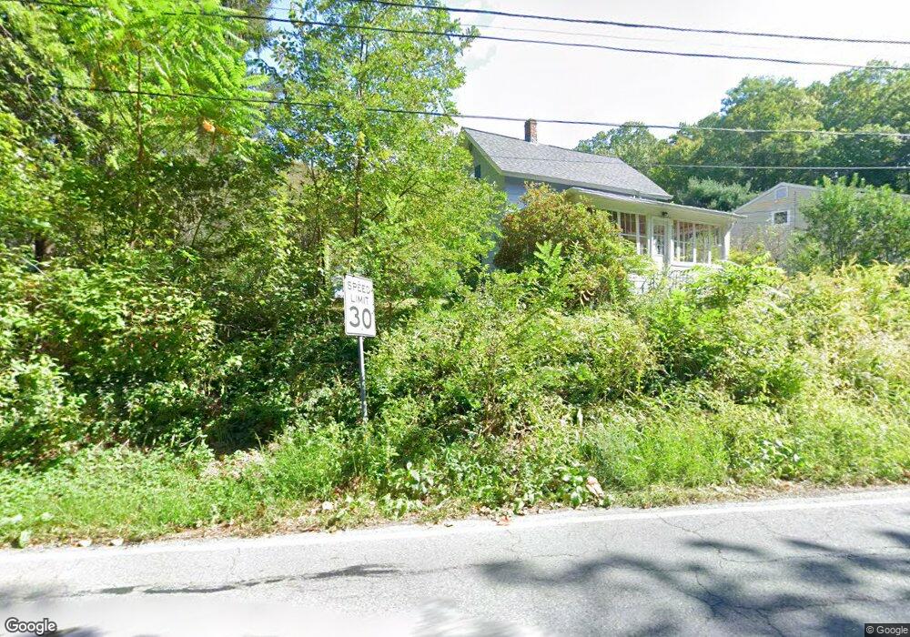
517 Riverside Dr Florence, MA 01062
Florence NeighborhoodEstimated Value: $396,796 - $555,000
3
Beds
1
Bath
1,288
Sq Ft
$376/Sq Ft
Est. Value
About This Home
This home is located at 517 Riverside Dr, Florence, MA 01062 and is currently estimated at $484,199, approximately $375 per square foot. 517 Riverside Dr is a home located in Hampshire County with nearby schools including Northampton High School, The Montessori School of Northampton, and Campus School of Smith College.
Ownership History
Date
Name
Owned For
Owner Type
Purchase Details
Closed on
Nov 16, 2009
Sold by
Martineau Holly A and Martineau Steven
Bought by
Newey Mark D
Current Estimated Value
Home Financials for this Owner
Home Financials are based on the most recent Mortgage that was taken out on this home.
Original Mortgage
$236,000
Outstanding Balance
$153,941
Interest Rate
4.98%
Mortgage Type
Purchase Money Mortgage
Estimated Equity
$330,258
Purchase Details
Closed on
Sep 14, 2005
Sold by
Singler John and Singler Rita
Bought by
Martineau Holly A and Martineau Steven
Home Financials for this Owner
Home Financials are based on the most recent Mortgage that was taken out on this home.
Original Mortgage
$188,800
Interest Rate
5.84%
Mortgage Type
Purchase Money Mortgage
Create a Home Valuation Report for This Property
The Home Valuation Report is an in-depth analysis detailing your home's value as well as a comparison with similar homes in the area
Home Values in the Area
Average Home Value in this Area
Purchase History
| Date | Buyer | Sale Price | Title Company |
|---|---|---|---|
| Newey Mark D | $249,000 | -- | |
| Martineau Holly A | $236,000 | -- |
Source: Public Records
Mortgage History
| Date | Status | Borrower | Loan Amount |
|---|---|---|---|
| Open | Newey Mark D | $236,000 | |
| Previous Owner | Martineau Holly A | $188,800 |
Source: Public Records
Tax History
| Year | Tax Paid | Tax Assessment Tax Assessment Total Assessment is a certain percentage of the fair market value that is determined by local assessors to be the total taxable value of land and additions on the property. | Land | Improvement |
|---|---|---|---|---|
| 2025 | $4,797 | $344,400 | $129,400 | $215,000 |
| 2024 | $4,903 | $322,800 | $129,400 | $193,400 |
| 2023 | $4,527 | $285,800 | $117,400 | $168,400 |
| 2022 | $4,210 | $235,300 | $117,400 | $117,900 |
| 2021 | $3,797 | $218,600 | $112,400 | $106,200 |
| 2020 | $3,672 | $218,600 | $112,400 | $106,200 |
| 2019 | $3,669 | $211,200 | $112,400 | $98,800 |
| 2018 | $3,861 | $226,600 | $112,400 | $114,200 |
| 2017 | $3,782 | $226,600 | $112,400 | $114,200 |
| 2016 | $3,662 | $226,600 | $112,400 | $114,200 |
| 2015 | $3,485 | $220,600 | $112,400 | $108,200 |
| 2014 | $3,395 | $220,600 | $112,400 | $108,200 |
Source: Public Records
Map
Nearby Homes
- 41 Landy Ave
- 37 Landy Ave
- 33 Landy Ave
- 76 Maple St
- 67 Park St Unit A
- 14 Meadow St
- 63 Riverside Dr
- 492 Elm St
- 42 Clark St
- 22 Lilly St
- 31 Lilly St
- 32 Stilson Ave
- 44 Sheffield Ln
- 575 Bridge Rd Unit 11-8
- 575 Bridge Rd Unit 12-7
- 575 Bridge Rd Unit 10-5
- 0 Terrace Ln
- 589 Florence Rd
- 61 Woodlawn Ave
- 296 Ryan Rd Unit A
- 509 Riverside Dr
- 503 Riverside Dr
- 541 Riverside Dr
- 543 Riverside Dr
- 557 Riverside Dr
- 557 Riverside Dr Unit 1060
- 565 Riverside Dr
- 167 Baker Hill Rd
- 137 Baker Hill Rd
- 569 Riverside Dr
- 201 Warner St
- 545 Riverside Dr
- 43-65 Baker Hill Rd
- 107 Baker Hill Rd
- 579 Riverside Dr
- 158 Baker Hill Rd
- 170 Willow St
- 65 Baker Hill Rd
- 128 Baker Hill Rd
- 591 Riverside Dr
Your Personal Tour Guide
Ask me questions while you tour the home.