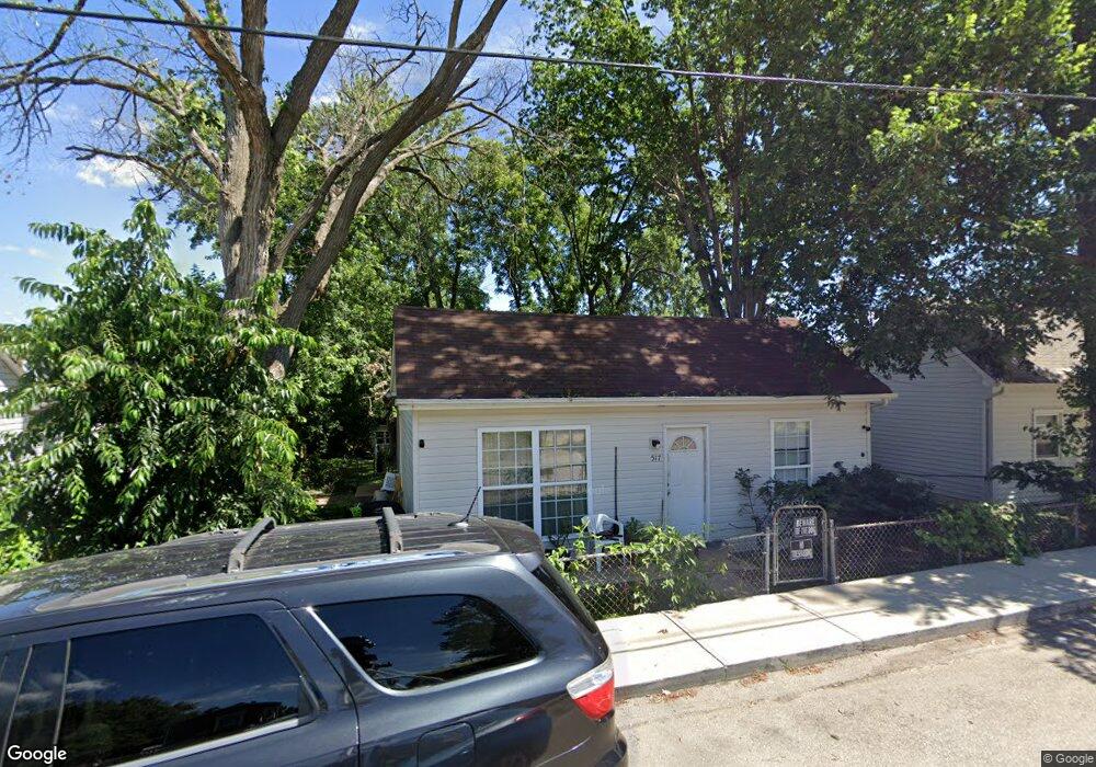
517 S 5th St Festus, MO 63028
Festus/Crystal City NeighborhoodEstimated Value: $157,387 - $208,000
3
Beds
1
Bath
1,218
Sq Ft
$153/Sq Ft
Est. Value
About This Home
This home is located at 517 S 5th St, Festus, MO 63028 and is currently estimated at $186,847, approximately $153 per square foot. 517 S 5th St is a home located in Jefferson County with nearby schools including Festus Elementary School, Festus Intermediate School, and Festus Middle School.
Ownership History
Date
Name
Owned For
Owner Type
Purchase Details
Closed on
Nov 13, 2008
Sold by
The Bank Of New York Mellon
Bought by
Menkhus William R and Menkhus Tamara J
Current Estimated Value
Home Financials for this Owner
Home Financials are based on the most recent Mortgage that was taken out on this home.
Original Mortgage
$68,000
Outstanding Balance
$44,438
Interest Rate
5.99%
Mortgage Type
Construction
Estimated Equity
$142,409
Purchase Details
Closed on
Jun 28, 2006
Sold by
Pratt Mark A and Pratt Caroline R
Bought by
Anderson Sean and Rednour Traci
Home Financials for this Owner
Home Financials are based on the most recent Mortgage that was taken out on this home.
Original Mortgage
$89,900
Interest Rate
10.45%
Mortgage Type
Purchase Money Mortgage
Create a Home Valuation Report for This Property
The Home Valuation Report is an in-depth analysis detailing your home's value as well as a comparison with similar homes in the area
Home Values in the Area
Average Home Value in this Area
Purchase History
| Date | Buyer | Sale Price | Title Company |
|---|---|---|---|
| Menkhus William R | $49,900 | Ust | |
| Anderson Sean | -- | Ust |
Source: Public Records
Mortgage History
| Date | Status | Borrower | Loan Amount |
|---|---|---|---|
| Open | Menkhus William R | $68,000 | |
| Previous Owner | Anderson Sean | $89,900 |
Source: Public Records
Tax History
| Year | Tax Paid | Tax Assessment Tax Assessment Total Assessment is a certain percentage of the fair market value that is determined by local assessors to be the total taxable value of land and additions on the property. | Land | Improvement |
|---|---|---|---|---|
| 2025 | $696 | $13,000 | $1,300 | $11,700 |
| 2024 | $696 | $12,300 | $1,300 | $11,000 |
| 2023 | $696 | $12,300 | $1,300 | $11,000 |
| 2022 | $693 | $12,300 | $1,300 | $11,000 |
| 2021 | $693 | $12,300 | $1,300 | $11,000 |
| 2020 | $655 | $10,900 | $1,000 | $9,900 |
| 2019 | $655 | $10,900 | $1,000 | $9,900 |
| 2018 | $591 | $10,900 | $1,000 | $9,900 |
| 2017 | $591 | $10,900 | $1,000 | $9,900 |
| 2016 | $517 | $9,500 | $1,000 | $8,500 |
| 2015 | $515 | $9,500 | $1,000 | $8,500 |
| 2013 | -- | $9,100 | $1,000 | $8,100 |
Source: Public Records
Map
Nearby Homes
- 409 S 5th St
- 410 S 4th St
- 810 S 2nd St
- 403 S Adams St
- 2533 U S Highway 67
- 000 U S Highway 67
- 416 Russell Ave
- 212 N Adams St
- 947 S 2nd St
- 955 S 3rd St
- 0 Tbb Birchwood Overlook -Pin Oa Unit MAR24022705
- 617 N 6th St
- 601 Warne St
- 17 Ash Ct
- 716 N Mill St
- 609 Valentine St
- 518 Westwood Place
- 621 Westwood Dr S Unit A
- 806 Virginia Ave
- 209 Virginia Ave
Your Personal Tour Guide
Ask me questions while you tour the home.