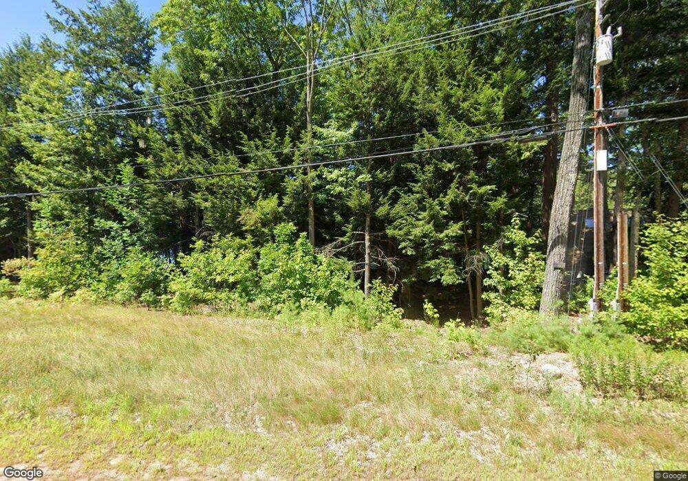
517 Squam Lake Rd Center Sandwich, NH 03227
Estimated Value: $1,030,000 - $1,839,000
2
Beds
2
Baths
1,000
Sq Ft
$1,264/Sq Ft
Est. Value
About This Home
This home is located at 517 Squam Lake Rd, Center Sandwich, NH 03227 and is currently estimated at $1,264,067, approximately $1,264 per square foot. 517 Squam Lake Rd is a home located in Carroll County with nearby schools including Inter-Lakes Elementary School.
Ownership History
Date
Name
Owned For
Owner Type
Purchase Details
Closed on
May 27, 2011
Sold by
F S Browning Gst T
Bought by
Livesey Family Compoun
Current Estimated Value
Home Financials for this Owner
Home Financials are based on the most recent Mortgage that was taken out on this home.
Original Mortgage
$400,000
Outstanding Balance
$279,729
Interest Rate
4.94%
Mortgage Type
Purchase Money Mortgage
Estimated Equity
$984,338
Create a Home Valuation Report for This Property
The Home Valuation Report is an in-depth analysis detailing your home's value as well as a comparison with similar homes in the area
Home Values in the Area
Average Home Value in this Area
Purchase History
| Date | Buyer | Sale Price | Title Company |
|---|---|---|---|
| Livesey Family Compoun | $650,000 | -- | |
| Livesey Family Compoun | $650,000 | -- |
Source: Public Records
Mortgage History
| Date | Status | Borrower | Loan Amount |
|---|---|---|---|
| Open | Livesey Family Compoun | $400,000 | |
| Closed | Livesey Family Compoun | $400,000 |
Source: Public Records
Tax History Compared to Growth
Tax History
| Year | Tax Paid | Tax Assessment Tax Assessment Total Assessment is a certain percentage of the fair market value that is determined by local assessors to be the total taxable value of land and additions on the property. | Land | Improvement |
|---|---|---|---|---|
| 2024 | $10,315 | $1,139,800 | $1,070,000 | $69,800 |
| 2023 | $8,925 | $578,800 | $515,000 | $63,800 |
| 2022 | $8,341 | $578,800 | $515,000 | $63,800 |
| 2021 | $8,367 | $578,200 | $515,000 | $63,200 |
| 2020 | $8,367 | $578,200 | $515,000 | $63,200 |
| 2019 | $8,228 | $578,200 | $515,000 | $63,200 |
| 2018 | $8,253 | $565,300 | $502,000 | $63,300 |
| 2017 | $8,152 | $565,300 | $502,000 | $63,300 |
| 2016 | $8,176 | $565,400 | $502,000 | $63,400 |
| 2015 | $7,899 | $565,400 | $502,000 | $63,400 |
| 2014 | $7,627 | $565,400 | $502,000 | $63,400 |
| 2013 | $6,488 | $579,300 | $503,100 | $76,200 |
Source: Public Records
Map
Nearby Homes
- 2 Prescott Rd
- 371 Range Rd
- 67 Skinner St
- 45 Skinner St
- 19 Abenaki Ln
- M:027 L:002-001 Sheridan Rd
- M:027 L:002 Sheridan Rd
- 53 Bay Dr
- 284 Wentworth Hill Rd
- 100 Marvin Rd
- 2 Garland Pond Rd
- 0 Garland Pond Rd Unit 76
- 647 Whittier Hwy
- 525 Whittier Hwy
- 781 Mount Israel Rd
- 139 Skyline Dr
- 69 Buoniello Rd
- 00 Whittier Hwy Unit 8
- 38 Lake Shore Dr Unit 12
- 38 Lake Shore Dr Unit 10
- 6 Sabine Point Rd
- 27 Sabine Point Rd
- 571 Squam Lake Rd Unit 571
- 571 Squam Lake Rd
- 33 Sabine Point Rd
- 634 Squam Lake Rd
- 00 Squam Lake Rd
- 14 Squam Lake Rd Unit 14
- 11 Squam Lake Rd Unit 11
- 725 Squam Lake Rd
- 35 Prescott Rd
- 716 Squam Lake Rd
- 145 Long Point Rd
- 72 Long Point Rd
- 60 Long Point Rd
- 26 Pasture Rd
- 51 Pasture Rd
- 163 Coolidge Farm Rd
- 168 Coolidge Farm Rd
- 146 Coolidge Farm Rd
