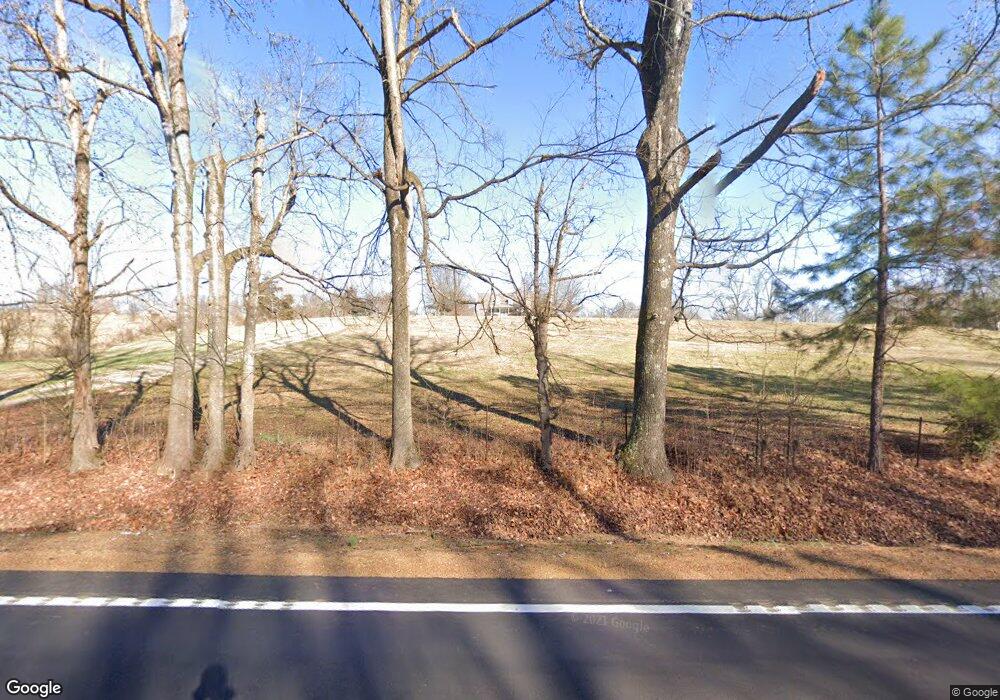
5176 Highway 59 W Covington, TN 38019
Estimated Value: $172,000 - $358,112
--
Bed
3
Baths
1,714
Sq Ft
$172/Sq Ft
Est. Value
About This Home
This home is located at 5176 Highway 59 W, Covington, TN 38019 and is currently estimated at $295,528, approximately $172 per square foot. 5176 Highway 59 W is a home located in Tipton County with nearby schools including Crestview Elementary School, Crestview Middle School, and Covington High School.
Ownership History
Date
Name
Owned For
Owner Type
Purchase Details
Closed on
Aug 30, 2022
Sold by
Caitlyn Poole
Bought by
Poole Casey
Current Estimated Value
Purchase Details
Closed on
Jun 4, 2002
Sold by
Steve Uttz and Steve Lisa
Bought by
Raymond Poole
Purchase Details
Closed on
Nov 28, 2001
Sold by
Keith Potter and Keith Kelly
Bought by
Steve Uttz
Purchase Details
Closed on
Jun 30, 1989
Bought by
Potter Keith and Potter Kelly
Purchase Details
Closed on
Feb 24, 1987
Purchase Details
Closed on
Oct 7, 1983
Bought by
Downing Elijah M and Downing Doris H
Purchase Details
Closed on
Apr 28, 1980
Create a Home Valuation Report for This Property
The Home Valuation Report is an in-depth analysis detailing your home's value as well as a comparison with similar homes in the area
Home Values in the Area
Average Home Value in this Area
Purchase History
| Date | Buyer | Sale Price | Title Company |
|---|---|---|---|
| Poole Casey | -- | Owen David E | |
| Poole Casey | -- | Owen David E | |
| Raymond Poole | $65,000 | -- | |
| Steve Uttz | $55,000 | -- | |
| Potter Keith | $33,000 | -- | |
| -- | $24,500 | -- | |
| Downing Elijah M | -- | -- | |
| -- | -- | -- |
Source: Public Records
Tax History Compared to Growth
Tax History
| Year | Tax Paid | Tax Assessment Tax Assessment Total Assessment is a certain percentage of the fair market value that is determined by local assessors to be the total taxable value of land and additions on the property. | Land | Improvement |
|---|---|---|---|---|
| 2024 | $1,366 | $89,775 | $22,350 | $67,425 |
| 2023 | $1,366 | $89,775 | $22,350 | $67,425 |
| 2022 | $1,293 | $63,375 | $16,425 | $46,950 |
| 2021 | $1,293 | $63,375 | $16,425 | $46,950 |
| 2020 | $1,292 | $63,375 | $16,425 | $46,950 |
| 2019 | $1,236 | $51,075 | $14,075 | $37,000 |
| 2018 | $1,236 | $51,075 | $14,075 | $37,000 |
| 2017 | $1,236 | $51,075 | $14,075 | $37,000 |
| 2016 | $1,236 | $51,075 | $14,075 | $37,000 |
| 2015 | $1,234 | $51,075 | $14,075 | $37,000 |
| 2014 | $1,235 | $51,094 | $0 | $0 |
Source: Public Records
Map
Nearby Homes
- 73 Mcwilliams Rd
- 0 Mcwilliams Rd
- 65 Paulette Cir
- 1524 Garland Dr
- 1202 Bucksnort Rd
- 0 Hawkins Rd
- 7218 Tennessee 59
- 101 Sivil Cir
- 2930 Indian Creek Rd
- 2847 Holly Grove Rd
- 273 Daniel Dr
- 10448 Route 59
- 8249 Highway 59 W
- 1288 Walnut Grove Rd
- 2356 Indian Creek Rd
- 0 Lavelle Rd
- 272 Stephens Rd
- 0 Elm Grove Rd
- 52 Stacey Ln
- 190 Stacey Ln
- 5126 Highway 59 W
- 5310 Highway 59 W
- 5090 Highway 59 W
- 5327 Highway 59 W
- 5373 Highway 59 W
- 5373 Hwy 59 Hwy
- 185 McLillie Ln
- 66 J E Roberts Rd
- 5393 Tennessee 59
- 5393 Highway 59 W
- 217 McLillie Ln
- 4962 Highway 59 W
- 56 J E Roberts Rd
- 80 J E Roberts Rd
- 5431 Highway 59 W
- 5466 Highway 59 W
- 4937 Highway 59 W
- 4912 Hwy 59 W
- 105 J E Roberts Rd
- 4908 Highway 59 W
