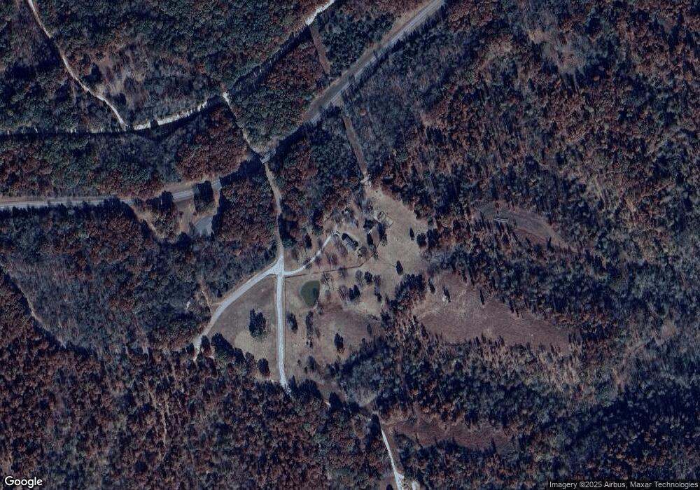
5178 Scott Branch Rd Duck River, TN 38454
Hampshire NeighborhoodEstimated Value: $718,898
--
Bed
2
Baths
1,935
Sq Ft
$372/Sq Ft
Est. Value
About This Home
This home is located at 5178 Scott Branch Rd, Duck River, TN 38454 and is currently priced at $718,898, approximately $371 per square foot. 5178 Scott Branch Rd is a home located in Maury County with nearby schools including Hampshire Unit School.
Ownership History
Date
Name
Owned For
Owner Type
Purchase Details
Closed on
Oct 9, 2015
Sold by
Cliff Scott
Bought by
Wilson Bennie Charles
Current Estimated Value
Home Financials for this Owner
Home Financials are based on the most recent Mortgage that was taken out on this home.
Original Mortgage
$82,500
Interest Rate
3.88%
Mortgage Type
Unknown
Purchase Details
Closed on
Sep 29, 2006
Sold by
Wilson Vanessa A
Bought by
Wilson Bennie C
Purchase Details
Closed on
Jun 14, 2002
Sold by
Wilson Bennie Charles
Bought by
Wilson Bennie Charles and Wilson Vanessa A
Home Financials for this Owner
Home Financials are based on the most recent Mortgage that was taken out on this home.
Original Mortgage
$133,100
Interest Rate
6.77%
Purchase Details
Closed on
Aug 1, 1987
Bought by
Wilson Bennie C and Wilson Tina
Create a Home Valuation Report for This Property
The Home Valuation Report is an in-depth analysis detailing your home's value as well as a comparison with similar homes in the area
Home Values in the Area
Average Home Value in this Area
Purchase History
| Date | Buyer | Sale Price | Title Company |
|---|---|---|---|
| Wilson Bennie Charles | $123,650 | Security Title & Escrow Co L | |
| Wilson Bennie C | -- | None Available | |
| Wilson Bennie Charles | -- | -- | |
| Wilson Bennie C | $6,400 | -- |
Source: Public Records
Mortgage History
| Date | Status | Borrower | Loan Amount |
|---|---|---|---|
| Closed | Wilson Bennie Charles | $82,500 | |
| Previous Owner | Wilson Bennie Charles | $133,100 | |
| Previous Owner | Wilson Bennie C | $37,000 | |
| Previous Owner | Wilson Bennie C | $12,296 |
Source: Public Records
Tax History Compared to Growth
Tax History
| Year | Tax Paid | Tax Assessment Tax Assessment Total Assessment is a certain percentage of the fair market value that is determined by local assessors to be the total taxable value of land and additions on the property. | Land | Improvement |
|---|---|---|---|---|
| 2022 | $2,069 | $108,350 | $36,800 | $71,550 |
Source: Public Records
Map
Nearby Homes
- 0 New Sheboss Rd
- 4655 Love Branch Rd
- 1 Love Branch Rd Tract 1
- 2 Love Branch Rd Tract 2
- 5056 Kettle Mills Rd
- 4648 Love Branch Rd
- 2725 She Boss Rd
- 0 She Boss Rd
- 0 Mobley Ridge Unit RTC2887694
- 0 Love Branch Rd
- 4658 Dry Fork Rd
- 4146 Taylors Store Rd
- 3978 Catheys Creek Rd
- 3931 Taylors Store Rd
- 2882 Mobley Ridge Rd
- 2332 Mobley Ridge Rd
- 4103 Hampshire Pike
- 4109 Church St
- 4041 Hampshire Pike
- 4215 Hampshire Pike
- 5154 Scott Branch Rd
- 106 Word Rd
- 5065 Scott Branch Rd
- 5012 Scott Branch Rd
- 1330 Right Prong Blue Buck Rd
- 4805 Love Branch Rd
- 4994 Scott Branch Rd
- 5355 Word Rd
- 5327 Word Rd
- 1400 Right Prong Blue Buck Rd
- 1355 Right Prong Blue Buck Rd
- 4863 Love Branch Rd
- 5355 Word Rd
- 1436 Right Prong Blue Buck Rd
- 1386 New She Boss Rd
- 0 Scott Branch Rd
- 4948 Scott Branch Rd
- 1066 New She Boss Rd
- 4965 Scott Branch Rd
- 4935 Love Branch Rd
