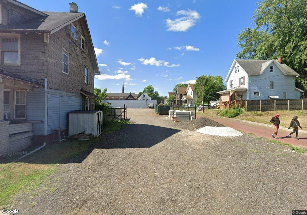
518 9th St NW Canton, OH 44703
Summit NeighborhoodEstimated Value: $75,000 - $148,000
Studio
2
Baths
--
Sq Ft
2,004
Sq Ft
About This Home
This home is located at 518 9th St NW, Canton, OH 44703 and is currently estimated at $120,000. 518 9th St NW is a home located in Stark County with nearby schools including Early Learning Center @ Schreiber, Gibbs Elementary School, and Clarendon Intermediate School.
Ownership History
Date
Name
Owned For
Owner Type
Purchase Details
Closed on
Nov 30, 2021
Sold by
Canton Community Improvement Corporation
Bought by
Campbell Landcaping Llc
Current Estimated Value
Purchase Details
Closed on
Oct 15, 2018
Sold by
Stark County Land Reutilization Corp
Bought by
City Of Canton
Purchase Details
Closed on
Sep 2, 2014
Sold by
Sponseller Bradley J and Sponsellor Bradley J
Bought by
Stark County Land Reutilization Corp
Purchase Details
Closed on
Mar 3, 2010
Sold by
Polster Properties Llc
Bought by
Sponsellor Bradley J
Purchase Details
Closed on
Oct 15, 2002
Sold by
Hart David and Hart Kimberly
Bought by
Polster Jonathan R and Polster Nancy K
Purchase Details
Closed on
Jun 21, 2002
Sold by
International Investments Inc
Bought by
Hart David and Hart Kimberly
Home Financials for this Owner
Home Financials are based on the most recent Mortgage that was taken out on this home.
Original Mortgage
$44,000
Interest Rate
6.93%
Mortgage Type
Seller Take Back
Purchase Details
Closed on
May 28, 2002
Sold by
Ocwen Federal Bank Fsb
Bought by
International Investments Inc
Home Financials for this Owner
Home Financials are based on the most recent Mortgage that was taken out on this home.
Original Mortgage
$44,000
Interest Rate
6.93%
Mortgage Type
Seller Take Back
Purchase Details
Closed on
Feb 12, 2002
Sold by
Solomon Debra A
Bought by
Ocwen Federal Bank Fsb
Purchase Details
Closed on
Jan 3, 2002
Sold by
Solomon Debra A and Solomon Joe
Bought by
Ocwen Federal Bank Fsb
Purchase Details
Closed on
Mar 3, 1999
Sold by
Wadian Robin Y and Pradelski Robin Y
Bought by
Solomon Debra A and Solomon Deborah
Home Financials for this Owner
Home Financials are based on the most recent Mortgage that was taken out on this home.
Original Mortgage
$44,800
Interest Rate
9.65%
Mortgage Type
Purchase Money Mortgage
Purchase Details
Closed on
May 20, 1992
Create a Home Valuation Report for This Property
The Home Valuation Report is an in-depth analysis detailing your home's value as well as a comparison with similar homes in the area
Home Values in the Area
Average Home Value in this Area
Purchase History
| Date | Buyer | Sale Price | Title Company |
|---|---|---|---|
| Campbell Landcaping Llc | -- | None Available | |
| Canton Community Improvement Corporation | -- | None Available | |
| City Of Canton | -- | None Available | |
| Stark County Land Reutilization Corp | $3,200 | None Available | |
| Sponsellor Bradley J | $13,500 | Attorney | |
| Polster Jonathan R | $61,000 | -- | |
| Hart David | $61,000 | First Security Title | |
| International Investments Inc | $18,000 | -- | |
| Ocwen Federal Bank Fsb | $16,000 | -- | |
| Ocwen Federal Bank Fsb | $16,000 | -- | |
| Solomon Debra A | $47,000 | Trident Title Agency | |
| -- | $10,100 | -- |
Source: Public Records
Mortgage History
| Date | Status | Borrower | Loan Amount |
|---|---|---|---|
| Previous Owner | Hart David | $44,000 | |
| Previous Owner | Solomon Debra A | $44,800 |
Source: Public Records
Tax History
| Year | Tax Paid | Tax Assessment Tax Assessment Total Assessment is a certain percentage of the fair market value that is determined by local assessors to be the total taxable value of land and additions on the property. | Land | Improvement |
|---|---|---|---|---|
| 2025 | $21 | $840 | $840 | -- |
| 2024 | $16 | $840 | $840 | -- |
| 2023 | $31 | $490 | $490 | -- |
| 2022 | $35 | $490 | $490 | $0 |
| 2021 | $6 | $490 | $490 | $0 |
| 2020 | $1 | $490 | $490 | $0 |
| 2019 | $0 | $490 | $490 | $0 |
| 2018 | $0 | $490 | $490 | $0 |
| 2017 | $0 | $530 | $530 | $0 |
| 2016 | $0 | $530 | $530 | $0 |
| 2015 | -- | $5,290 | $1,090 | $4,200 |
| 2014 | $340 | $6,340 | $1,300 | $5,040 |
| 2013 | $340 | $10,050 | $1,300 | $8,750 |
Source: Public Records
Map
Nearby Homes
- 912 Essig Ct NW
- 1005 Dewalt Ave NW
- 1007 Dewalt Ave NW
- 814 Plymouth Ct NW
- 706 Harriet Ave NW
- 1018 9th St NW
- 1227 Worley Ave NW
- 1221 9th St NW
- 1124 Monnot Place NW
- 1331 Louisiana Ave NW
- 1335 Louisiana Ave NW
- 1122 Hoover Place NW
- 1322 12th St NW
- 1401 8th St NW
- 1405 8th St NW
- 1161 Spring Ave NE
- 1421 Market Ave N
- 1409 8th St NW
- 1407 7th St NW
- 1428 9th St NW
- 518 9th St NE
- 514 9th St NW
- 602 9th St NW
- 510 9th St NW
- 515 9th St NW
- 523 9th St NW
- 606 9th St NW
- 506 9th St NW
- 826 Essig Ct NW
- 825 Essig Ct NW
- 825 Essig Ct NW
- 608 9th St NW
- 915 Mckinley Ave NW
- 610 612 9th St NW
- 610 9th St NW
- 822 Essig Ct NW
- 823 Essig Ct NW
- 611 9th St NW
- 609 Wilson Place NW
- 919 Mckinley Ave NW
Your Personal Tour Guide
Ask me questions while you tour the home.