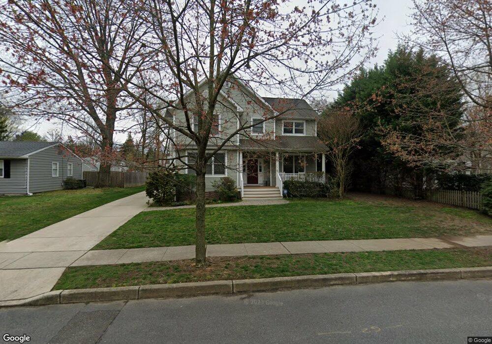
518 Devon Rd Moorestown, NJ 08057
Estimated Value: $795,566 - $873,000
Studio
--
Bath
3,077
Sq Ft
$274/Sq Ft
Est. Value
About This Home
This home is located at 518 Devon Rd, Moorestown, NJ 08057 and is currently estimated at $843,142, approximately $274 per square foot. 518 Devon Rd is a home located in Burlington County with nearby schools including George C. Baker Elementary School, Moorestown Upper Elementary School, and William Allen Middle School.
Ownership History
Date
Name
Owned For
Owner Type
Purchase Details
Closed on
Dec 15, 2011
Sold by
Miller Peter H and Miller Rosemary H
Bought by
Miller Peter H and Miller Rosemary H
Current Estimated Value
Purchase Details
Closed on
May 9, 2008
Sold by
Essex Enterprises Llc and Pacella Brad
Bought by
Miller Peter H and Miller Rosemary H
Purchase Details
Closed on
Aug 20, 2005
Sold by
Just Barbara D
Bought by
Essex Enterprises Llc
Home Financials for this Owner
Home Financials are based on the most recent Mortgage that was taken out on this home.
Original Mortgage
$1,500,000
Interest Rate
5.92%
Mortgage Type
Purchase Money Mortgage
Create a Home Valuation Report for This Property
The Home Valuation Report is an in-depth analysis detailing your home's value as well as a comparison with similar homes in the area
Home Values in the Area
Average Home Value in this Area
Purchase History
| Date | Buyer | Sale Price | Title Company |
|---|---|---|---|
| Miller Peter H | -- | None Available | |
| Miller Peter H | $530,000 | Infinity Title Agency Inc | |
| Essex Enterprises Llc | $530,000 | Weichert Title Agency |
Source: Public Records
Mortgage History
| Date | Status | Borrower | Loan Amount |
|---|---|---|---|
| Previous Owner | Essex Enterprises Llc | $1,500,000 |
Source: Public Records
Tax History
| Year | Tax Paid | Tax Assessment Tax Assessment Total Assessment is a certain percentage of the fair market value that is determined by local assessors to be the total taxable value of land and additions on the property. | Land | Improvement |
|---|---|---|---|---|
| 2025 | $12,758 | $449,700 | $122,600 | $327,100 |
| 2024 | $12,371 | $449,700 | $122,600 | $327,100 |
| 2023 | $12,371 | $449,700 | $122,600 | $327,100 |
| 2022 | $12,245 | $449,700 | $122,600 | $327,100 |
| 2021 | $12,083 | $449,700 | $122,600 | $327,100 |
| 2020 | $12,007 | $449,700 | $122,600 | $327,100 |
| 2019 | $11,796 | $449,700 | $122,600 | $327,100 |
| 2018 | $10,930 | $428,300 | $122,600 | $305,700 |
| 2017 | $11,024 | $428,300 | $122,600 | $305,700 |
| 2016 | $10,986 | $428,300 | $122,600 | $305,700 |
| 2015 | $10,853 | $428,300 | $122,600 | $305,700 |
| 2014 | $11,087 | $460,800 | $122,600 | $338,200 |
Source: Public Records
Map
Nearby Homes
- 15 Circle Dr
- 401 W 3rd St
- 307 Fairview Ave
- 206 E Camden Ave
- 149 Chalkboard Ct
- 141 Chalkboard Ct Unit 141
- 601 Stratford Dr
- 93 Westbrook Dr
- 444 Shady Ln
- 543 Bethel Ave
- 21 N Lenola Rd
- 5 Vincent Way
- 27 Domenica Dr
- 11 Errickson Ave
- 206 Crider Ave Unit 206
- 15 W Close Unit 15
- 22 E Close Unit 22
- 620 N Lincoln Ave
- 8 S Close Unit 8
- 228 Mill St
- 311 N Colonial Ridge
- 516 Devon Rd
- 535 Covington Terrace
- 301 N Colonial Ridge
- 310 N Colonial Ridge
- 535 Devon Rd
- 514 Devon Rd
- 517 Devon Rd
- 519 Devon Rd
- 541 Devon Rd
- 527 Covington Terrace
- 555 Devon Rd
- 300 N Colonial Ridge
- 512 Devon Rd
- 1 Manor Ct
- 221 N Colonial Ridge
- 515 Devon Rd
- 599 Devon Rd
- 3 Manor Ct
- 523 Covington Terrace
Your Personal Tour Guide
Ask me questions while you tour the home.