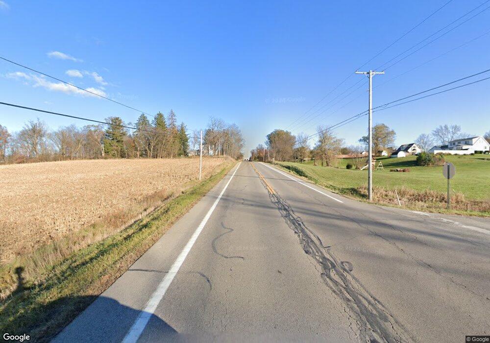
518 Us Rt 250 Ashland, OH 44805
Estimated Value: $87,794 - $135,000
--
Bed
--
Bath
--
Sq Ft
1
Acres
About This Home
This home is located at 518 Us Rt 250, Ashland, OH 44805 and is currently estimated at $111,397. 518 Us Rt 250 is a home with nearby schools including Ashland High School.
Ownership History
Date
Name
Owned For
Owner Type
Purchase Details
Closed on
Jun 29, 2013
Bought by
Rhoades James A
Current Estimated Value
Home Financials for this Owner
Home Financials are based on the most recent Mortgage that was taken out on this home.
Original Mortgage
$121,428
Interest Rate
4.33%
Mortgage Type
New Conventional
Purchase Details
Closed on
Aug 2, 1999
Sold by
Perry Corey D
Bought by
Smearsoll Alan P
Purchase Details
Closed on
Jul 3, 1997
Sold by
Blake Constance S
Bought by
Perry Corey D
Purchase Details
Closed on
Oct 31, 1985
Bought by
Blake Constance S
Create a Home Valuation Report for This Property
The Home Valuation Report is an in-depth analysis detailing your home's value as well as a comparison with similar homes in the area
Home Values in the Area
Average Home Value in this Area
Purchase History
| Date | Buyer | Sale Price | Title Company |
|---|---|---|---|
| Rhoades James A | -- | -- | |
| Smearsoll Alan P | $116,900 | -- | |
| Perry Corey D | $115,000 | -- | |
| Blake Constance S | $54,000 | -- |
Source: Public Records
Mortgage History
| Date | Status | Borrower | Loan Amount |
|---|---|---|---|
| Previous Owner | Rhoades James A | $121,428 |
Source: Public Records
Tax History Compared to Growth
Tax History
| Year | Tax Paid | Tax Assessment Tax Assessment Total Assessment is a certain percentage of the fair market value that is determined by local assessors to be the total taxable value of land and additions on the property. | Land | Improvement |
|---|---|---|---|---|
| 2024 | $253 | $6,950 | $6,690 | $260 |
| 2023 | $253 | $6,950 | $6,690 | $260 |
| 2022 | $231 | $4,960 | $4,770 | $190 |
| 2021 | $232 | $4,960 | $4,770 | $190 |
| 2020 | $220 | $4,960 | $4,770 | $190 |
| 2019 | $233 | $4,850 | $4,850 | $0 |
| 2018 | $234 | $4,850 | $4,850 | $0 |
| 2017 | $230 | $4,850 | $4,850 | $0 |
| 2016 | $210 | $4,290 | $4,290 | $0 |
| 2015 | $208 | $4,290 | $4,290 | $0 |
| 2013 | $205 | $3,960 | $3,960 | $0 |
Source: Public Records
Map
Nearby Homes
- 1346 State Route 89
- 1346 Ohio 89
- 0 Township Road 1275
- 486 Township Road 1275
- 686 County Road 1302
- 706 Township Road 1600
- 1446 Township Road 805
- 0 Eagle Way
- 1173 Township Road 753
- 203 County Road 1302
- 1457 Township Road 853
- 1435 Township Road 853
- 156 U S 250
- 1653 State Route 60
- 1653 Ohio 60
- 14 E South St
- 453 Hillcrest Dr
- 517 E 5th St
- 1011 Eastern Ave
- 1109 Eastern Ave
- 518 Us Rte 250 E
- 518 Us Highway 250 E
- 522 Us Highway 250 E
- 1405 Township Road 523
- 514 Us Highway 250 E
- 1406 Township Road 523
- 510 Us Highway 250 E
- 510 Us Highway 250 E
- 531 Us Highway 250 E
- 531 Us Highway 250 E
- 1389 Township Road 523
- 1413 Township Road 523
- 533 Township Road 1404
- 1383 Township Road 523
- 1415 Township Road 523
- 535 Township Road 1404
- 532 Township Road 1404
- 1418 Township Road 523
- 535 Twp Rd 1404
