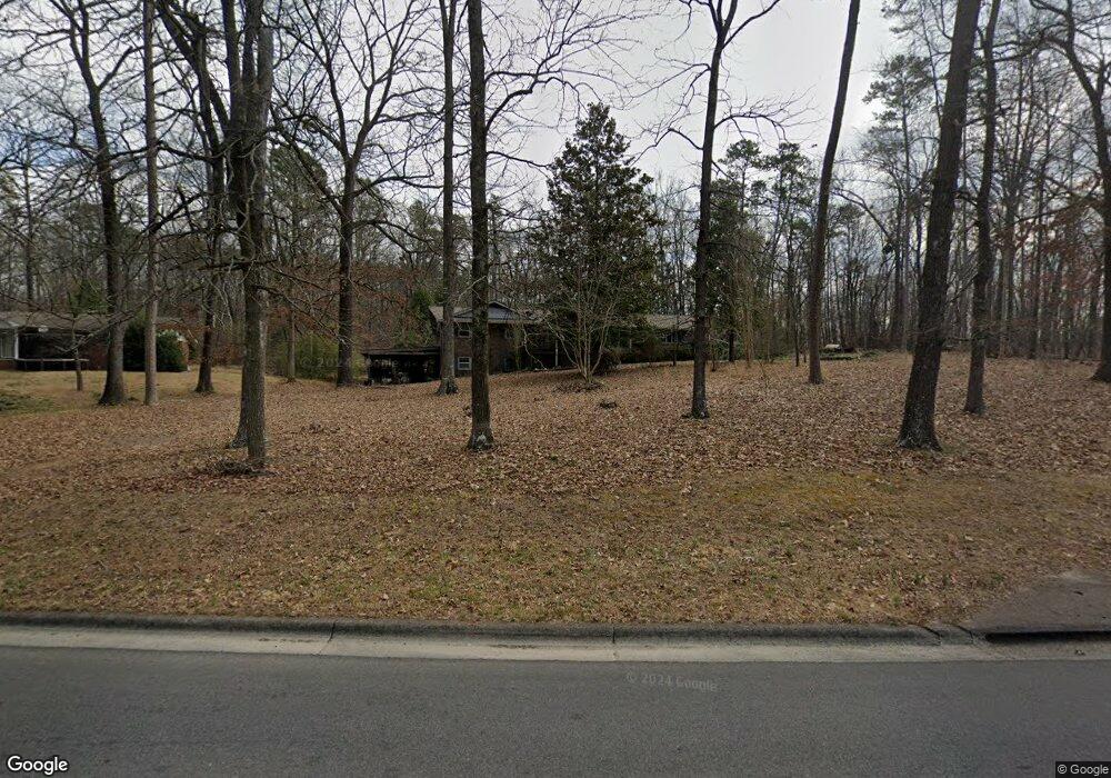
518 Westbrook Rd Dalton, GA 30721
Estimated Value: $154,270 - $301,000
--
Bed
2
Baths
1,493
Sq Ft
$135/Sq Ft
Est. Value
About This Home
This home is located at 518 Westbrook Rd, Dalton, GA 30721 and is currently estimated at $201,318, approximately $134 per square foot. 518 Westbrook Rd is a home located in Whitfield County with nearby schools including Pleasant Grove Elementary School, New Hope Middle School, and Northwest Whitfield County High School.
Ownership History
Date
Name
Owned For
Owner Type
Purchase Details
Closed on
May 21, 2025
Sold by
Jordan Edna Wanda
Bought by
Wilson Jeremy and Wilson Linda
Current Estimated Value
Home Financials for this Owner
Home Financials are based on the most recent Mortgage that was taken out on this home.
Original Mortgage
$150,000
Outstanding Balance
$147,544
Interest Rate
6.62%
Mortgage Type
Seller Take Back
Estimated Equity
$53,774
Purchase Details
Closed on
Dec 8, 2003
Sold by
Wilson Linda Gail Etal
Bought by
Jordan Lewis
Purchase Details
Closed on
Feb 1, 1991
Bought by
Wilson Linda Gail Etal
Create a Home Valuation Report for This Property
The Home Valuation Report is an in-depth analysis detailing your home's value as well as a comparison with similar homes in the area
Home Values in the Area
Average Home Value in this Area
Purchase History
| Date | Buyer | Sale Price | Title Company |
|---|---|---|---|
| Wilson Jeremy | $150,000 | None Listed On Document | |
| Wilson Jeremy | $150,000 | None Listed On Document | |
| Jordan Lewis | -- | -- | |
| Wilson Linda Gail Etal | -- | -- |
Source: Public Records
Mortgage History
| Date | Status | Borrower | Loan Amount |
|---|---|---|---|
| Open | Wilson Jeremy | $150,000 | |
| Closed | Wilson Jeremy | $150,000 |
Source: Public Records
Tax History Compared to Growth
Tax History
| Year | Tax Paid | Tax Assessment Tax Assessment Total Assessment is a certain percentage of the fair market value that is determined by local assessors to be the total taxable value of land and additions on the property. | Land | Improvement |
|---|---|---|---|---|
| 2024 | $482 | $92,974 | $17,934 | $75,040 |
| 2023 | $482 | $64,900 | $6,725 | $58,175 |
| 2022 | $292 | $47,197 | $6,725 | $40,472 |
| 2021 | $292 | $47,197 | $6,725 | $40,472 |
| 2020 | $320 | $47,197 | $6,725 | $40,472 |
| 2019 | $333 | $47,197 | $6,725 | $40,472 |
| 2018 | $340 | $46,645 | $6,173 | $40,472 |
| 2017 | $340 | $46,645 | $6,173 | $40,472 |
| 2016 | $266 | $43,009 | $6,173 | $36,836 |
| 2014 | $180 | $42,375 | $2,407 | $39,968 |
| 2013 | -- | $42,375 | $2,406 | $39,968 |
Source: Public Records
Map
Nearby Homes
- 522 Westbrook Rd
- 439 Westbrook Rd
- 407 Quillian Rd
- 117 Pleasant Hill Dr
- 0 TRACT 5 2nd St
- 2502 E Hillview Dr
- 110 Pinewood Way
- 2201 Cleveland Hwy
- 503 Moore Dr
- 2117 Cleveland Hwy
- 468 Fox Den Cir
- 496 Fox Den Cir
- 482 Fox Den Cir
- 402 Fox Den Cir
- 459 Fox Den Cir
- Salem Plan at Fox Hollow
- Hanover Plan at Fox Hollow
- Freeport Plan at Fox Hollow
- Belhaven Plan at Fox Hollow
- Cali Plan at Fox Hollow
- 521 Westbrook Rd
- 520 Westbrook Rd
- 112 Riderwood Dr
- 515 Westbrook Rd
- 101 Forrest Park Rd
- 114 Riderwood Dr
- 104 Riderwood Place
- 102 Riderwood Place
- 103 Forrest Park Rd
- 105 Forrest Park Rd
- 200 Riderwood Dr
- 101 Riderwood Dr
- 106 Forrest Park Rd
- 105 Riderwood Place
- 107 Forrest Park Rd
- 104 Forrest Park Rd
- 106 Riderwood Dr
- 103 Riderwood Dr
- 102 Forrest Park Rd
- 104 Riderwood Dr