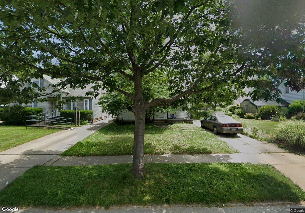
5181 Philip Ave Maple Heights, OH 44137
Estimated Value: $101,293 - $162,000
2
Beds
1
Bath
1,152
Sq Ft
$110/Sq Ft
Est. Value
About This Home
This home is located at 5181 Philip Ave, Maple Heights, OH 44137 and is currently estimated at $126,323, approximately $109 per square foot. 5181 Philip Ave is a home located in Cuyahoga County with nearby schools including Abraham Lincoln Elementary School, Rockside/ J.F. Kennedy School, and Barack Obama School.
Ownership History
Date
Name
Owned For
Owner Type
Purchase Details
Closed on
May 9, 2002
Sold by
Bussema Christopher W and Bussema Tonya M
Bought by
Henderson Gregory D
Current Estimated Value
Home Financials for this Owner
Home Financials are based on the most recent Mortgage that was taken out on this home.
Original Mortgage
$91,464
Outstanding Balance
$39,246
Interest Rate
7.16%
Mortgage Type
FHA
Estimated Equity
$87,077
Purchase Details
Closed on
Oct 12, 1999
Sold by
Holub Robert A
Bought by
Bussema Christopher W and Bussema Tonya M
Home Financials for this Owner
Home Financials are based on the most recent Mortgage that was taken out on this home.
Original Mortgage
$63,500
Interest Rate
7.9%
Purchase Details
Closed on
Jan 1, 1975
Bought by
Holub Jean M
Create a Home Valuation Report for This Property
The Home Valuation Report is an in-depth analysis detailing your home's value as well as a comparison with similar homes in the area
Home Values in the Area
Average Home Value in this Area
Purchase History
| Date | Buyer | Sale Price | Title Company |
|---|---|---|---|
| Henderson Gregory D | $92,900 | City Title Company Agency In | |
| Bussema Christopher W | $71,500 | City Title Company Agency In | |
| Holub Jean M | -- | -- |
Source: Public Records
Mortgage History
| Date | Status | Borrower | Loan Amount |
|---|---|---|---|
| Open | Henderson Gregory D | $91,464 | |
| Previous Owner | Bussema Christopher W | $63,500 |
Source: Public Records
Tax History Compared to Growth
Tax History
| Year | Tax Paid | Tax Assessment Tax Assessment Total Assessment is a certain percentage of the fair market value that is determined by local assessors to be the total taxable value of land and additions on the property. | Land | Improvement |
|---|---|---|---|---|
| 2024 | $3,194 | $35,385 | $7,140 | $28,245 |
| 2023 | $2,209 | $20,410 | $4,340 | $16,070 |
| 2022 | $2,201 | $20,410 | $4,340 | $16,070 |
| 2021 | $2,345 | $20,410 | $4,340 | $16,070 |
| 2020 | $2,008 | $15,470 | $3,290 | $12,180 |
| 2019 | $1,997 | $44,200 | $9,400 | $34,800 |
| 2018 | $1,874 | $15,470 | $3,290 | $12,180 |
| 2017 | $1,906 | $14,390 | $3,010 | $11,380 |
| 2016 | $1,844 | $14,390 | $3,010 | $11,380 |
| 2015 | $1,842 | $14,390 | $3,010 | $11,380 |
| 2014 | $1,842 | $15,830 | $3,330 | $12,500 |
Source: Public Records
Map
Nearby Homes
- 5231 Philip Ave
- 5257 Philip Ave
- 5185 Clement Ave
- 5110 Philip Ave
- 5212 Catherine St
- 5208 Clement Ave
- 5082 Philip Ave
- 5199 Arch St
- 5239 Arch St
- 5061 Philip Ave
- 5320 Clement Ave
- 5234 Erwin St
- 5031 Cato St
- 17916 North Blvd
- 17912 North Blvd
- 5210 Theodore St
- 17204 Maple Heights Blvd
- 5425 Grasmere Ave
- 5247 Henry St
- 16712 Kollin Ave
- 5177 Philip Ave
- 5203 Philip Ave
- 5173 Philip Ave
- 5171 Philip Ave
- 5207 Philip Ave
- 5182 Thomas St
- 5178 Thomas St
- 5186 Thomas St
- 5174 Thomas St
- 5202 Thomas St
- 5167 Philip Ave
- 5211 Philip Ave
- 5170 Thomas St
- 5206 Thomas St
- 5182 Philip Ave
- 5178 Philip Ave
- 5188 Philip Ave
- 5163 Philip Ave
- 5215 Philip Ave
- 5204 Philip Ave