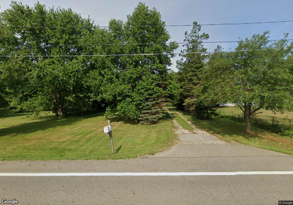
5181 State Route 7 Burghill, OH 44404
Estimated Value: $143,000 - $180,000
4
Beds
2
Baths
1,232
Sq Ft
$133/Sq Ft
Est. Value
About This Home
This home is located at 5181 State Route 7, Burghill, OH 44404 and is currently estimated at $164,306, approximately $133 per square foot. 5181 State Route 7 is a home located in Trumbull County with nearby schools including Badger Elementary School, Badger Middle School, and Badger High School.
Ownership History
Date
Name
Owned For
Owner Type
Purchase Details
Closed on
Apr 16, 2015
Sold by
Fannie Mae
Bought by
Shay William
Current Estimated Value
Purchase Details
Closed on
Nov 12, 2014
Sold by
Mintern Paren E and First Place Bank
Bought by
Fannie Mae and Federal National Mortgage Association
Purchase Details
Closed on
Jun 18, 1996
Sold by
Foltz Ronald L
Bought by
Mintern Lawrence E and Mintern Joeann P
Purchase Details
Closed on
Jan 1, 1990
Bought by
Donald L Foltz
Create a Home Valuation Report for This Property
The Home Valuation Report is an in-depth analysis detailing your home's value as well as a comparison with similar homes in the area
Home Values in the Area
Average Home Value in this Area
Purchase History
| Date | Buyer | Sale Price | Title Company |
|---|---|---|---|
| Shay William | -- | Ohio Title Corp | |
| Fannie Mae | $34,000 | None Available | |
| Mintern Lawrence E | $27,500 | -- | |
| Donald L Foltz | -- | -- |
Source: Public Records
Tax History Compared to Growth
Tax History
| Year | Tax Paid | Tax Assessment Tax Assessment Total Assessment is a certain percentage of the fair market value that is determined by local assessors to be the total taxable value of land and additions on the property. | Land | Improvement |
|---|---|---|---|---|
| 2024 | $1,895 | $44,840 | $4,660 | $40,180 |
| 2023 | $1,895 | $44,840 | $4,660 | $40,180 |
| 2022 | $1,674 | $35,780 | $4,240 | $31,540 |
| 2021 | $1,674 | $35,780 | $4,240 | $31,540 |
| 2020 | $1,686 | $35,780 | $4,240 | $31,540 |
| 2019 | $1,625 | $32,590 | $3,920 | $28,670 |
| 2018 | $1,577 | $32,590 | $3,920 | $28,670 |
| 2017 | $1,607 | $32,590 | $3,920 | $28,670 |
| 2016 | $1,529 | $31,230 | $3,540 | $27,690 |
| 2015 | $1,531 | $31,290 | $3,570 | $27,720 |
| 2014 | $1,498 | $31,290 | $3,570 | $27,720 |
| 2013 | $1,575 | $31,290 | $3,570 | $27,720 |
Source: Public Records
Map
Nearby Homes
- 5955 Bushnell Campbell Rd
- 6261 State Route 88
- 6027 Ohio 88
- 6521 State Route 7
- 5871 Everett Hull Rd
- 0 Warner Rd
- 7965 State Route 609
- 8084 State Route 609
- 7529 State Line
- 6899 Orangeville Kinsman Rd
- 7785 Jewell Greenville Rd
- 3164 Ohio 7
- 69 S Summit Rd Unit 513
- 69 S Summit Rd Unit 205
- 73 S Summit Rd Unit 510
- 6498 Stoddard Hayes Rd
- 69 S Summit Unit 102
- 0 Youngstown Kingsville Rd
- 7155 Drake State Line Rd
- 40 Bradley Brownlee Rd
- 5181 Youngstown Conneaut Rd
- 5203 State Route 7
- 5195 State Route 7
- 5219 State Route 7
- 5167 State Route 7
- 5167 Youngstown Conneaut Rd
- 5190 State Route 7
- 5227 State Route 7
- 5176 State Route 7
- 5204 Youngstown Conneaut Rd
- 5166 State Route 7
- 5232 State Route 7
- 5140 State Route 7
- 5247 State Route 7
- 5134 State Route 7
- 5063 State Route 7
- 5275 State Route 7
- 6980 Oak St
- 5043 Ohio 7
- 7010 Oak St