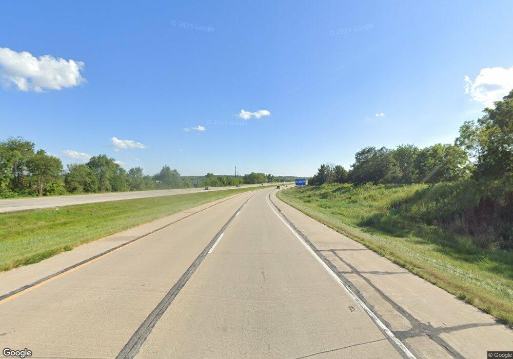
5184 Highway 65 69 Carlisle, IA 50047
Warren County NeighborhoodEstimated Value: $410,000 - $558,000
4
Beds
4
Baths
1,818
Sq Ft
$251/Sq Ft
Est. Value
About This Home
This home is located at 5184 Highway 65 69, Carlisle, IA 50047 and is currently estimated at $456,550, approximately $251 per square foot. 5184 Highway 65 69 is a home with nearby schools including Indianola High School.
Ownership History
Date
Name
Owned For
Owner Type
Purchase Details
Closed on
Jul 18, 2022
Sold by
Patrick Mckee John and Patrick Martha I
Bought by
Mckee Mark A
Current Estimated Value
Purchase Details
Closed on
Jul 15, 2022
Sold by
Carolyn A Mckee Revocable Trust
Bought by
Mckee Mark A and Mckee John P
Purchase Details
Closed on
Jan 4, 2022
Sold by
Mckee Carolyn A
Bought by
Carolyn A Mckee Trust
Create a Home Valuation Report for This Property
The Home Valuation Report is an in-depth analysis detailing your home's value as well as a comparison with similar homes in the area
Home Values in the Area
Average Home Value in this Area
Purchase History
| Date | Buyer | Sale Price | Title Company |
|---|---|---|---|
| Mckee Mark A | $1,500,000 | None Listed On Document | |
| Mckee Mark A | -- | None Listed On Document | |
| Carolyn A Mckee Trust | -- | -- |
Source: Public Records
Tax History Compared to Growth
Tax History
| Year | Tax Paid | Tax Assessment Tax Assessment Total Assessment is a certain percentage of the fair market value that is determined by local assessors to be the total taxable value of land and additions on the property. | Land | Improvement |
|---|---|---|---|---|
| 2025 | $3,924 | $296,300 | $2,500 | $293,800 |
| 2024 | $3,884 | $298,900 | $1,700 | $297,200 |
| 2023 | $3,706 | $298,900 | $1,700 | $297,200 |
| 2022 | $3,672 | $246,300 | $1,300 | $245,000 |
| 2021 | $3,700 | $246,400 | $1,400 | $245,000 |
| 2020 | $3,700 | $230,800 | $1,500 | $229,300 |
| 2019 | $3,568 | $230,800 | $1,500 | $229,300 |
| 2018 | $3,646 | $0 | $0 | $0 |
| 2017 | $3,406 | $0 | $0 | $0 |
| 2016 | $3,326 | $199,700 | $0 | $0 |
| 2015 | $3,326 | $0 | $0 | $0 |
| 2014 | $3,364 | $203,400 | $0 | $0 |
Source: Public Records
Map
Nearby Homes
- 13069 Garst Trail
- 0 151st Ln Unit 66608
- 0 151st Ln Unit 66607
- 0 151st Ln Unit 712272
- 0 151st Ln Unit 712247
- 0 151st Ln Unit 66605
- 0 151st Ln Unit 712244
- 0 151st Ln Unit 66604
- 0 151st Ln Unit 66603
- 0 151st Ln Unit 712240
- 0 151st Ln Unit 712237
- 0 151st Ln Unit 66602
- 0 151st Ln Unit 712232
- 0 113th Ave
- 00 113th Ave
- 00 151st Ln
- 10980 Cleveland Trail
- 5058 105th Ave
- 5444 154th Ave
- 15018 Scotch Ridge Rd
- 13196 Denver Trail
- 13090 Denver Trail
- 13146 Denver Trail
- 13289 Elk Horn St
- 13258 Denver Trail
- 13331 Elk Horn St
- - Denver Trail Plat 2 Lot 9
- 0 Denver Trail Plat 2 Lot 6
- 13272 Denver Trail
- 13167 Denver Trail
- 0 Denver Trail Unit 404626
- 0 Denver Trail Unit 421370
- 0 Denver Trail
- 13041 Denver Trail
- 0000 Denver Trail-Hawthorn Hills Plat 2 Lot 6
- 13398 Denver Trail
- 4598 Highway 65 69
- 13209 Denver Trail
- 13261 Denver Trail
- 13166 Delaware St
