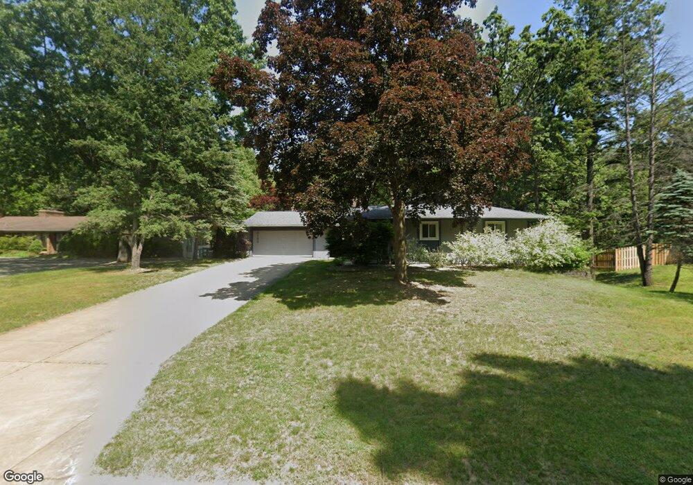
5186 Burning Tree Rd Kalamazoo, MI 49009
Estimated Value: $420,056 - $456,000
5
Beds
4
Baths
3,800
Sq Ft
$115/Sq Ft
Est. Value
About This Home
This home is located at 5186 Burning Tree Rd, Kalamazoo, MI 49009 and is currently estimated at $435,764, approximately $114 per square foot. 5186 Burning Tree Rd is a home located in Kalamazoo County with nearby schools including 12th Street Elementary School, Portage West Middle School, and Portage Central High School.
Ownership History
Date
Name
Owned For
Owner Type
Purchase Details
Closed on
Aug 6, 2021
Sold by
Pidgeon Patricia A and Pidgeon Mark A
Bought by
Pidgeon Daniel and Pidgeon Patricia A
Current Estimated Value
Purchase Details
Closed on
Jul 29, 2011
Sold by
Saba Betty F
Bought by
Pidgeon Mark A and Pidgeon Patricia A
Home Financials for this Owner
Home Financials are based on the most recent Mortgage that was taken out on this home.
Original Mortgage
$158,400
Outstanding Balance
$109,521
Interest Rate
4.54%
Mortgage Type
New Conventional
Estimated Equity
$326,243
Create a Home Valuation Report for This Property
The Home Valuation Report is an in-depth analysis detailing your home's value as well as a comparison with similar homes in the area
Home Values in the Area
Average Home Value in this Area
Purchase History
| Date | Buyer | Sale Price | Title Company |
|---|---|---|---|
| Pidgeon Daniel | -- | None Available | |
| Pidgeon Mark A | $176,000 | Chicago Title |
Source: Public Records
Mortgage History
| Date | Status | Borrower | Loan Amount |
|---|---|---|---|
| Open | Pidgeon Mark A | $158,400 |
Source: Public Records
Tax History Compared to Growth
Tax History
| Year | Tax Paid | Tax Assessment Tax Assessment Total Assessment is a certain percentage of the fair market value that is determined by local assessors to be the total taxable value of land and additions on the property. | Land | Improvement |
|---|---|---|---|---|
| 2025 | $4,827 | $172,800 | $0 | $0 |
| 2024 | $1,403 | $161,400 | $0 | $0 |
| 2023 | $1,338 | $148,300 | $0 | $0 |
| 2022 | $4,384 | $133,700 | $0 | $0 |
| 2021 | $4,260 | $126,200 | $0 | $0 |
| 2020 | $4,160 | $124,000 | $0 | $0 |
| 2019 | $3,805 | $120,700 | $0 | $0 |
| 2018 | $2,343 | $121,300 | $0 | $0 |
| 2017 | -- | $121,700 | $0 | $0 |
| 2016 | -- | $117,400 | $0 | $0 |
| 2015 | -- | $104,600 | $10,500 | $94,100 |
| 2014 | -- | $104,600 | $0 | $0 |
Source: Public Records
Map
Nearby Homes
- 7566 Cobblewood Dr
- 4788 Norfolk Cir
- 7873 Shepherds Glen Ct
- 7296 Annandale Dr
- 5464 Cypress Bay Dr
- 7175 Hopkinton Dr
- 7895 Deerpath Rd
- 7337 Roslindale Trail
- 5660 Saddle Club Dr
- 7951 S 12th St
- 6971 Annandale Dr
- 5804 Boxthorn Trail
- 5661 Attleberry Ave
- 5825 Saddle Club Dr
- 5420 Whippoorwill Dr
- 5850 Dunwoody Ct
- 6787 Tiger Lily Dr Unit 55
- 6794 Brickleton Ct
- 6782 Southwind St Unit 68
- 5189 Queen Victoria Ln
- 5176 Burning Tree Rd
- 5196 Burning Tree Rd
- 5166 Burning Tree Rd
- 5190 Burning Tree Rd
- 5193 Burning Tree Rd
- 7440 Thrasher Ln
- 5173 Burning Tree Rd
- 5175 Stoney Brook Rd
- 5163 Burning Tree Rd
- 7426 Thrasher Ln
- 5156 Burning Tree Rd
- 7466 Thrasher Ln
- 5273 Stoney Brook Rd
- 5132 Thrasher Ct
- 5151 Stoney Brook Rd
- 5140 Thrasher Ct
- 5153 Burning Tree Rd
- 7547 Hunters Ridge Dr
- 5222 Burning Tree Rd
- 7404 Thrasher Ln