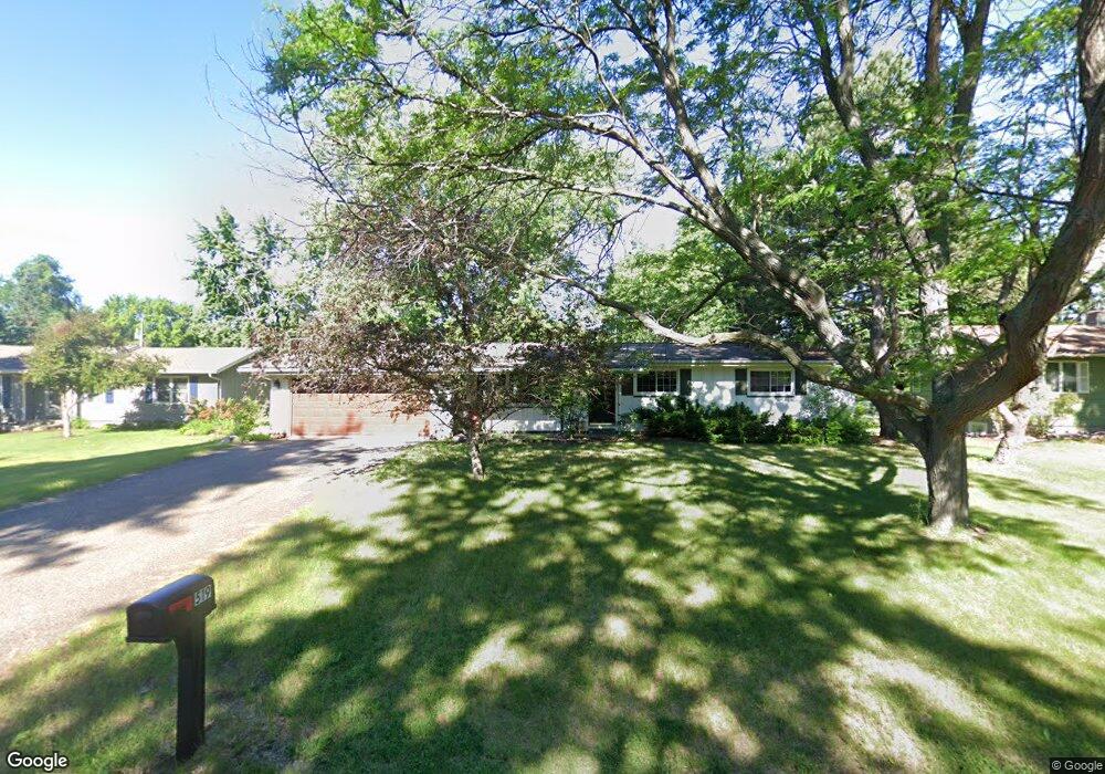
519 10th St N Hudson, WI 54016
Estimated Value: $336,000 - $400,000
3
Beds
2
Baths
--
Sq Ft
0.32
Acres
About This Home
This home is located at 519 10th St N, Hudson, WI 54016 and is currently estimated at $363,707. 519 10th St N is a home located in St. Croix County with nearby schools including North Hudson Elementary School, Hudson Middle School, and Hudson High School.
Ownership History
Date
Name
Owned For
Owner Type
Purchase Details
Closed on
Sep 30, 2010
Sold by
Gerlach Suzanne M and Freiermuth Allen R
Bought by
Madlung Cindy
Current Estimated Value
Home Financials for this Owner
Home Financials are based on the most recent Mortgage that was taken out on this home.
Original Mortgage
$184,230
Outstanding Balance
$121,263
Interest Rate
4.3%
Mortgage Type
New Conventional
Estimated Equity
$242,444
Create a Home Valuation Report for This Property
The Home Valuation Report is an in-depth analysis detailing your home's value as well as a comparison with similar homes in the area
Home Values in the Area
Average Home Value in this Area
Purchase History
| Date | Buyer | Sale Price | Title Company |
|---|---|---|---|
| Madlung Cindy | $178,000 | All American Title Co Inc |
Source: Public Records
Mortgage History
| Date | Status | Borrower | Loan Amount |
|---|---|---|---|
| Open | Madlung Cindy | $184,230 |
Source: Public Records
Tax History Compared to Growth
Tax History
| Year | Tax Paid | Tax Assessment Tax Assessment Total Assessment is a certain percentage of the fair market value that is determined by local assessors to be the total taxable value of land and additions on the property. | Land | Improvement |
|---|---|---|---|---|
| 2024 | $36 | $283,500 | $67,600 | $215,900 |
| 2023 | $3,571 | $283,500 | $67,600 | $215,900 |
| 2022 | $3,246 | $283,500 | $67,600 | $215,900 |
| 2021 | $3,224 | $167,500 | $38,200 | $129,300 |
| 2020 | $3,092 | $167,500 | $38,200 | $129,300 |
| 2019 | $2,893 | $167,500 | $38,200 | $129,300 |
| 2018 | $2,902 | $167,500 | $38,200 | $129,300 |
| 2017 | $2,791 | $167,500 | $38,200 | $129,300 |
| 2016 | $2,791 | $167,500 | $38,200 | $129,300 |
| 2015 | $2,578 | $167,500 | $38,200 | $129,300 |
| 2014 | $2,554 | $167,500 | $38,200 | $129,300 |
| 2013 | $2,574 | $170,700 | $42,800 | $127,900 |
Source: Public Records
Map
Nearby Homes
- 603 10th St N
- 627 8th St N
- 1100 Michaelson St N
- 606 6th St N
- 412 Helen St N
- 888 Bluebird Ct N
- 1110 Partridge Ln N
- 1115 Willow River Rd N
- 702 4th St N
- 1205 Riverside Dr N
- 1205 Riverside Drive N
- 621 Mallalieu Dr
- 1302 4th St
- 241 Starrwood
- 1303 3rd St
- 1302 10th St N
- 1116 8th St
- 1026 3rd St
- 1031 2nd St
- 1109 Saint Croix Heights
- 521 10th St N
- 517 10th St N
- 548 Lemon St N
- 552 Lemon St N
- 523 10th St N
- 520 10th St N
- 556 Lemon St N
- 902 Michaelson St N
- 522 10th St N
- 518 10th St N
- 515 10th St N
- 536 Lemon St N
- 1010 Michaelson St N
- 514 10th St N
- 516 10th St N
- 549 Lemon St N
- 549 & 553 Lemon St N
- 532 Lemon St N
- 543 Lemon St N
- 553 Lemon St N