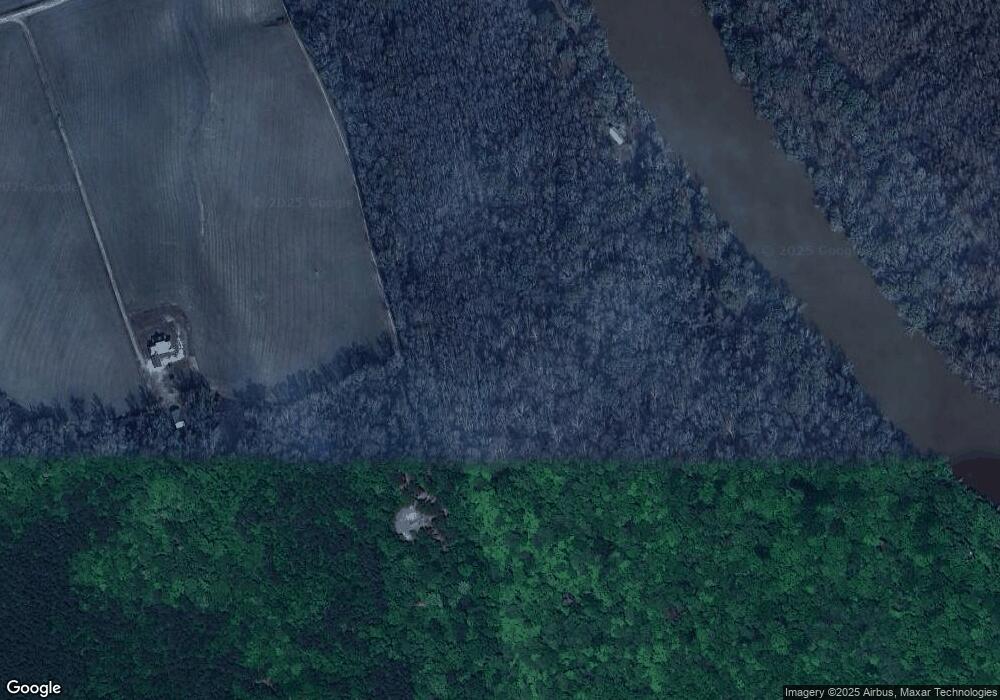
519 Charles Ln Springfield, GA 31329
Estimated Value: $94,872 - $359,000
--
Bed
--
Bath
289
Sq Ft
$785/Sq Ft
Est. Value
About This Home
This home is located at 519 Charles Ln, Springfield, GA 31329 and is currently estimated at $226,936, approximately $785 per square foot. 519 Charles Ln is a home with nearby schools including Ebenezer Elementary School, Ebenezer Middle School, and Effingham County High School.
Ownership History
Date
Name
Owned For
Owner Type
Purchase Details
Closed on
Oct 28, 2014
Sold by
Trust For Public Land /Tr
Bought by
City Of Springfield Georgia
Current Estimated Value
Purchase Details
Closed on
Oct 20, 2014
Sold by
Ebenezer Investment Co
Bought by
Trust For Public Land
Purchase Details
Closed on
Mar 14, 2013
Sold by
Seckinger Charlie G
Bought by
Seckinger Karen E
Purchase Details
Closed on
Jul 24, 1998
Bought by
Seckinger Charlie G
Create a Home Valuation Report for This Property
The Home Valuation Report is an in-depth analysis detailing your home's value as well as a comparison with similar homes in the area
Home Values in the Area
Average Home Value in this Area
Purchase History
| Date | Buyer | Sale Price | Title Company |
|---|---|---|---|
| City Of Springfield Georgia | $500,000 | -- | |
| Trust For Public Land | $500,000 | -- | |
| Seckinger Karen E | -- | -- | |
| Seckinger Charlie G | -- | -- |
Source: Public Records
Tax History Compared to Growth
Tax History
| Year | Tax Paid | Tax Assessment Tax Assessment Total Assessment is a certain percentage of the fair market value that is determined by local assessors to be the total taxable value of land and additions on the property. | Land | Improvement |
|---|---|---|---|---|
| 2024 | $558 | $21,617 | $9,131 | $12,486 |
| 2023 | $456 | $19,669 | $9,131 | $10,538 |
| 2022 | $476 | $19,669 | $9,131 | $10,538 |
| 2021 | $481 | $19,675 | $9,131 | $10,544 |
| 2020 | $455 | $19,351 | $9,131 | $10,220 |
| 2019 | $452 | $19,351 | $9,131 | $10,220 |
| 2018 | $444 | $18,886 | $9,131 | $9,755 |
| 2017 | $665 | $19,104 | $9,131 | $9,973 |
| 2016 | $130 | $4,527 | $4,527 | $0 |
| 2015 | -- | $4,527 | $4,527 | $0 |
| 2014 | -- | $4,527 | $4,527 | $0 |
| 2013 | -- | $4,527 | $4,527 | $0 |
Source: Public Records
Map
Nearby Homes
- 0 Charles Ln
- 128 Seines Landing Dr
- 130 Seines Landing Dr
- 0 Seines Landing Dr
- 818 High Bluff Rd
- 595 High Bluff Rd
- 104 Monterey Dr
- 209 High Bluff Rd
- 131 High Bluff Rd
- 314 Lamons Dr
- 545 Wylly Rd
- 1948 Ebenezer Rd
- 1117 Stillwell Clyo Rd
- 210 Middle Creek Rd
- 0 Stillwell Clyo Rd Unit SA340237
- 1443 Ebenezer Rd
- 1282 Long Bridge Rd
- 315 Lillian St
- 154 Cubbedge Dr
- 160 Cubbedge Dr
