519 Dayton Rd Winsted, CT 06098
Estimated Value: $486,307 - $677,000
4
Beds
2
Baths
2,819
Sq Ft
$198/Sq Ft
Est. Value
About This Home
This home is located at 519 Dayton Rd, Winsted, CT 06098 and is currently estimated at $557,102, approximately $197 per square foot. 519 Dayton Rd is a home located in Litchfield County with nearby schools including Pearson School.
Ownership History
Date
Name
Owned For
Owner Type
Purchase Details
Closed on
Sep 20, 2021
Sold by
Dutton Richard P
Bought by
Dutton Ft and Dutton
Current Estimated Value
Purchase Details
Closed on
Jan 29, 2019
Sold by
Dutton Timothy J
Bought by
Dutton Richard F
Purchase Details
Closed on
Jun 1, 2017
Sold by
Dutton Sarah P
Bought by
Dutton Timothy J and Dutton Richard P
Purchase Details
Closed on
Jul 1, 1970
Bought by
Dutton Sarah P
Create a Home Valuation Report for This Property
The Home Valuation Report is an in-depth analysis detailing your home's value as well as a comparison with similar homes in the area
Home Values in the Area
Average Home Value in this Area
Purchase History
| Date | Buyer | Sale Price | Title Company |
|---|---|---|---|
| Dutton Ft | -- | None Available | |
| Dutton Ft | -- | None Available | |
| Dutton Richard F | $8,000 | -- | |
| Dutton Timothy J | $415,000 | -- | |
| Dutton Timothy J | $415,000 | -- | |
| Dutton Sarah P | -- | -- |
Source: Public Records
Tax History
| Year | Tax Paid | Tax Assessment Tax Assessment Total Assessment is a certain percentage of the fair market value that is determined by local assessors to be the total taxable value of land and additions on the property. | Land | Improvement |
|---|---|---|---|---|
| 2025 | $8,508 | $291,660 | $62,340 | $229,320 |
| 2024 | $7,792 | $286,060 | $62,340 | $223,720 |
| 2023 | $7,549 | $286,060 | $62,340 | $223,720 |
| 2022 | $6,216 | $185,330 | $48,760 | $136,570 |
| 2021 | $6,166 | $183,830 | $47,260 | $136,570 |
| 2020 | $6,166 | $183,830 | $47,260 | $136,570 |
| 2019 | $6,166 | $183,830 | $47,260 | $136,570 |
| 2018 | $6,166 | $183,830 | $47,260 | $136,570 |
| 2017 | $5,883 | $175,400 | $47,440 | $127,960 |
| 2016 | $5,883 | $175,400 | $47,440 | $127,960 |
| 2015 | $5,736 | $175,400 | $47,440 | $127,960 |
| 2014 | $5,597 | $175,400 | $47,440 | $127,960 |
Source: Public Records
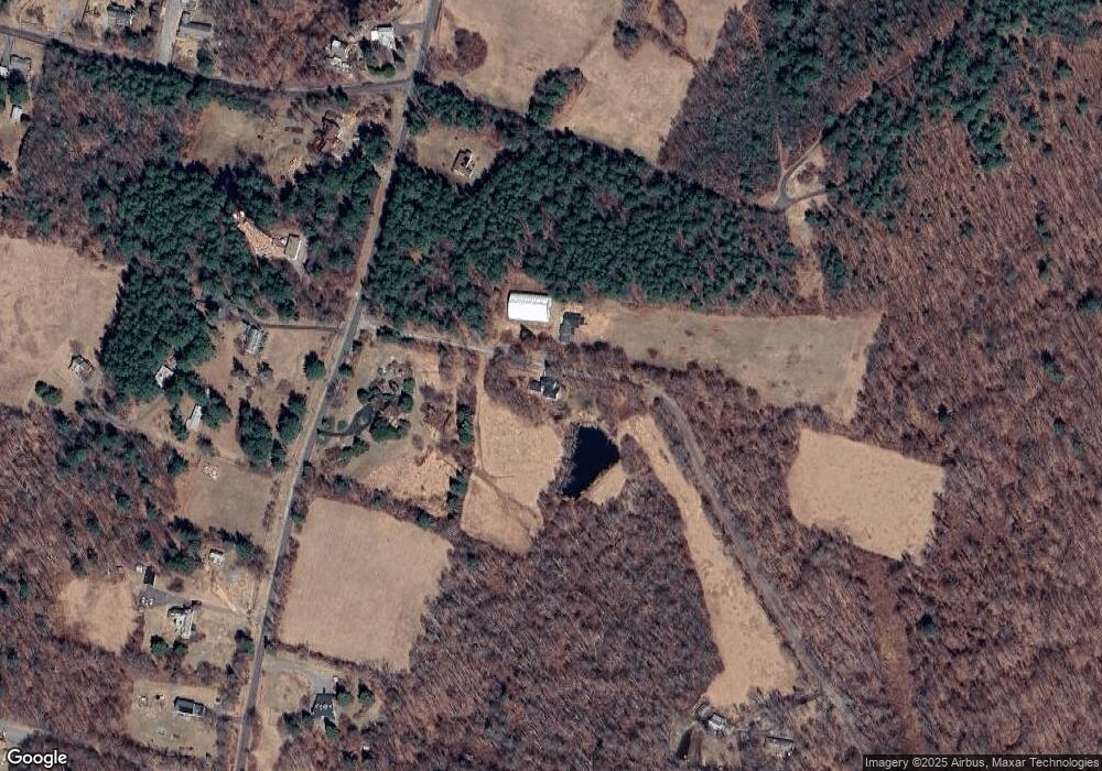
Map
Nearby Homes
- 469 Platt Hill Rd
- 00 Chapel Rd
- 431 W Wakefield Blvd
- 105,107 E Mountain Rd
- 393 Winchester Rd
- 843-845 (lots - 10A, E Wakefield Blvd
- 605 E Wakefield Blvd
- 621 Wynne Rd
- 330 Ledge Dr
- 351 Platt Hill Rd
- 207 Ledge Dr
- 28 Evergreen Rd
- 65 Woodside Cir Unit 65
- 174 Ledge Dr
- 473 Evergreen Rd
- 215 Ledge Dr
- 239 Ledge Dr
- 225 Ledge Dr
- 319 Cliffside Dr
- 274 Cliffside Dr Unit 274
- 449 Dayton Rd
- 437 Platt Hill Rd
- 441 Platt Hill Rd
- 441 Platt Hill Rd
- 441 Platt Hill Rd Unit RD
- 435 Platt Hill Rd
- 433 Platt Hill Rd
- 426 Platt Hill Rd
- 449 Platt Hill Rd
- 446 Platt Hill Rd
- 424 Platt Hill Rd
- 442 Platt Hill Rd
- 451 Platt Hill Rd
- 425 Platt Hill Rd
- 102 Chapel Rd
- 444 Platt Hill Rd
- 450 Platt Hill Rd
- 423 Platt Hill Rd
- 107 Chapel Rd
- 457 Platt Hill Rd
Your Personal Tour Guide
Ask me questions while you tour the home.