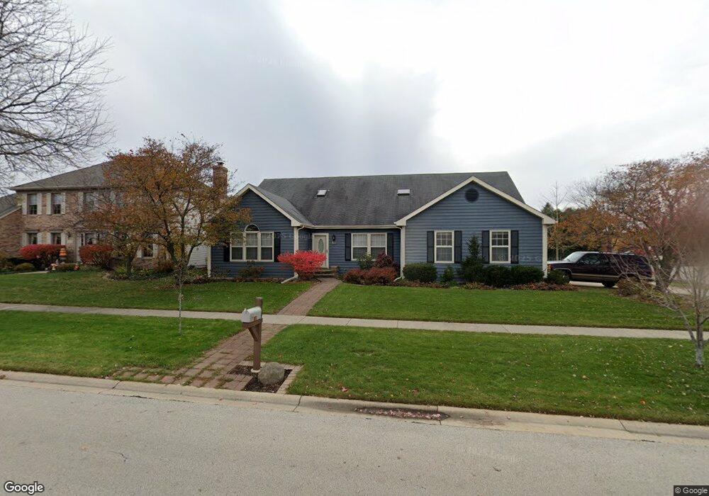
519 Dempsey Place Unit 4 Geneva, IL 60134
Northwest Central Geneva NeighborhoodEstimated Value: $490,109 - $583,000
3
Beds
2
Baths
2,042
Sq Ft
$266/Sq Ft
Est. Value
About This Home
This home is located at 519 Dempsey Place Unit 4, Geneva, IL 60134 and is currently estimated at $543,277, approximately $266 per square foot. 519 Dempsey Place Unit 4 is a home located in Kane County with nearby schools including Williamsburg Elementary School, Geneva Community High School, and Kensington School - Geneva.
Ownership History
Date
Name
Owned For
Owner Type
Purchase Details
Closed on
Apr 19, 1999
Sold by
Phelps Lolita
Bought by
Wojtas William A
Current Estimated Value
Home Financials for this Owner
Home Financials are based on the most recent Mortgage that was taken out on this home.
Original Mortgage
$110,000
Interest Rate
7.17%
Create a Home Valuation Report for This Property
The Home Valuation Report is an in-depth analysis detailing your home's value as well as a comparison with similar homes in the area
Home Values in the Area
Average Home Value in this Area
Purchase History
| Date | Buyer | Sale Price | Title Company |
|---|---|---|---|
| Wojtas William A | $227,000 | Chicago Title Insurance Co |
Source: Public Records
Mortgage History
| Date | Status | Borrower | Loan Amount |
|---|---|---|---|
| Closed | Wojtas William A | $110,000 |
Source: Public Records
Tax History Compared to Growth
Tax History
| Year | Tax Paid | Tax Assessment Tax Assessment Total Assessment is a certain percentage of the fair market value that is determined by local assessors to be the total taxable value of land and additions on the property. | Land | Improvement |
|---|---|---|---|---|
| 2024 | $9,236 | $135,940 | $37,956 | $97,984 |
| 2023 | $8,859 | $123,581 | $34,505 | $89,076 |
| 2022 | $8,701 | $114,831 | $32,062 | $82,769 |
| 2021 | $8,426 | $110,563 | $30,870 | $79,693 |
| 2020 | $8,318 | $108,876 | $30,399 | $78,477 |
| 2019 | $8,286 | $106,814 | $29,823 | $76,991 |
| 2018 | $8,110 | $104,892 | $29,823 | $75,069 |
| 2017 | $8,004 | $102,095 | $29,028 | $73,067 |
| 2016 | $7,931 | $99,534 | $28,636 | $70,898 |
| 2015 | -- | $94,632 | $27,226 | $67,406 |
| 2014 | -- | $94,632 | $27,226 | $67,406 |
| 2013 | -- | $94,632 | $27,226 | $67,406 |
Source: Public Records
Map
Nearby Homes
- 560 Renee Ct
- 602 Highbury Ln
- 231 N Cambridge Dr
- 1336-1338 S 14th St
- 1330-1332 S 14th St
- 2749 Stone Cir
- 2753 Stone Cir
- 2747 Stone Cir
- 2751 Stone Cir
- 1108 S 12th St Unit 2
- 806 Fellows St
- 51 Burgess Rd
- 1736 Kaneville Rd
- 2692 Stone Cir Unit 203
- 2671 Stone Cir Unit 208
- 2731 Stone Cir
- 2771 Stone Cir
- 2767 Stone Cir
- 629 N Lincoln Ave
- 1211 James St
- 521 Dempsey Place
- 549 Dempsey Place
- 545 Dempsey Place
- 525 Dempsey Place
- 1961 Blackberry Dr
- 1898 Blackberry Dr
- 1943 Blackberry Dr
- 541 Dempsey Place
- 1987 Blackberry Dr
- 522 Dempsey Place
- 537 Dempsey Place
- 1885 Blackberry Dr
- 2021 Blackberry Dr
- 535 Dempsey Place Unit 4
- 550 Dempsey Place
- 524 Dempsey Place
- 548 Dempsey Place
- 2053 Blackberry Dr
- 528 Dempsey Place
- 544 Dempsey Place