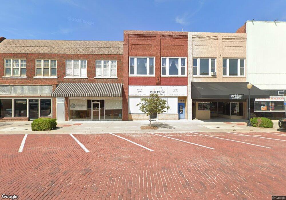
519 N State Augusta, KS 67010
Studio
--
Bath
5,000
Sq Ft
6,098
Sq Ft Lot
About This Home
This home is located at 519 N State, Augusta, KS 67010. 519 N State is a home located in Butler County with nearby schools including Augusta Senior High School and St. James Catholic School.
Ownership History
Date
Name
Owned For
Owner Type
Purchase Details
Closed on
Mar 4, 2022
Sold by
Denslow Christina
Bought by
Dambrosio
Purchase Details
Closed on
Nov 30, 2021
Sold by
Huckins Henry A and Huckins Henry
Bought by
Denslow Christina and Huckins Christina
Purchase Details
Closed on
Feb 20, 2020
Sold by
Peters Brad
Bought by
Huckins Henry and Huckins Christina
Home Financials for this Owner
Home Financials are based on the most recent Mortgage that was taken out on this home.
Original Mortgage
$130,000
Interest Rate
3.6%
Mortgage Type
Future Advance Clause Open End Mortgage
Purchase Details
Closed on
May 1, 2019
Sold by
Lola Jo By Brandi Llc
Bought by
Peters Brad
Create a Home Valuation Report for This Property
The Home Valuation Report is an in-depth analysis detailing your home's value as well as a comparison with similar homes in the area
Home Values in the Area
Average Home Value in this Area
Purchase History
| Date | Buyer | Sale Price | Title Company |
|---|---|---|---|
| Dambrosio | -- | Kansas Secured Title | |
| Denslow Christina | -- | None Available | |
| Huckins Henry | -- | None Available | |
| Peters Brad | -- | Security 1St Title |
Source: Public Records
Mortgage History
| Date | Status | Borrower | Loan Amount |
|---|---|---|---|
| Previous Owner | Huckins Henry | $130,000 |
Source: Public Records
Tax History Compared to Growth
Tax History
| Year | Tax Paid | Tax Assessment Tax Assessment Total Assessment is a certain percentage of the fair market value that is determined by local assessors to be the total taxable value of land and additions on the property. | Land | Improvement |
|---|---|---|---|---|
| 2025 | $53 | $36,297 | $1,949 | $34,348 |
| 2024 | $53 | $33,912 | $1,197 | $32,715 |
| 2023 | $5,203 | $32,640 | $1,197 | $31,443 |
| 2022 | $3,001 | $23,792 | $1,197 | $22,595 |
| 2021 | $3,001 | $23,380 | $1,197 | $22,183 |
| 2020 | $3,348 | $19,786 | $1,197 | $18,589 |
| 2019 | $3,001 | $17,448 | $1,267 | $16,181 |
| 2018 | $2,664 | $15,559 | $1,402 | $14,157 |
| 2017 | $2,598 | $15,098 | $1,540 | $13,558 |
| 2014 | -- | $68,010 | $6,190 | $61,820 |
Source: Public Records
Map
Nearby Homes