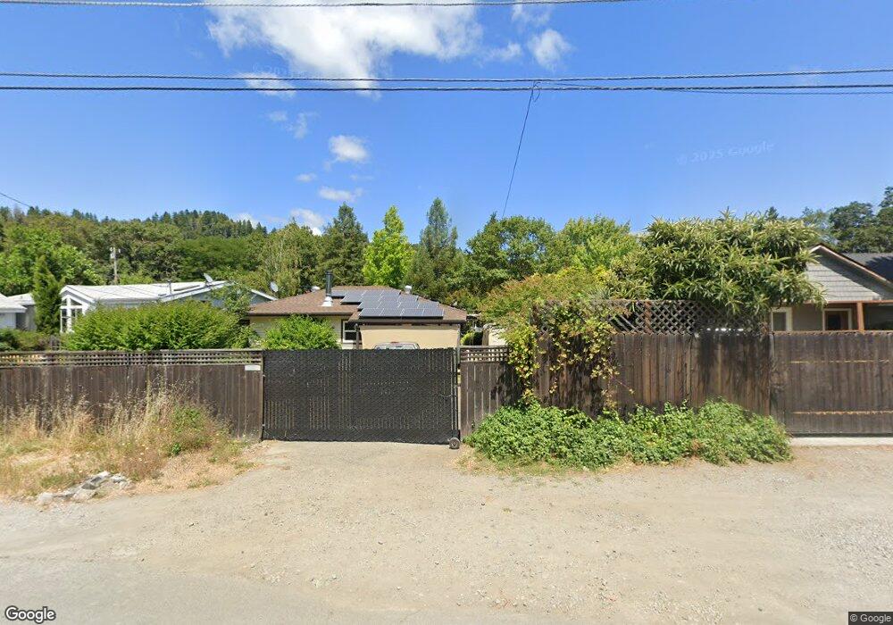
519 Par Ave Redway, CA 95560
Redway NeighborhoodEstimated Value: $293,000 - $355,000
2
Beds
1
Bath
690
Sq Ft
$470/Sq Ft
Est. Value
About This Home
This home is located at 519 Par Ave, Redway, CA 95560 and is currently estimated at $324,103, approximately $469 per square foot. 519 Par Ave is a home located in Humboldt County.
Ownership History
Date
Name
Owned For
Owner Type
Purchase Details
Closed on
Nov 20, 2006
Sold by
Battles Noah and Battles Mandi
Bought by
Battles Noah and Battles Mandi
Current Estimated Value
Home Financials for this Owner
Home Financials are based on the most recent Mortgage that was taken out on this home.
Original Mortgage
$213,000
Outstanding Balance
$127,121
Interest Rate
6.37%
Mortgage Type
New Conventional
Estimated Equity
$196,982
Purchase Details
Closed on
Dec 27, 2004
Sold by
Wiley Deborah Lauffer and The Jeanetty M Lauffer Trust
Bought by
Battles Noah and Paine Mandi
Home Financials for this Owner
Home Financials are based on the most recent Mortgage that was taken out on this home.
Original Mortgage
$161,600
Interest Rate
5.69%
Mortgage Type
New Conventional
Create a Home Valuation Report for This Property
The Home Valuation Report is an in-depth analysis detailing your home's value as well as a comparison with similar homes in the area
Home Values in the Area
Average Home Value in this Area
Purchase History
| Date | Buyer | Sale Price | Title Company |
|---|---|---|---|
| Battles Noah | -- | Fidelity Natl Title Co Of Ca | |
| Battles Noah | $219,000 | Fidelity National Title Co |
Source: Public Records
Mortgage History
| Date | Status | Borrower | Loan Amount |
|---|---|---|---|
| Open | Battles Noah | $213,000 | |
| Closed | Battles Noah | $161,600 | |
| Closed | Battles Noah | $20,200 |
Source: Public Records
Tax History Compared to Growth
Tax History
| Year | Tax Paid | Tax Assessment Tax Assessment Total Assessment is a certain percentage of the fair market value that is determined by local assessors to be the total taxable value of land and additions on the property. | Land | Improvement |
|---|---|---|---|---|
| 2025 | $3,106 | $291,311 | $118,474 | $172,837 |
| 2024 | $3,106 | $285,600 | $116,151 | $169,449 |
| 2023 | $3,117 | $280,001 | $113,874 | $166,127 |
| 2022 | $3,068 | $274,512 | $111,642 | $162,870 |
| 2021 | $2,951 | $269,130 | $109,453 | $159,677 |
| 2020 | $2,968 | $266,371 | $108,331 | $158,040 |
| 2019 | $2,893 | $261,149 | $106,207 | $154,942 |
| 2018 | $2,842 | $256,029 | $104,125 | $151,904 |
| 2017 | $2,787 | $251,010 | $102,084 | $148,926 |
| 2016 | $2,769 | $246,089 | $100,083 | $146,006 |
| 2015 | -- | $242,393 | $98,580 | $143,813 |
| 2014 | -- | $237,645 | $96,649 | $140,996 |
Source: Public Records
Map
Nearby Homes
- 421 Par Ave
- 478 Redway Dr
- 416 Birdie Ln
- 87 Manzanita Ave
- 95 Oak Ave
- 44 Mckenzie Ln
- 75 Empire Ave
- 260 Redway Dr
- 176 Rusk Ln
- 64 Pacific Ave
- 146 & 106 Barnes Ln
- 548 Forest Dr
- 815 Briceland Rd
- 46 Cedar Ln
- 3167 Redwood Dr
- 77 Mill Rd
- 2611 Redwood Dr
- 0 Connick Creek Rd
- 575 Connick Creek Rd
- 4001 Old Briceland Rd