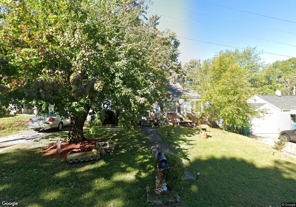
519 Player Dr High Point, NC 27260
Greater High Point NeighborhoodEstimated Value: $86,000 - $141,000
2
Beds
1
Bath
870
Sq Ft
$140/Sq Ft
Est. Value
About This Home
This home is located at 519 Player Dr, High Point, NC 27260 and is currently estimated at $122,069, approximately $140 per square foot. 519 Player Dr is a home located in Guilford County with nearby schools including Fairview Elementary School, Ferndale Middle School, and High Point Central High School.
Ownership History
Date
Name
Owned For
Owner Type
Purchase Details
Closed on
Jul 5, 2011
Sold by
Lambeth William Bruce and Lambeth Regina
Bought by
Kashif Muhammad and Riaz Nadia
Current Estimated Value
Home Financials for this Owner
Home Financials are based on the most recent Mortgage that was taken out on this home.
Original Mortgage
$20,000
Interest Rate
4.63%
Mortgage Type
Future Advance Clause Open End Mortgage
Purchase Details
Closed on
Apr 21, 2005
Sold by
Evans Barbara J
Bought by
Lambeth William Bruce and Lambeth Virginia Pauline
Create a Home Valuation Report for This Property
The Home Valuation Report is an in-depth analysis detailing your home's value as well as a comparison with similar homes in the area
Home Values in the Area
Average Home Value in this Area
Purchase History
| Date | Buyer | Sale Price | Title Company |
|---|---|---|---|
| Kashif Muhammad | $32,500 | None Available | |
| Lambeth William Bruce | $60,000 | -- |
Source: Public Records
Mortgage History
| Date | Status | Borrower | Loan Amount |
|---|---|---|---|
| Closed | Kashif Muhammad | $20,000 |
Source: Public Records
Tax History Compared to Growth
Tax History
| Year | Tax Paid | Tax Assessment Tax Assessment Total Assessment is a certain percentage of the fair market value that is determined by local assessors to be the total taxable value of land and additions on the property. | Land | Improvement |
|---|---|---|---|---|
| 2025 | $671 | $48,700 | $10,000 | $38,700 |
| 2024 | $671 | $48,700 | $10,000 | $38,700 |
| 2023 | $671 | $48,700 | $10,000 | $38,700 |
| 2022 | $656 | $48,700 | $10,000 | $38,700 |
| 2021 | $474 | $34,400 | $10,000 | $24,400 |
| 2020 | $474 | $34,400 | $10,000 | $24,400 |
| 2019 | $474 | $34,400 | $0 | $0 |
| 2018 | $0 | $34,400 | $0 | $0 |
| 2017 | $472 | $34,400 | $0 | $0 |
| 2016 | $602 | $42,900 | $0 | $0 |
| 2015 | $605 | $42,900 | $0 | $0 |
| 2014 | $615 | $42,900 | $0 | $0 |
Source: Public Records
Map
Nearby Homes
- 2109 Lowe Ave
- 1117 Jefferson St
- 1907 Apex Place
- 1605 Mossbrook Cir
- 640 Wesley Dr
- 1222 Carter St
- 1208 Anderson Place
- 1010 Grace St
- 1215 E Russell Ave
- 912 Grace St
- 1601 E Green Dr
- 1012 Meredith St
- 511 Hines St
- 312 Model Farm Rd
- 507 Hines St
- 223 Jay Place
- 1208 E Green Dr
- 607 Martha Place
- 915 Park St
- 707 Park St