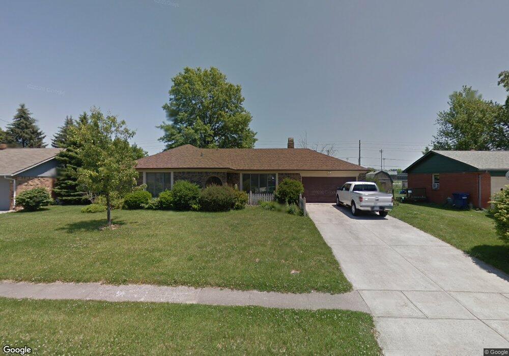
519 S Grant St Brownsburg, IN 46112
Estimated Value: $245,000 - $281,713
3
Beds
2
Baths
1,408
Sq Ft
$185/Sq Ft
Est. Value
About This Home
This home is located at 519 S Grant St, Brownsburg, IN 46112 and is currently estimated at $260,428, approximately $184 per square foot. 519 S Grant St is a home located in Hendricks County with nearby schools including Brown Elementary School, Brownsburg West Middle School, and Brownsburg High School.
Ownership History
Date
Name
Owned For
Owner Type
Purchase Details
Closed on
Oct 28, 2013
Sold by
Powell Michael D
Bought by
Beasley James and Beasley Gloria
Current Estimated Value
Home Financials for this Owner
Home Financials are based on the most recent Mortgage that was taken out on this home.
Original Mortgage
$125,000
Outstanding Balance
$93,587
Interest Rate
4.33%
Mortgage Type
VA
Estimated Equity
$166,841
Create a Home Valuation Report for This Property
The Home Valuation Report is an in-depth analysis detailing your home's value as well as a comparison with similar homes in the area
Home Values in the Area
Average Home Value in this Area
Purchase History
| Date | Buyer | Sale Price | Title Company |
|---|---|---|---|
| Beasley James | -- | -- |
Source: Public Records
Mortgage History
| Date | Status | Borrower | Loan Amount |
|---|---|---|---|
| Open | Beasley James | $125,000 |
Source: Public Records
Tax History Compared to Growth
Tax History
| Year | Tax Paid | Tax Assessment Tax Assessment Total Assessment is a certain percentage of the fair market value that is determined by local assessors to be the total taxable value of land and additions on the property. | Land | Improvement |
|---|---|---|---|---|
| 2024 | $2,246 | $224,600 | $25,900 | $198,700 |
| 2023 | $2,058 | $204,400 | $23,600 | $180,800 |
| 2022 | $1,834 | $185,000 | $22,500 | $162,500 |
| 2021 | $1,589 | $157,800 | $22,500 | $135,300 |
| 2020 | $1,562 | $155,100 | $22,500 | $132,600 |
| 2019 | $1,450 | $146,500 | $20,800 | $125,700 |
| 2018 | $1,434 | $140,700 | $20,800 | $119,900 |
| 2017 | $1,403 | $137,600 | $20,000 | $117,600 |
| 2016 | $1,365 | $133,800 | $20,000 | $113,800 |
| 2014 | $1,329 | $130,000 | $19,800 | $110,200 |
Source: Public Records
Map
Nearby Homes
- 308 Maplebrook Dr
- 409 S Grant St
- 3463 Sunnyvale Dr
- 609 Maple Ln
- 756 Maple Ln
- 652 E Tilden Dr
- 390 Vinewood Dr N
- 388 Vinewood Dr S
- 370 Vinewood Dr S
- 319 E College Ave
- 315 E College Ave Unit 20
- 470 Sycamore St
- 27 Ashwood Cir
- 509 E Main St
- 645 E Main St
- 4502 Yellowwood Ave
- 4498 Yellowwood Ave
- 4494 Yellowwood Ave
- 4497 Yellowwood Ave
- 4501 Yellowwood Ave
- 523 S Grant St
- 515 S Grant St
- 527 S Grant St
- 511 S Grant St
- 520 S Grant St
- 516 S Grant St
- 524 S Grant St
- 512 S Grant St
- 601 S Grant St
- 508 S Grant St
- 316 Maplebrook Dr
- 211 Gordon Ct
- 605 S Grant St
- 503 S Grant St
- 209 Gordon Ct
- 317 Maplebrook Dr
- 213 Gordon Ct
- 312 Maplebrook Dr
- 504 S Grant St
- 609 S Grant St