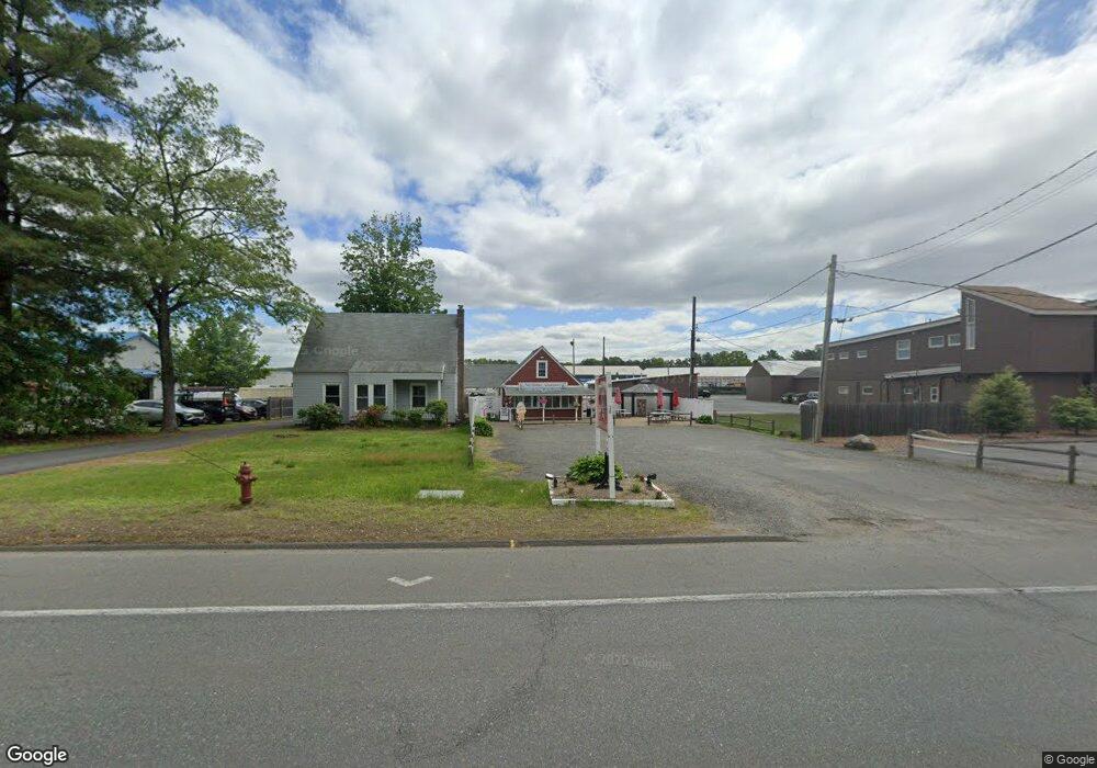
519 Southampton Rd Westfield, MA 01085
Estimated Value: $403,233
--
Bed
1
Bath
--
Sq Ft
0.5
Acres
About This Home
This home is located at 519 Southampton Rd, Westfield, MA 01085 and is currently estimated at $403,233. 519 Southampton Rd is a home located in Hampden County with nearby schools including Westfield High School, White Oak School, and Westfield Christian Academy.
Ownership History
Date
Name
Owned For
Owner Type
Purchase Details
Closed on
Nov 13, 2023
Sold by
Adams Richard K and Adams Cassandra L
Bought by
Japan Llc
Current Estimated Value
Home Financials for this Owner
Home Financials are based on the most recent Mortgage that was taken out on this home.
Original Mortgage
$161,000
Outstanding Balance
$158,088
Interest Rate
7.31%
Mortgage Type
Purchase Money Mortgage
Estimated Equity
$245,145
Purchase Details
Closed on
Feb 26, 2002
Sold by
Oconnor Dev Corp
Bought by
Adams Richard K and Adams Cassandra L
Home Financials for this Owner
Home Financials are based on the most recent Mortgage that was taken out on this home.
Original Mortgage
$72,000
Interest Rate
7.08%
Mortgage Type
Commercial
Create a Home Valuation Report for This Property
The Home Valuation Report is an in-depth analysis detailing your home's value as well as a comparison with similar homes in the area
Home Values in the Area
Average Home Value in this Area
Purchase History
| Date | Buyer | Sale Price | Title Company |
|---|---|---|---|
| Japan Llc | $350,000 | None Available | |
| Adams Richard K | $90,000 | -- |
Source: Public Records
Mortgage History
| Date | Status | Borrower | Loan Amount |
|---|---|---|---|
| Open | Japan Llc | $161,000 | |
| Previous Owner | Adams Richard K | $72,000 |
Source: Public Records
Tax History Compared to Growth
Tax History
| Year | Tax Paid | Tax Assessment Tax Assessment Total Assessment is a certain percentage of the fair market value that is determined by local assessors to be the total taxable value of land and additions on the property. | Land | Improvement |
|---|---|---|---|---|
| 2025 | -- | $337,900 | $152,600 | $185,300 |
| 2024 | -- | $318,100 | $138,600 | $179,500 |
| 2023 | $0 | $288,000 | $132,000 | $156,000 |
| 2022 | $0 | $256,800 | $117,900 | $138,900 |
| 2021 | $0 | $246,700 | $113,500 | $133,200 |
| 2020 | $0 | $240,300 | $113,500 | $126,800 |
| 2019 | $0 | $229,500 | $108,100 | $121,400 |
| 2018 | $0 | $229,000 | $108,100 | $120,900 |
| 2017 | $0 | $224,600 | $109,100 | $115,500 |
| 2016 | -- | $224,600 | $109,100 | $115,500 |
| 2015 | -- | $226,000 | $109,100 | $116,900 |
| 2014 | -- | $226,000 | $109,100 | $116,900 |
Source: Public Records
Map
Nearby Homes
- 507 Southampton Rd Unit 3R
- 507 Southampton Rd Unit 1R
- 507 Southampton Rd Unit 3
- 507 Southampton Rd Unit 2
- 518 Southampton Rd
- 528 Southampton Rd
- 506 Southampton Rd
- 498 Southampton Rd
- 501 Southampton Rd
- 538 Southampton Rd
- 546 Southampton Rd
- 480 Southampton Rd
- 558 Southampton Rd
- 566 Southampton Rd
- 47 Hopkins Rd
- 470 Southampton Rd
- 39 Hopkins Rd
- 74 Apremont Way
- 68 Apremont Way
- 578 Southampton Rd