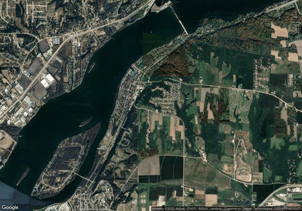
519 State Hampton, IL 61256
Studio
--
Bath
3,240
Sq Ft
--
Built
About This Home
This home is located at 519 State, Hampton, IL 61256. 519 State is a home located in Rock Island County with nearby schools including Hampton Elementary School, United Township High School, and Our Lady Of Grace.
Create a Home Valuation Report for This Property
The Home Valuation Report is an in-depth analysis detailing your home's value as well as a comparison with similar homes in the area
Tax History
| Year | Tax Paid | Tax Assessment Tax Assessment Total Assessment is a certain percentage of the fair market value that is determined by local assessors to be the total taxable value of land and additions on the property. | Land | Improvement |
|---|---|---|---|---|
| 2024 | $4,485 | $56,205 | $14,120 | $42,085 |
| 2023 | $4,485 | $52,675 | $13,233 | $39,442 |
| 2022 | $4,519 | $51,239 | $12,873 | $38,366 |
| 2021 | $4,327 | $48,986 | $12,307 | $36,679 |
| 2020 | $4,258 | $48,357 | $12,149 | $36,208 |
| 2019 | $4,284 | $47,478 | $11,928 | $35,550 |
| 2018 | $4,235 | $47,622 | $11,928 | $35,694 |
| 2017 | $4,078 | $46,734 | $11,706 | $35,028 |
| 2016 | $4,044 | $46,502 | $11,648 | $34,854 |
| 2015 | $3,985 | $45,591 | $11,420 | $34,171 |
| 2014 | $720 | $44,448 | $11,134 | $33,314 |
| 2013 | $720 | $44,448 | $11,134 | $33,314 |
Source: Public Records
Map
Nearby Homes
- 304 7th St
- LOT 201 James St
- 115 8th St
- 23 Cherry Hill Ct Unit 124
- 729 10th Ave
- 1005 5th Street A
- 513 12th Ave
- 626 14th Ave
- 242 S State Ave
- 24711 178th St
- 0 12th Unit L 13
- Lot 1 Kennedy
- 0 12th Unit L 11
- 0 12th Unit L 3
- 0 12th Unit L 2
- 0 12th Unit L 1
- 0 12th Unit L 14
- 0 12th Unit 17
- 0 12th Unit L 12
- 0 12th Unit L 4
