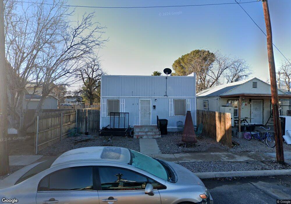
519 W 9th St Safford, AZ 85546
Estimated Value: $23,000 - $76,503
2
Beds
1
Bath
478
Sq Ft
$119/Sq Ft
Est. Value
About This Home
This home is located at 519 W 9th St, Safford, AZ 85546 and is currently estimated at $56,834, approximately $118 per square foot. 519 W 9th St is a home located in Graham County with nearby schools including Ruth Powell Elementary School, Dorothy Stinson School, and Lafe Nelson School.
Ownership History
Date
Name
Owned For
Owner Type
Purchase Details
Closed on
Nov 6, 2024
Sold by
Sezate Kelly
Bought by
Cummard Stephen
Current Estimated Value
Purchase Details
Closed on
May 18, 2016
Sold by
Decker David and Decker Mei Ling Marie
Bought by
Decker Mei Ling Marie
Home Financials for this Owner
Home Financials are based on the most recent Mortgage that was taken out on this home.
Original Mortgage
$25,000
Interest Rate
3.59%
Mortgage Type
Seller Take Back
Purchase Details
Closed on
Apr 21, 2015
Sold by
Bustamante Jose
Bought by
Decker Mei Ling Marie
Create a Home Valuation Report for This Property
The Home Valuation Report is an in-depth analysis detailing your home's value as well as a comparison with similar homes in the area
Home Values in the Area
Average Home Value in this Area
Purchase History
| Date | Buyer | Sale Price | Title Company |
|---|---|---|---|
| Cummard Stephen | $22,000 | Title Services Of The Valley | |
| Cummard Stephen | $22,000 | Title Services Of The Valley | |
| Decker Mei Ling Marie | -- | Pioneer Title Agency | |
| Engelhardt Stephen | $25,000 | Pioneer Title Agency | |
| Decker Mei Ling Marie | $11,000 | Safford Title Agency Inc |
Source: Public Records
Mortgage History
| Date | Status | Borrower | Loan Amount |
|---|---|---|---|
| Previous Owner | Engelhardt Stephen | $25,000 |
Source: Public Records
Tax History Compared to Growth
Tax History
| Year | Tax Paid | Tax Assessment Tax Assessment Total Assessment is a certain percentage of the fair market value that is determined by local assessors to be the total taxable value of land and additions on the property. | Land | Improvement |
|---|---|---|---|---|
| 2026 | $196 | -- | -- | -- |
| 2025 | $196 | $4,580 | $881 | $3,699 |
| 2024 | $204 | $4,335 | $881 | $3,454 |
| 2023 | $204 | $3,674 | $812 | $2,862 |
| 2022 | $200 | $3,242 | $812 | $2,430 |
| 2021 | $221 | $0 | $0 | $0 |
| 2020 | $213 | $0 | $0 | $0 |
| 2019 | $224 | $0 | $0 | $0 |
| 2018 | $251 | $0 | $0 | $0 |
| 2017 | $228 | $0 | $0 | $0 |
| 2016 | $212 | $0 | $0 | $0 |
| 2015 | $192 | $0 | $0 | $0 |
Source: Public Records
Map
Nearby Homes
- 616 W 7th St
- 1116 S 6th Ave
- 1104 S Central Ave
- 1108 S 9th Ave
- 1101 S 9th Place
- 813 W 13th St
- 1204 S 1st Ave
- 1210 S 1st Ave
- 216 S 6th Ave
- 120 Relation St Unit 2
- 1309 S Bingham Place
- 212 E 8th St
- 115 W 15th St
- 1536 W Cherokee Ln
- 1115 W Relation St
- 1544 Stone Willow Dr
- 832 W Stirrup Dr
- 1906 S Elm Ave
- 860 S Flagstone Way
- 1808 Mesa Cir