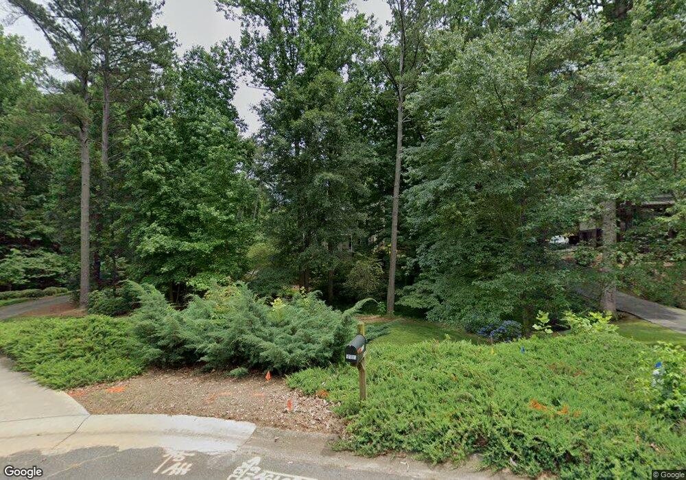
5191 Ozark Ln Marietta, GA 30062
East Cobb NeighborhoodEstimated Value: $663,401 - $773,000
4
Beds
3
Baths
2,782
Sq Ft
$254/Sq Ft
Est. Value
About This Home
This home is located at 5191 Ozark Ln, Marietta, GA 30062 and is currently estimated at $707,850, approximately $254 per square foot. 5191 Ozark Ln is a home located in Cobb County with nearby schools including Timber Ridge Elementary School, Dodgen Middle School, and Walton High School.
Ownership History
Date
Name
Owned For
Owner Type
Purchase Details
Closed on
Jul 28, 1997
Sold by
Jean Max M and Jean Wendy S
Bought by
Auman John C and Auman Barbara
Current Estimated Value
Create a Home Valuation Report for This Property
The Home Valuation Report is an in-depth analysis detailing your home's value as well as a comparison with similar homes in the area
Home Values in the Area
Average Home Value in this Area
Purchase History
| Date | Buyer | Sale Price | Title Company |
|---|---|---|---|
| Auman John C | $182,900 | -- |
Source: Public Records
Mortgage History
| Date | Status | Borrower | Loan Amount |
|---|---|---|---|
| Closed | Auman John C | -- |
Source: Public Records
Tax History Compared to Growth
Tax History
| Year | Tax Paid | Tax Assessment Tax Assessment Total Assessment is a certain percentage of the fair market value that is determined by local assessors to be the total taxable value of land and additions on the property. | Land | Improvement |
|---|---|---|---|---|
| 2025 | $1,379 | $267,524 | $62,000 | $205,524 |
| 2024 | $6,200 | $267,524 | $62,000 | $205,524 |
| 2023 | $4,462 | $212,436 | $37,600 | $174,836 |
| 2022 | $4,275 | $177,252 | $37,600 | $139,652 |
| 2021 | $4,157 | $171,836 | $37,600 | $134,236 |
| 2020 | $4,157 | $171,836 | $37,600 | $134,236 |
| 2019 | $4,157 | $171,836 | $37,600 | $134,236 |
| 2018 | $3,764 | $153,884 | $36,000 | $117,884 |
| 2017 | $3,662 | $153,884 | $36,000 | $117,884 |
| 2016 | $3,278 | $136,152 | $32,800 | $103,352 |
| 2015 | $3,054 | $123,180 | $22,000 | $101,180 |
| 2014 | $3,074 | $123,180 | $0 | $0 |
Source: Public Records
Map
Nearby Homes
- 2255 Rushmore Dr
- 1009 Lake Pointe Cir
- 3113 Lake Pointe Cir
- 3210 Lake Pointe Cir
- 4013 Lake Pointe Cir Unit 4013
- 4035 Connolly Ct
- 2039 Old Forge Way
- The Carrington Plan at Hillandale in Historic Roswell
- The Rocklyn Plan at Hillandale in Historic Roswell
- The Grafton Plan at Hillandale in Historic Roswell
- The Greighton Plan at Hillandale in Historic Roswell
- 2212 Heritage Trace View
- 2066 Old Forge Way
- 2655 Boulder Creek Dr NE
- 1929 Fields Pond Glen
- 5108 Nicolet Ct
- 3245 Bywater Trail Unit 6B
- 110 Boulder Dr
- 1961 Fields Pond Dr
- 5193 Ozark Ln
- 2205 Watercrest Commons Cir
- 2195 Watercrest Commons Cir
- 5188 Ozark Ln
- 2215 Watercrest Commons Cir
- 5195 Ozark Ln
- 2185 Watercrest Commons Cir
- 2185 Watercrest Commons Cir Unit 4
- 5190 Ozark Ln
- 2225 Watercrest Commons Cir
- 2175 Watercrest Commons Cir
- 5197 Ozark Ln
- 2175 Watercrest Commons Cir
- 5192 Ozark Ln
- 2235 Watercrest Commons Cir Unit 9
- 2235 Watercrest Commons Cir
- 2170 Watercrest Commons Cir
- 2170 Watercrest Commons Cir Unit 12
- 0 Ozark Ln Unit 7145366
- 2165 Watercrest Commons Cir
